Afley Peak
 Photo: Scott Krankkala, CC BY 2.0 (via Wikimedia Commons)
At a glance
Afley Peak is a summit of about 12,643 feet in Gunnison County, Colorado, within the Raggeds Wilderness. The peak lies in the Paonia Ranger District of the Grand Mesa, Uncompahgre and Gunnison National Forests, managed by the Forest Service, and the nearest town is Crested Butte, about 8.5 miles away. Several other destinations sit within a few miles. The Daisy Pass Blue Lake and Daisy Pass mountain biking trails are each under a mile away. Lake Irwin and Poverty Gulch Camping Area offer camping about 3 miles off.
- summit
- 12,643 ft
- managed by
- Forest Service
Where it is: Raggeds Wilderness · Paonia Ranger District
Near: Crested Butte · 8.5 mi
Been here? Tell people how it was.
We don't know of a mapped trail or route to the summit of Afley Peak. Plan the approach with local maps, a guidebook or a local guide, and check conditions before you go.
- Treasury Mountain13,458 ft · Colorado1 route6.5 mi away
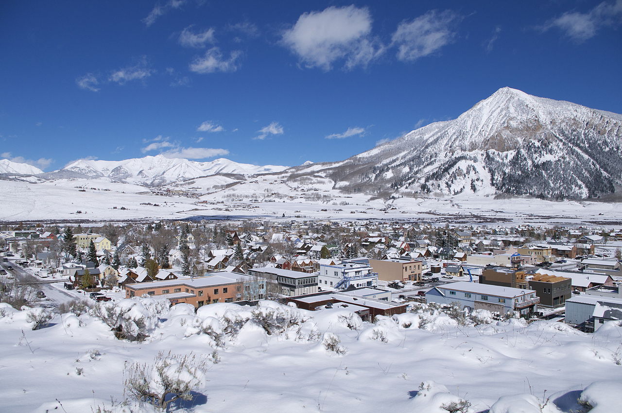 Crested Butte12,152 ft · Colorado1 route9.8 mi awayPhoto: Chris Segal, CC0 (via Wikimedia Commons)
- Precarious Peak13,366 ft · Colorado1 route11 mi away
- Maroon Peak14,157 ft · Colorado1 route12 mi away
- Raven Mesa8,292 ft · Colorado1 route13 mi away
- North Maroon Peak14,012 ft · Colorado1 route13 mi away
 Daisy Pass Blue LakeMountain bikingPhoto: Sheila Sund from Salem, United States, CC BY 2.0 (via Wikimedia Commons)0.6 mi
- Daisy PassMountain biking1.2 mi
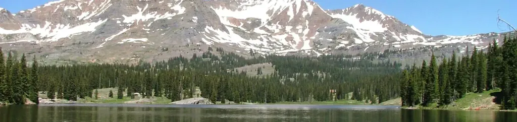 Lake IrwinCampingPhoto: Recreation.gov (RIDB) / public domain2.8 mi
- Poverty Gulch Camping AreaCamping3.3 mi
- Ruby Anthracite CreekCanoeing3.4 mi
 Slate RiverCanoeingPhoto: Jeffrey Beall, CC BY 3.0 (via Wikimedia Commons)7 mi
- Crested ButteRock climbing7.1 mi
- Skyland BouldersRock climbing8.9 mi
 Purple PeakSummitPhoto: Scott Krankkala, CC BY 2.0 (via Wikimedia Commons)~1 min drive
 Mount OwenSummitPhoto: John Sowell, CC BY-SA 4.0 (via Wikimedia Commons)~2 min drive
 Purple MountainSummitPhoto: Jonathan Fox, CC BY-SA 2.0 (via Wikimedia Commons)~8 min drive
 Gothic MountainSummitPhoto: Jeffrey Beall from Denver, Colorado, USA, CC BY-SA 2.0 (via Wikimedia Commons)~11 min drive
 Marcellina MountainSummitPhoto: John Sowell, CC BY-SA 4.0 (via Wikimedia Commons)~12 min drive
 East Beckwith MountainSummitPhoto: GregJoeson, CC BY-SA 4.0 (via Wikimedia Commons)~13 min drive
 West Beckwith MountainSummitPhoto: John Sowell, CC BY-SA 4.0 (via Wikimedia Commons)~16 min drive
 Carbon PeakSummitPhoto: John Sowell, CC BY-SA 4.0 (via Wikimedia Commons)~17 min drive
- Crested ButteSummitPhoto: Chris Segal, CC0 (via Wikimedia Commons)~17 min drive
 Whetstone MountainSummitPhoto: John Holm from Leadville, CO, USA, CC BY 2.0 (via Wikimedia Commons)~17 min drive
Also worth it near here
 Silver BasinMountain bikingPhoto: John Sowell, CC BY-SA 4.0 (via Wikimedia Commons)~4 min drive
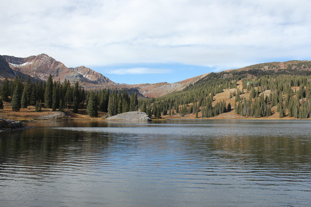 ScarpHikingPhoto: Jeffrey Beall, CC BY-SA 2.0 (via Flickr)~4 min drive
- Lake IrwinCamping~5 min drive
 Gunsight Pass Road RoadCross-country skiingPhoto: Sheila Sund from Salem, United States, CC BY 2.0 (via Wikimedia Commons)~8 min drive
Conditions and forecast
Daily highs and lows, wind and the chance of precipitation at the summit for the next 7 days, from the Open-Meteo model.
Questions about Afley Peak
How tall is Afley Peak?
12,643 ft (3,854 m).
Is there a trail to the top of Afley Peak?
We don't know of a mapped trail or route to the summit. Plan the approach with local maps, a guidebook or a local guide.
Ask about this place
Questions about Afley Peak: conditions, access, timing. Answers say when something isn't known.
