West Beckwith Mountain
 Photo: John Sowell, CC BY-SA 4.0 (via Wikimedia Commons)
- 12,177 ft
- summit
- Forest Service
- managed by
Is West Beckwith Mountain open right now?
Closure in the area
There's a closure order in Grand Mesa, Uncompahgre and Gunnison National Forests. It doesn't name West Beckwith Mountain, so check the source for the area it covers (2 listed).
Gold Mountain Wildfire Roads and Trails Closure Order v 4.0
Agency closure covering Grand Mesa, Uncompahgre and Gunnison National Forests · USFS · Grand Mesa, Uncompahgre and Gunnison National Forests
Ophir Pass Road Closure
Agency closure covering Grand Mesa, Uncompahgre and Gunnison National Forests · USFS · Grand Mesa, Uncompahgre and Gunnison National Forests
Potter Basin Road Closure Order
Agency alert covering Grand Mesa, Uncompahgre and Gunnison National Forests · USFS · Grand Mesa, Uncompahgre and Gunnison National Forests
Beaver Park Road Closure Order
Agency alert covering Grand Mesa, Uncompahgre and Gunnison National Forests · USFS · Grand Mesa, Uncompahgre and Gunnison National Forests
TERMINATION OF ORDER - FIRE RESTRICTIONS
Agency alert covering Grand Mesa, Uncompahgre and Gunnison National Forests · USFS · Grand Mesa, Uncompahgre and Gunnison National Forests
As of · Source: USFS · Grand Mesa, Uncompahgre and Gunnison National Forests. Agencies don't list every closure — check before you go.
West Beckwith Mountain is a summit in Gunnison County, Colorado, inside the West Elk Wilderness. It lies within the Paonia Ranger District of the Grand Mesa, Uncompahgre and Gunnison National Forests, managed by the Forest Service, and the nearest town is Somerset, about 11 miles away. Cliff Creek is about 3 miles away. Lost Lake Campground, the Three Lakes Loop and Beckwith Pass are each roughly 3.6 miles from the mountain.
Conditions and forecast
Daily highs and lows, wind and the chance of precipitation at the summit for the next 7 days, from the Open-Meteo model.
- Summit elevation
- 12,177 ft
- Land manager
- Forest Service
Elevation from USGS 3D Elevation Program terrain data (about 10 m resolution).
We don't know of a mapped trail or route to the summit of West Beckwith Mountain. Plan the approach with local maps, a guidebook or a local guide, and check conditions before you go.
Questions about West Beckwith Mountain
How tall is West Beckwith Mountain?
12,177 ft (3,712 m).
Is there a trail to the top of West Beckwith Mountain?
We don't know of a mapped trail or route to the summit. Plan the approach with local maps, a guidebook or a local guide.
- Raven Mesa8,292 ft · Colorado1 route4.7 mi away
 West Elk Peak13,039 ft · Colorado1 route11 mi awayPhoto: John Sowell, CC BY-SA 4.0 (via Wikimedia Commons)
 Mount Lamborn11,403 ft · Colorado1 route14 mi awayPhoto: Northforker, CC BY-SA 3.0 (via Wikimedia Commons)
- Treasury Mountain13,458 ft · Colorado1 route14 mi away
- Bonfisk Peak11,619 ft · Colorado1 route15 mi away
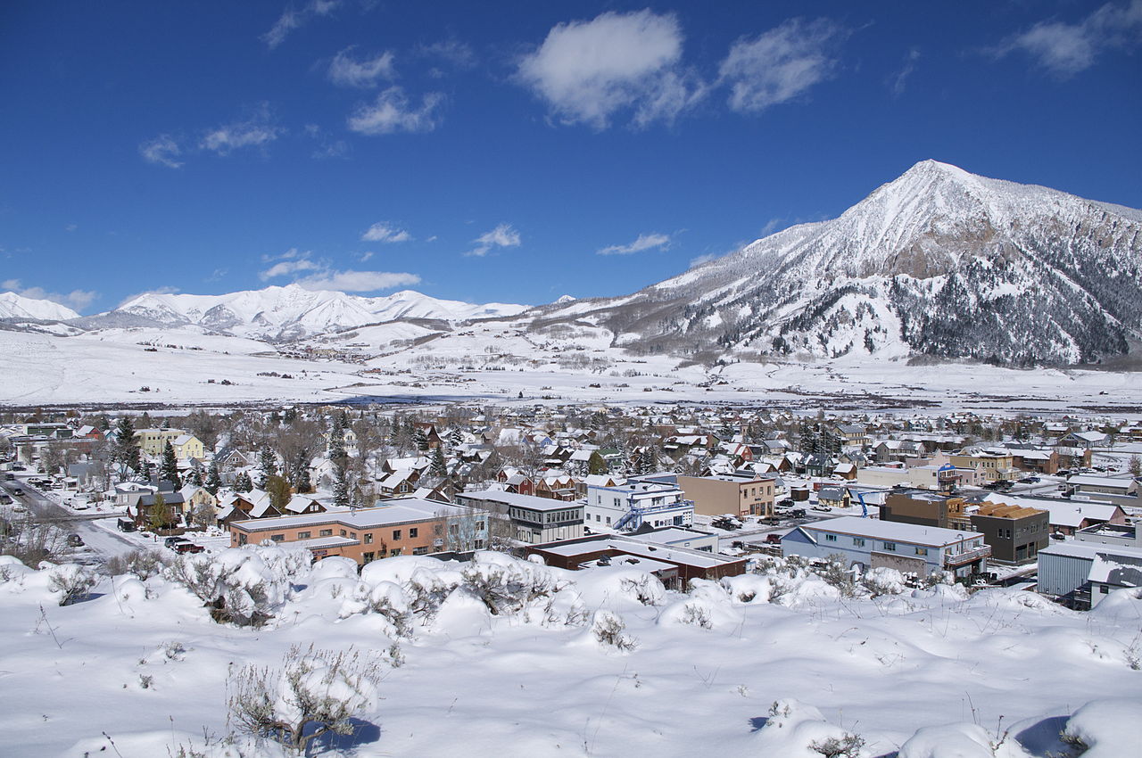 Crested Butte12,152 ft · Colorado1 route18 mi awayPhoto: Chris Segal, CC0 (via Wikimedia Commons)
- Cliff CreekCanoeing3 mi
- Lost Lake CampgroundCamping3.6 mi
- Three Lakes LoopHiking3.6 mi
- Three Lakes CampgroundHiking3.6 mi
- Beckwith PassHiking3.6 mi
- Coal CreekCanoeing4.4 mi
- Anthracite CreekCanoeing6 mi
- Erickson Springs CampgroundCamping6.7 mi
Source: Roamze catalog (indexable pages within 10 miles, PostGIS distance)
 East Beckwith MountainSummit · ~5 min drivePhoto: GregJoeson, CC BY-SA 4.0 (via Wikimedia Commons)
 Marcellina MountainSummit · ~9 min drivePhoto: John Sowell, CC BY-SA 4.0 (via Wikimedia Commons)
 Mount OwenSummit · ~15 min drivePhoto: John Sowell, CC BY-SA 4.0 (via Wikimedia Commons)
 Purple PeakSummit · ~16 min drivePhoto: Scott Krankkala, CC BY 2.0 (via Wikimedia Commons)
 Afley PeakSummit · ~16 min drivePhoto: Scott Krankkala, CC BY 2.0 (via Wikimedia Commons)
 Mount GueroSummit · ~20 min drivePhoto: formulanone, CC BY-SA 2.0 (via Wikimedia Commons)
 Purple MountainSummit · ~22 min drivePhoto: Jonathan Fox, CC BY-SA 2.0 (via Wikimedia Commons)
 Carbon PeakSummit · ~23 min drivePhoto: John Sowell, CC BY-SA 4.0 (via Wikimedia Commons)
 Chair MountainSummit · ~23 min drivePhoto: Hogs555, CC BY-SA 3.0 (via Wikimedia Commons)
- Mount LambornSummit · ~24 min drivePhoto: Northforker, CC BY-SA 3.0 (via Wikimedia Commons)
Also worth it near here
- Lost Lake SloughLake fishing · ~6 min drive
 Beckwith BenchHiking · ~9 min drivePhoto: indigoprime, CC BY 2.0 (via Flickr)
 Dark CanyonMountain biking · ~11 min drivePhoto: John Sowell, CC BY-SA 4.0 (via Wikimedia Commons)
 North Fork Gunnison RiverCanoeing · ~12 min drivePhoto: Jeffrey Beall, CC BY-SA 3.0 (via Wikimedia Commons)
