Bigelow/Bear Wallow
Campground
3.1 mi from the trail
Upper Highway is a climbing area in Arizona's Coronado National Forest, within the Santa Catalina Ranger District. The land is managed by the Forest Service. Spring and fall are the most comfortable times to visit. Typical averages from a nearby weather station show highs around 71°F in May and 68°F in October, while winter highs sit in the low 50s. The area has 10 routes, split evenly between sport and trad climbing, with bouldering routes as well. Grades run from 5.8 up to 5.11. Among the named routes are Town Without Pity, a 5.10 trad climb, and Killer Pillar, a 5.11- sport route. Pleeze Don't Cry is a boulder problem with a V1 grade. Ventana Canyon Bouldering and Primus Wall are other climbing areas within about a mile. Aspen Draw Trail #423 is a mountain biking route just 0.2 miles away. For camping, Spencer Canyon is about 3 miles off.
10 routes · 5.8 – 5.11- · Trad · Sport · Bouldering
Where it is: Santa Catalina Ranger District · Coronado National Forest
Near: Tucson
Best months: March–November. Best months have typical highs of 55–85 °F, lows of 30 °F or warmer (32 °F where the station doesn't record snow), at most one snowy day and no more than 12 wet days.
Jan
50°
34°
Feb
50°
33°
Mar
55°
37°
Apr
62°
43°
May
71°
51°
Jun
80°
60°
Jul
80°
63°
Aug
79°
62°
Sep
75°
59°
Oct
68°
49°
Nov
59°
40°
Dec
49°
33°
Typical high / low (°F) and days with rain or snow, 1991–2020. Measured at Mt Lemmon Willow Canyon, AZ, 6.4 mi away at 7,027 ft. The station sits about 1,500 ft lower than this place, so expect it a little cooler here. This station doesn't record snowfall. Source: NOAA NCEI U.S. Climate Normals 1991–2020.
Been here? Tell people how it was.
 Aspen DrawMountain bikingPhoto: Colton Marshall abstractstatemachine, CC0 (via Wikimedia Commons)0.4 mi
 Primus WallRock climbingPhoto: KimonBerlin, CC BY-SA 2.0 (via Flickr)1 mi
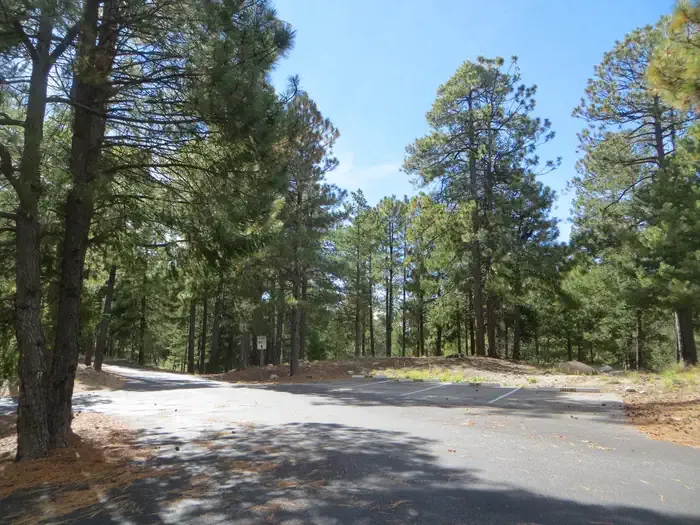 Whitetail CampgroundCampingPhoto: Recreation.gov (RIDB) / public domain3.7 miPrimus WallRock climbingPhoto: KimonBerlin, CC BY-SA 2.0 (via Flickr)~2 min driveEntrance BouldersRock climbingPhoto: KimonBerlin, CC BY-SA 2.0 (via Flickr)~2 min driveWilderness of Rocks DomesRock climbingPhoto: KimonBerlin, CC BY-SA 2.0 (via Flickr)~2 min drive
 Quartzite Spring BoulderRock climbingPhoto: Jacob Kannel jrkannel, CC0 (via Wikimedia Commons)~2 min drive
 Zester clusterRock climbingPhoto: KimonBerlin, CC BY-SA 2.0 (via Flickr)~2 min drive
 Crossbones BoulderRock climbingPhoto: cogdogblog, CC BY 2.0 (via Flickr)~2 min driveWilderness of RocksRock climbingPhoto: KimonBerlin, CC BY-SA 2.0 (via Flickr)~2 min driveThe FortressRock climbingPhoto: cogdogblog, CC BY 2.0 (via Flickr)~2 min driveLoma LindaRock climbingPhoto: Colton Marshall abstractstatemachine, CC0 (via Wikimedia Commons)~3 min drive
 Gollum'sRock climbingPhoto: Debbie, CC BY 2.0 (via Wikimedia Commons)~4 min drive
Also worth it near here
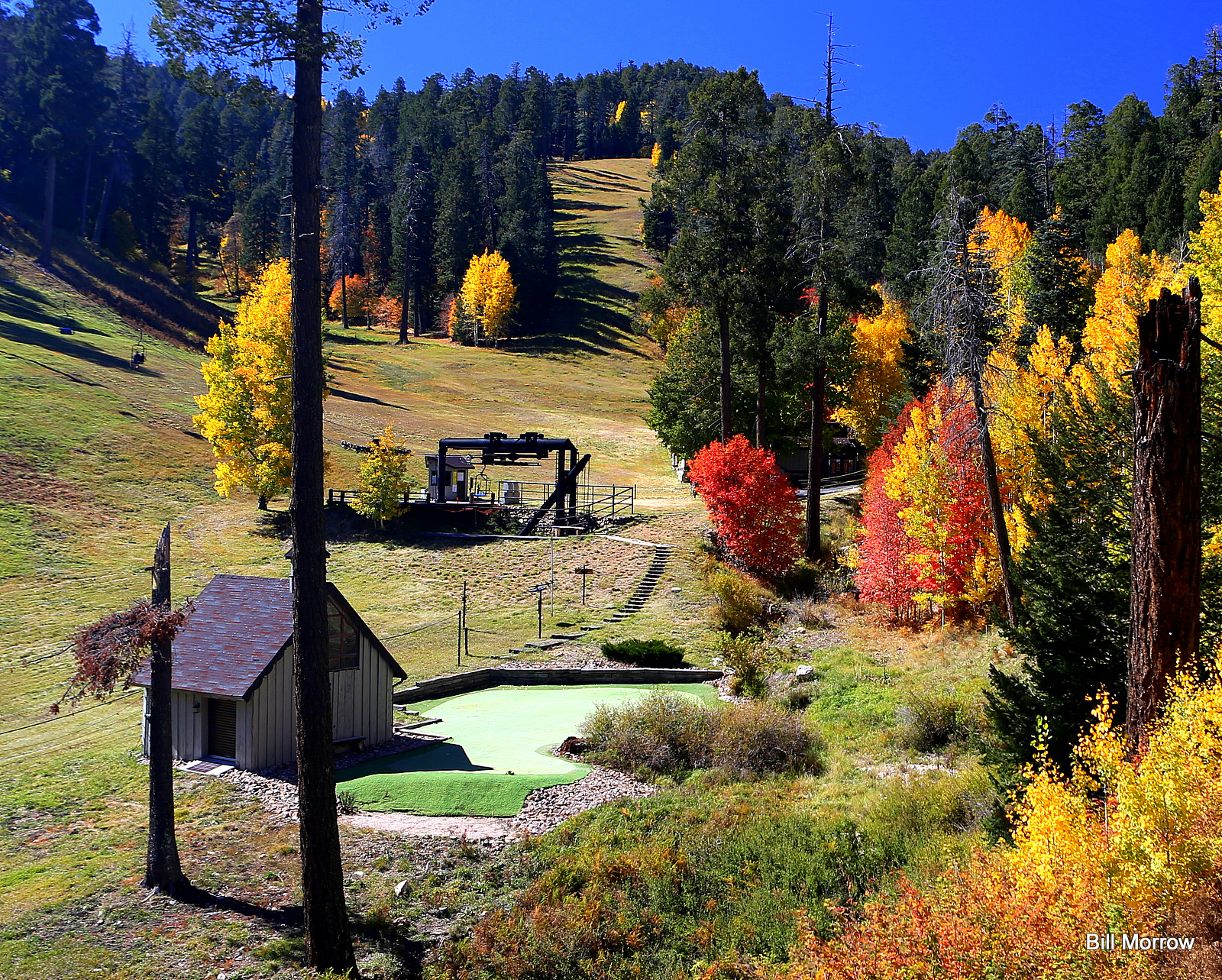 Mount Lemmon Ski ValleyDownhill skiingPhoto: Bill Morrow, CC BY 2.0 (via Wikimedia Commons)Next doorAspen DrawMountain bikingPhoto: Colton Marshall abstractstatemachine, CC0 (via Wikimedia Commons)Next door
 Mount LemmonSummitPhoto: Debby Kriegel, Public domain (via Wikimedia Commons)Next door
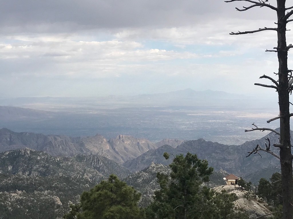 MeadowHikingPhoto: 666isMONEY ☮ ♥ & ☠, CC BY 2.0 (via Flickr)Next door
Daily highs and lows, wind and the chance of precipitation at Upper Highway for the next 7 days, from the Open-Meteo model.
Questions about Upper Highway: conditions, access, timing. Answers say when something isn't known.
Bigelow/Bear Wallow
Campground
Iron Door Restaurant
Restaurant
Places © OpenStreetMap contributors
More in Oracle