Bigelow/Bear Wallow
Campground
Campground · 4.0 mi from the trail
Closure in the area
There's a closure order in Santa Catalina Ranger District. It doesn't name Crackathon, so check the source for the area it covers.
Marshall Gulch Closure Order
Agency closure covering Santa Catalina Ranger District · Order 03-05-05-26-009 · USFS · Santa Catalina Ranger District
Border Barrier Construction Closure
Agency alert covering Coronado National Forest · Order 03-05-00-26-011 · USFS · Coronado National Forest
No Fire Restrictions
Agency alert covering Coronado National Forest · USFS · Coronado National Forest
Barfoot Snake Closure Order 03-05-01-24-004
Agency alert covering Coronado National Forest · USFS · Coronado National Forest
As of · Source: USFS · Santa Catalina Ranger District. Agencies don't list every closure — check before you go.
One of nine routes catalogued at Upper Highway's North Park sector, this climb sits near the top of the grade range found here. First ascent: BBD, MC.
Bigelow/Bear Wallow
Campground
Iron Door Restaurant
Restaurant
Wildlife Viewing Area
Viewpoint
Places © OpenStreetMap contributors
More in OracleBest months: March–November. Best months have typical highs of 55–85 °F, lows of 30 °F or warmer (32 °F where the station doesn't record snow), at most one snowy day and no more than 12 wet days.
Jan
50° / 34°
Feb
50° / 33°
Mar
55° / 37°
Apr
62° / 43°
May
71° / 51°
Jun
80° / 60°
Jul
80° / 63°
Aug
79° / 62°
Sep
75° / 59°
Oct
68° / 49°
Nov
59° / 40°
Dec
49° / 33°
Typical high / low (°F) and days with rain or snow, 1991–2020. Measured at Mt Lemmon Willow Canyon, AZ, 7.3 mi away at 7,027 ft. This station doesn't record snowfall. Source: NOAA NCEI U.S. Climate Normals 1991–2020.
 Photo: Jacob Kannel jrkannel, CC0 (via Wikimedia Commons)
Quartzite Spring Boulder
~3 min drive
Quartzite Spring Boulder in Arizona has 5 bouldering routes on quartzite rock.
 Photo: cogdogblog, CC BY 2.0 (via Flickr)
Crossbones Boulder
~3 min drive
Crossbones Boulder in Arizona has 5 bouldering routes spanning 4 difficulty grades.
Photo: cogdogblog, CC BY 2.0 (via Flickr)The Murray Wall
~3 min drive
Murray Wall, The is a climbing area in Arizona with 17 routes.
Photo: cogdogblog, CC BY 2.0 (via Flickr)The Fortress
~3 min drive
Fortress, The in Arizona has 4 climbing routes.
 Photo: KimonBerlin, CC BY-SA 2.0 (via Flickr)
Wilderness of Rocks Domes
~3 min drive
5 routes at Wilderness of Rocks Domes in Arizona, sport and trad climbing.
Photo: KimonBerlin, CC BY-SA 2.0 (via Flickr)Primus Wall
~3 min drive
Primus Wall is a sport climbing area in Arizona with 6 routes.
Photo: KimonBerlin, CC BY-SA 2.0 (via Flickr)Entrance Boulders
~3 min drive
Entrance Boulders in Arizona has 29 bouldering routes across 11 grades.
 Photo: KimonBerlin, CC BY-SA 2.0 (via Flickr)
Zester cluster
~4 min drive
Zester cluster in Arizona has 5 bouldering routes across 4 difficulty grades.
Photo: KimonBerlin, CC BY-SA 2.0 (via Flickr)Wilderness of Rocks
~4 min drive
Wilderness of Rocks in Arizona has 7 climbing routes from 5.11 to 5.12c.
 Photo: Colton Marshall abstractstatemachine, CC0 (via Wikimedia Commons)
Loma Linda
~4 min drive
6 bouldering routes in Arizona at Loma Linda.
Also worth it near here
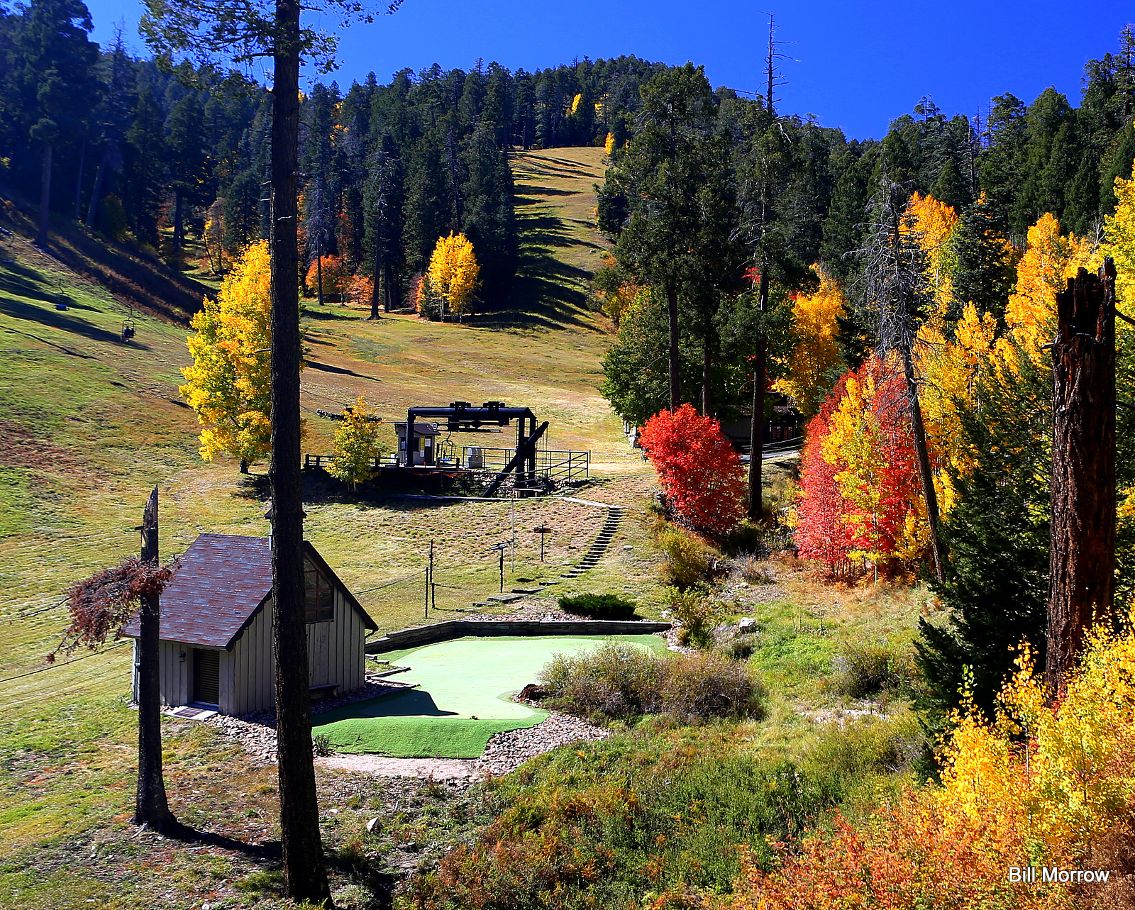 Photo: Bill Morrow, CC BY 2.0 (via Wikimedia Commons)
Mount Lemmon Ski Valley
~2 min drive
 Photo: Debby Kriegel, Public domain (via Wikimedia Commons)
Mount Lemmon
~2 min drive
Photo: Colton Marshall abstractstatemachine, CC0 (via Wikimedia Commons)Aspen Draw
~2 min drive
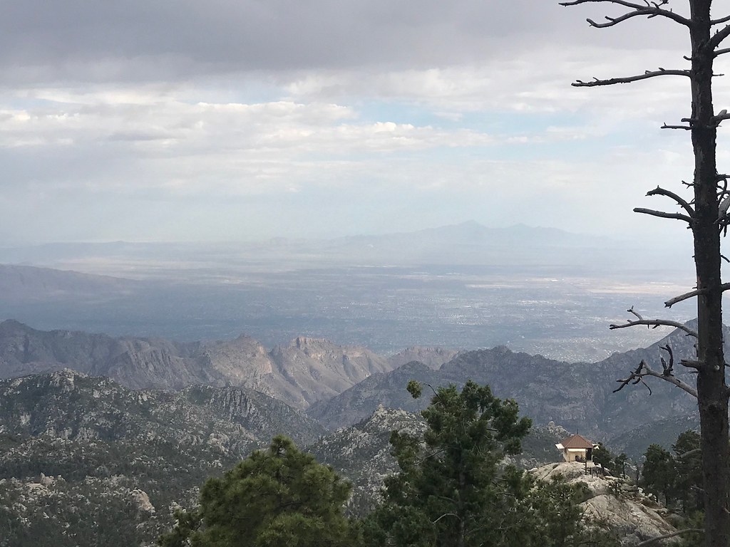 Photo: 666isMONEY ☮ ♥ & ☠, CC BY 2.0 (via Flickr)
Meadow
~2 min drive
