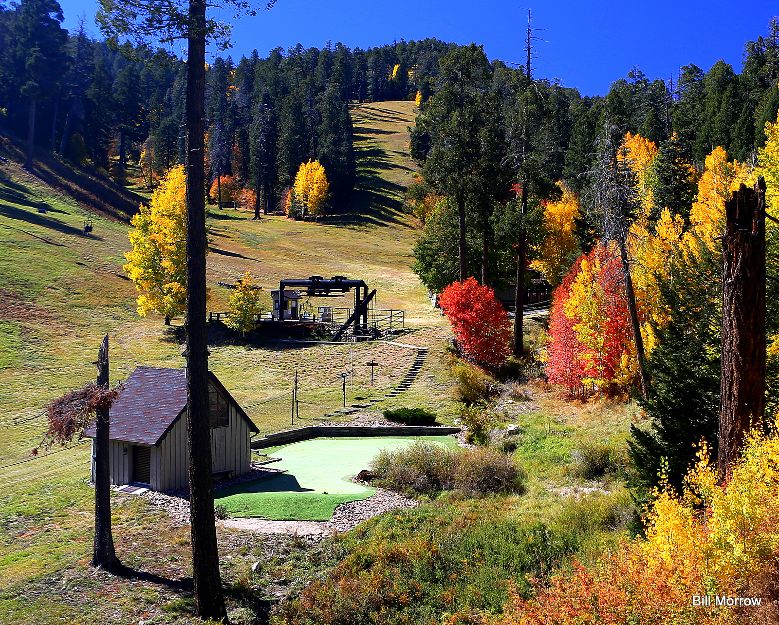
Spencer Canyon
Campground
Campground · 3.2 mi from the trail
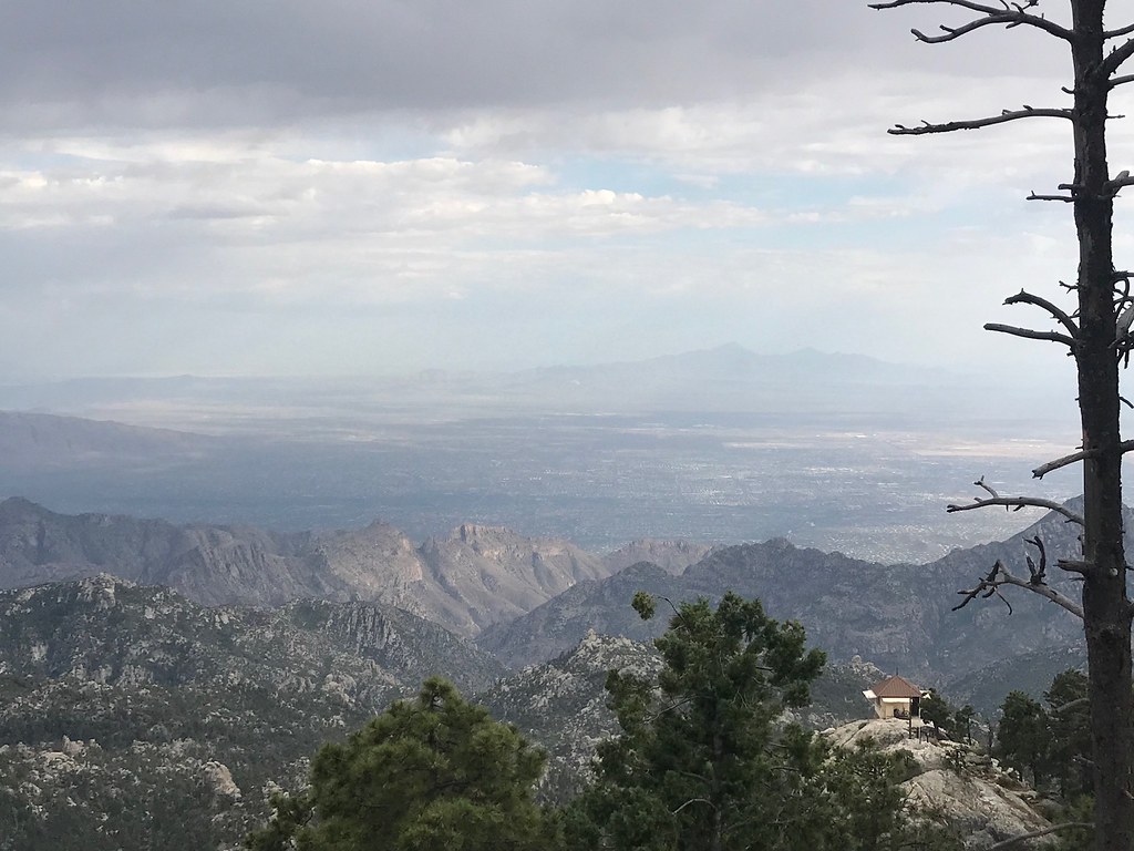 Photo: 666isMONEY ☮ ♥ & ☠, CC BY 2.0 (via Flickr)
Closure in the area
There's a closure order in Santa Catalina Ranger District. It doesn't name Meadow, so check the source for the area it covers.
Marshall Gulch Closure Order
Agency closure covering Santa Catalina Ranger District · Order 03-05-05-26-009 · USFS · Santa Catalina Ranger District
Border Barrier Construction Closure
Agency alert covering Coronado National Forest · Order 03-05-00-26-011 · USFS · Coronado National Forest
No Fire Restrictions
Agency alert covering Coronado National Forest · USFS · Coronado National Forest
Barfoot Snake Closure Order 03-05-01-24-004
Agency alert covering Coronado National Forest · USFS · Coronado National Forest
As of · Source: USFS · Santa Catalina Ranger District. Agencies don't list every closure — check before you go.
Meadow is a short, easy hike in the Santa Catalina Ranger District of Coronado National Forest in Arizona, about 1.7 miles long and rising about 13 feet from a low point of 8,821 feet to a high of 9,109 feet. The Forest Service manages the land, and the trail is an out-and-back with a natural surface. Bikes and horses are both allowed, and the trail is not accessible. The trip starts at the MT. LEMMON/ASPEN parking area, and the route stays open year-round. The climb is gentle, so the hike works well as a quick outing or a stop on the way to other spots in the area. Meadow Trail #5A, a mountain biking route, lies about 0.3 miles away, and Ventana Canyon Bouldering and Quartzite Spring Boulder are both about half a mile off. For an overnight stay, Spencer Canyon campground is about 3.2 miles away.
Spencer Canyon
Campground
Iron Door Restaurant
Restaurant
Places © OpenStreetMap contributors
More in Oracle Photo: KimonBerlin, CC BY-SA 2.0 (via Flickr)
Mint Springs
~2 min drive
3.35-mile out-and-back trail to Mint Springs in Arizona with 167 ft of elevation gain.
 Photo: cogdogblog, CC BY 2.0 (via Flickr)
Canada Del Oro
~2 min drive
16.24-mile out-and-back trail in Arizona with 223 ft of elevation gain.
 Photo: Joe Passe, CC BY-SA 2.0 (via Flickr)
East Ski Run Road
~3 min drive
A brief 0.69-mile out-and-back trail in Arizona that connects to the Aspen Draw Trail system.
HIKE
Oracle Ridge Trail #1
~6 min drive
A 7.85-mile out-and-back dirt trail in Arizona ideal for hikers looking for a straightforward desert hiking experience.
Photo: KimonBerlin, CC BY-SA 2.0 (via Flickr)Marshall Gulch Trail #3
~2 min drive
A moderate 1.30-mile out-and-back trail in Arizona that connects to Aspen Trail #93, ideal for hikers seeking a straightforward mountain experience.
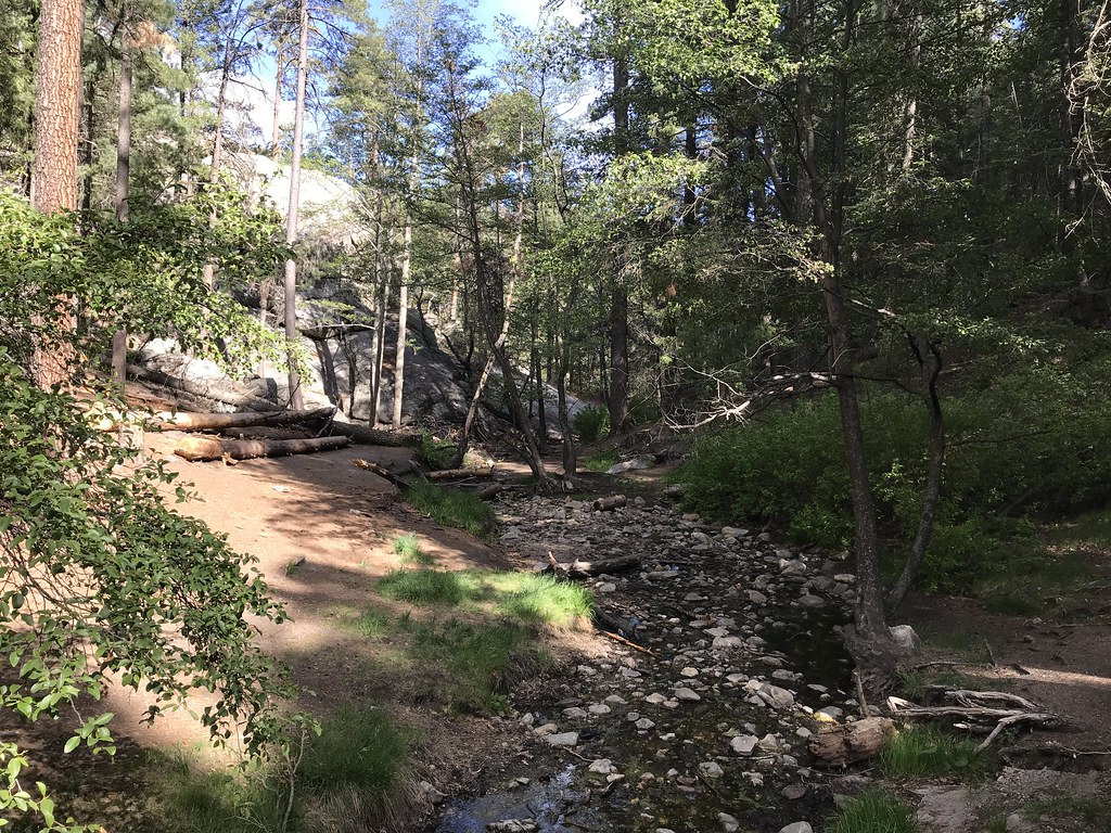 Photo: 666isMONEY ☮ ♥ & ☠, CC BY 2.0 (via Flickr)
Aspen
~4 min drive
7.87-mile out-and-back trail in Arizona with 1,610 ft elevation gain.
Photo: 666isMONEY ☮ ♥ & ☠, CC BY 2.0 (via Flickr)North Sabino Canyon Park
~3 min drive
1.24-mile out-and-back trail in Arizona with 397 ft elevation gain.
 Photo: Joe Passe, CC BY-SA 2.0 (via Flickr)
Aspen Draw
~2 min drive
Aspen Draw is a 3.86-mile out-and-back trail in Arizona with 1,095 ft of elevation gain.
Photo: Joe Passe, CC BY-SA 2.0 (via Flickr)Crystal Spring
~5 min drive
7.47-mile out-and-back trail to Crystal Spring in Arizona with 467 ft gain.
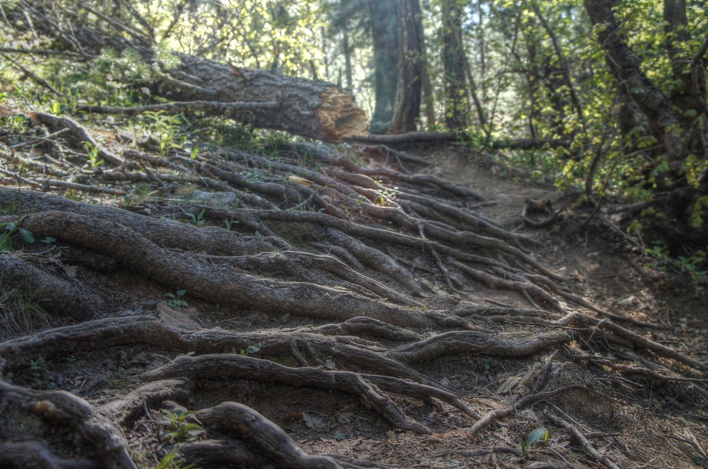 Photo: dennyforreal, CC BY 2.0 (via Flickr)
Box Spring Trail #22A
~5 min drive
0.62-mile out-and-back trail in Arizona with 288 ft of elevation gain.