Spencer Canyon
Campground
Campground · 3.3 mi from the trail
 Photo: Debby Kriegel, Public domain (via Wikimedia Commons)
Closure in the area
There's a closure order in Santa Catalina Ranger District. It doesn't name Mount Lemmon, so check the source for the area it covers.
Marshall Gulch Closure Order
Agency closure covering Santa Catalina Ranger District · Order 03-05-05-26-009 · USFS · Santa Catalina Ranger District
Border Barrier Construction Closure
Agency alert covering Coronado National Forest · Order 03-05-00-26-011 · USFS · Coronado National Forest
No Fire Restrictions
Agency alert covering Coronado National Forest · USFS · Coronado National Forest
Barfoot Snake Closure Order 03-05-01-24-004
Agency alert covering Coronado National Forest · USFS · Coronado National Forest
As of · Source: USFS · Santa Catalina Ranger District. Agencies don't list every closure — check before you go.
Mount Lemmon is a summit in Pima County, Arizona, rising to about 9,163 feet in the Santa Catalina Ranger District of Coronado National Forest. The Forest Service manages the land, and the small community of Summerhaven sits about 0.8 miles away, making it the nearest town. Plenty of options lie close to the top. The Meadow hike starts just 0.2 miles away, and Ventana Canyon Bouldering is about 0.3 miles off. Riders can pick up Meadow Trail #5A at roughly 0.4 miles, and Spencer Canyon campground sits about 3.3 miles away for those staying overnight.
Spencer Canyon
Campground
Iron Door Restaurant
Restaurant
Places © OpenStreetMap contributors
More in OracleDaily highs and lows, wind and the chance of precipitation at the summit for the next 7 days, from the Open-Meteo model.
Elevation from USGS 3D Elevation Program terrain data (about 10 m resolution).
We don't know of a mapped trail or route to the summit of Mount Lemmon. Plan the approach with local maps, a guidebook or a local guide, and check conditions before you go.
9,163 ft (2,793 m).
We don't know of a mapped trail or route to the summit. Plan the approach with local maps, a guidebook or a local guide.

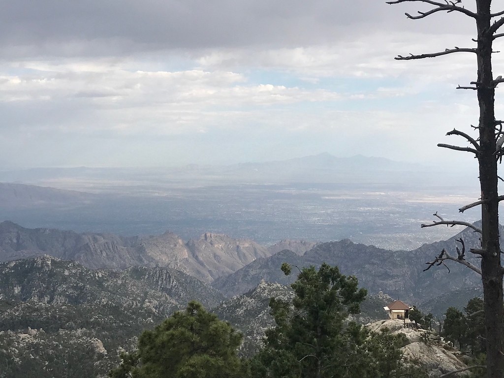 MeadowHikingPhoto: 666isMONEY ☮ ♥ & ☠, CC BY 2.0 (via Flickr)0.2 mi
 Meadow Trail #5AMountain bikingPhoto: Jacob Kannel jrkannel, CC0 (via Wikimedia Commons)0.4 mi
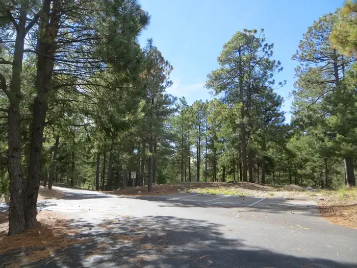 Whitetail CampgroundCampingPhoto: Recreation.gov (RIDB) / public domain3.9 mi
Source: Roamze catalog (indexable pages within 10 miles, PostGIS distance)
 Thimble PeakSummit · ~13 min drivePhoto: Susan Lynn Peterson, CC BY-SA 3.0 (via Wikimedia Commons)
 Mica MountainSummit · ~36 min drivePhoto: All Fronts Quiet, CC BY-SA 3.0 (via Wikimedia Commons)
 Signal HillSummit · ~46 min drivePhoto: hakkun, CC BY-SA 3.0 (via Wikimedia Commons)
 Black MountainSummit · ~50 min drivePhoto: $1LENCE D00600D, CC BY-SA 3.0 (via Wikimedia Commons)Pusch PeakSummit · ~17 min drivePhoto: Djmaschek, CC BY-SA 3.0 (via Wikimedia Commons)
 Apache PeakSummit · ~1h 21m drivePhoto: Pete Forsyth, CC BY 3.0 (via Wikimedia Commons)
Also worth it near here
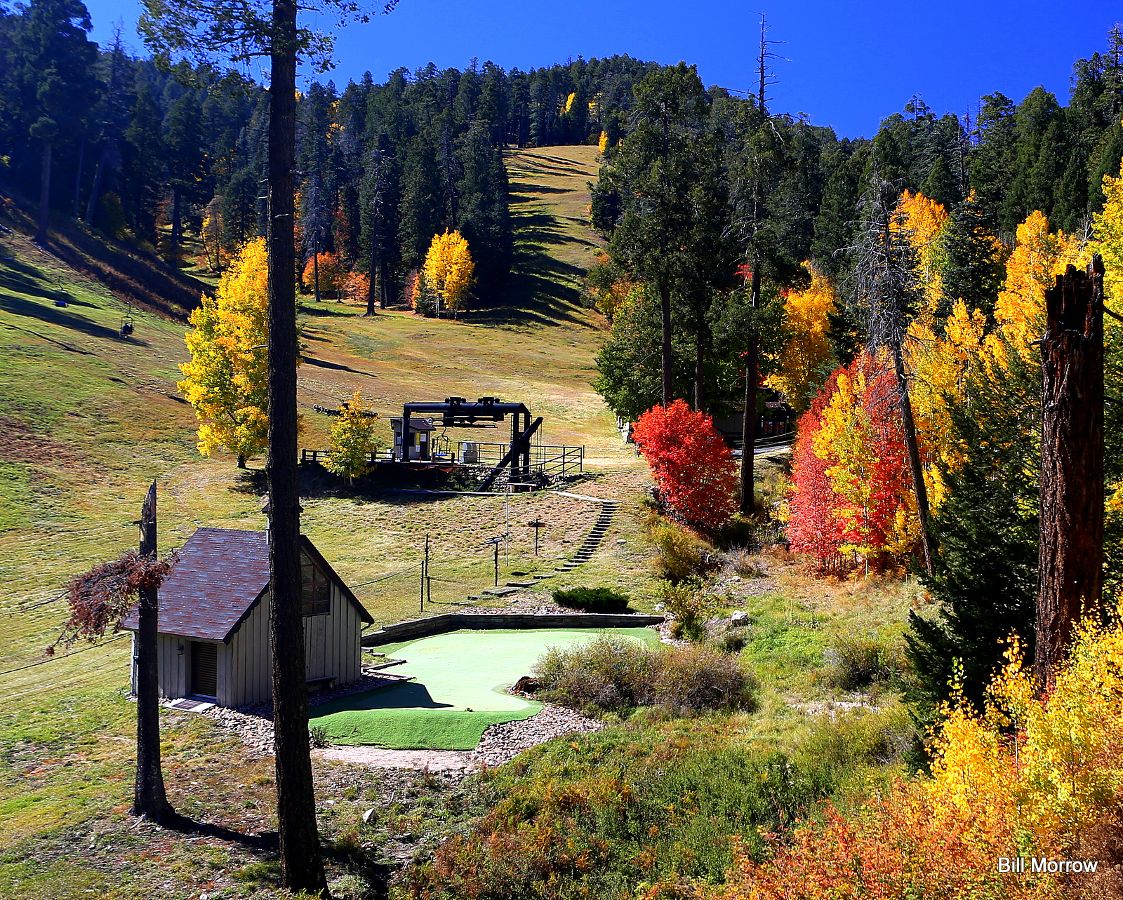 Mount Lemmon Ski ValleyDownhill skiing · Next doorPhoto: Bill Morrow, CC BY 2.0 (via Wikimedia Commons)Quartzite Spring BoulderRock climbing · ~1 min drivePhoto: Jacob Kannel jrkannel, CC0 (via Wikimedia Commons)
 Marshall Gulch Trail #3Hiking · ~2 min drivePhoto: KimonBerlin, CC BY-SA 2.0 (via Flickr)
 AspenMountain biking · ~2 min drivePhoto: Debbie, CC BY 2.0 (via Wikimedia Commons)
