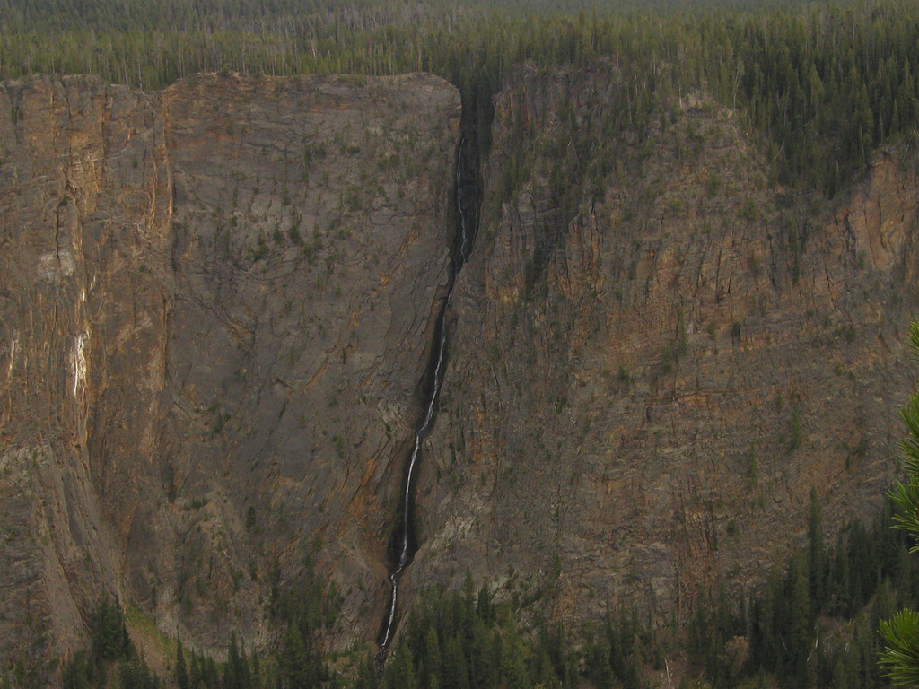
Mount Washburn
 Photo: Eumeldingens, CC BY 3.0 (via Wikimedia Commons)
- 10,250 ft
- summit
- 4
- ways up
- National Park Service
- managed by
Is Mount Washburn open right now?
Closure in the area
There's a closure order in Yellowstone National Park. It doesn't name Mount Washburn, so check the source for the area it covers (2 listed).
Most Park Roads Closed to All Vehicles
Park closure covering Yellowstone National Park · NPS · Yellowstone National Park
Biscuit Basin Closed Due to Hydrothermal Explosion
Park closure covering Yellowstone National Park · NPS · Yellowstone National Park
As of · Source: NPS · Yellowstone National Park. Agencies don't list every closure — check before you go.
Mount Washburn is a summit of 10,250 feet in Yellowstone National Park in Wyoming, managed by the National Park Service. The nearest town is Mammoth, about 18 miles away. Several trails start close by. The Mount Washburn South Trail is about half a mile away, and the Dunraven Pass - Mount Washburn Trail and Dunraven Pass are each about 1.3 miles off. For a longer outing, the Cascade Lake Trail lies about 4 miles away.
Conditions and forecast
Daily highs and lows, wind and the chance of precipitation at the summit and chittenden road trailhead for the next 7 days, from the Open-Meteo model.
- Summit elevation
- 10,250 ft
- Land manager
- National Park Service
Elevation from USGS 3D Elevation Program terrain data (about 10 m resolution).
- Chittenden Road - Mount Washburn TrailHardFrom Chittenden Road Trailhead (about 8,746 ft) · about 1,505 ft of climbing5.7 mi round trip
- Dunraven Pass - Mount Washburn TrailModerateFrom Dunraven Pass Trailhead (about 8,869 ft) · about 1,380 ft of climbing7.0 mi round trip
- Mount Washburn Spur TrailHardFrom Glacial Boulder Trailhead (about 7,901 ft) · about 2,347 ft of climbing16.9 mi round trip
- Mount Washburn South TrailModerateabout 1,939 ft of climbing3.5 mi round trip
Compare the routes Chittenden Road - Mount Washburn Trail Dunraven Pass - Mount Washburn Trail Mount Washburn Spur Trail Mount Washburn South Trail Starts at Chittenden Road Trailhead Dunraven Pass Trailhead Glacial Boulder Trailhead — Climbing About 1,505 ft About 1,380 ft About 2,347 ft About 1,939 ft Round trip 5.7 mi 7.0 mi 16.9 mi 3.5 mi Difficulty Hard Moderate Hard Moderate Terrain Hike Hike Hike Hike Map © Mapbox © OpenStreetMap contributors Questions about Mount Washburn
How tall is Mount Washburn?
10,250 ft (3,124 m).
How many routes go to the summit of Mount Washburn?
4: Chittenden Road - Mount Washburn Trail, Dunraven Pass - Mount Washburn Trail, Mount Washburn Spur Trail and Mount Washburn South Trail.
What is the shortest route up Mount Washburn?
Mount Washburn South Trail, about 3.5 mi round trip.
Where do the routes up Mount Washburn start?
Chittenden Road - Mount Washburn Trail starts at Chittenden Road Trailhead (about 8,746 ft). Dunraven Pass - Mount Washburn Trail starts at Dunraven Pass Trailhead (about 8,869 ft). Mount Washburn Spur Trail starts at Glacial Boulder Trailhead (about 7,901 ft).
- Observation Peak9,402 ft · Wyoming1 route5.8 mi away
- Amethyst Mountain9,620 ft · Wyoming1 route9.1 mi away
- Pelican Cone9,652 ft · Wyoming1 route16 mi away
 Bunsen Peak8,565 ft · Wyoming3 routes16 mi awayPhoto: Mike, Public domain (via Wikimedia Commons)
 Mount Holmes10,339 ft · Wyoming1 route21 mi awayPhoto: J.P. Iddings, Public domain (via Wikimedia Commons)
 Sepulcher Mountain9,652 ft · Wyoming1 route21 mi awayPhoto: Mike Cline, Public domain (via Wikimedia Commons)
 Mount Washburn South TrailHikingPhoto: Greg Willis from Denver, CO, usa, CC BY-SA 2.0 (via Wikimedia Commons)0.6 mi
 Dunraven Pass - Mount Washburn TrailHikingPhoto: Greg Willis from Denver, CO, usa, CC BY-SA 2.0 (via Wikimedia Commons)1.3 mi
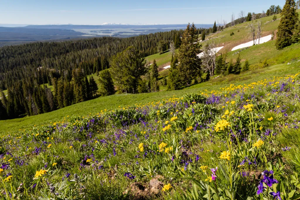 Dunraven PassHikingPhoto: NPS / public domain1.3 mi
- Chittenden Road - Mount Washburn TrailHiking1.9 mi
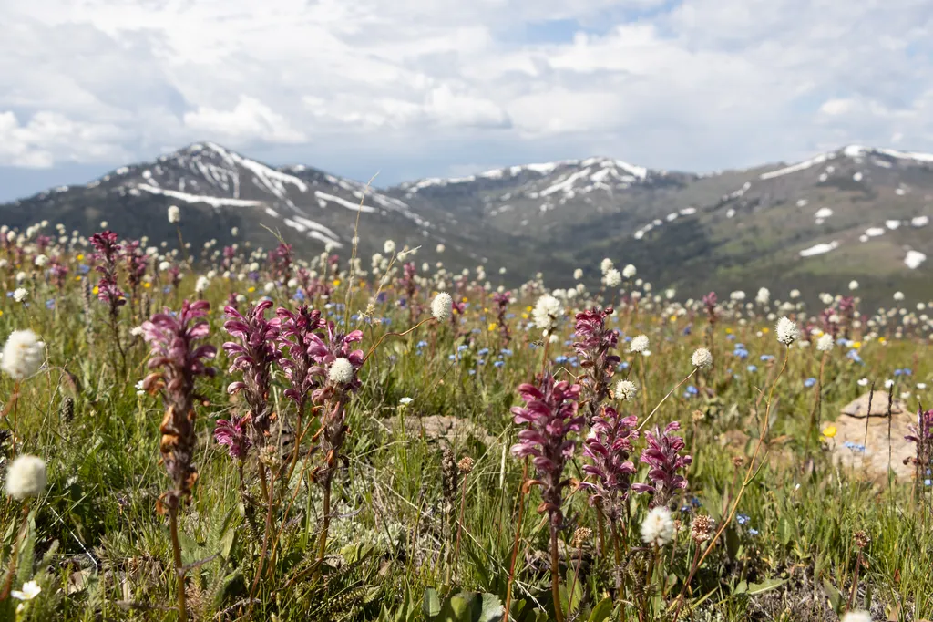 Chittenden RoadHikingPhoto: NPS / public domain1.9 mi
- Cascade Lake TrailHiking4.3 mi
 Glacial BoulderRock climbingPhoto: daveynin, CC BY 2.0 (via Flickr)5.1 mi
- Broad CreekCanoeing7.5 mi
Source: Roamze catalog (indexable pages within 10 miles, PostGIS distance)
 Dunraven PeakSummit · ~3 min drivePhoto: Thomson200, CC0 (via Wikimedia Commons)
 Hedges PeakSummit · ~5 min drivePhoto: Dirtsc, CC BY-SA 3.0 (via Wikimedia Commons)
 Druid PeakSummit · ~25 min drivePhoto: Mike Cline, Public domain (via Wikimedia Commons)
 Soda ButteSummit · ~26 min drivePhoto: HaSt, CC BY-SA 4.0 (via Wikimedia Commons)
- Bunsen PeakSummit · ~28 min drivePhoto: Mike, Public domain (via Wikimedia Commons)
 Mount NorrisSummit · ~30 min drivePhoto: Mike Cline, Public domain (via Wikimedia Commons)
 Terrace MountainSummit · ~31 min drivePhoto: R. G. Johnsson, Public domain (via Wikimedia Commons)
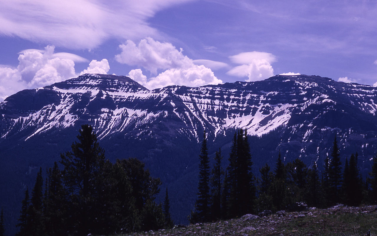 The ThundererSummit · ~34 min drivePhoto: RG Johnsson, Public domain (via Wikimedia Commons)
 Antler PeakSummit · ~36 min drivePhoto: J Schmidt, Public domain (via Wikimedia Commons)
- Mount HolmesSummit · ~36 min drivePhoto: J.P. Iddings, Public domain (via Wikimedia Commons)