Bunsen Peak
 Photo: Mike, Public domain (via Wikimedia Commons)
- 8,565 ft
- summit
- 3
- ways up
- National Park Service
- managed by
- Jul–Sep
- best months
Is Bunsen Peak open right now?
Closure in the area
There's a closure order in Yellowstone National Park. It doesn't name Bunsen Peak, so check the source for the area it covers (2 listed).
Most Park Roads Closed to All Vehicles
Park closure covering Yellowstone National Park · NPS · Yellowstone National Park
Biscuit Basin Closed Due to Hydrothermal Explosion
Park closure covering Yellowstone National Park · NPS · Yellowstone National Park
As of · Source: NPS · Yellowstone National Park. Agencies don't list every closure — check before you go.
Bunsen Peak is a summit of 8,565 feet in Yellowstone National Park in Wyoming, about 3 miles from the town of Mammoth. The National Park Service manages the land, and the peak sits within the park's network of trails and climbing areas. Summer is the most comfortable time to visit. Typical averages from a nearby weather station at Lake Yellowstone, which sits about 670 feet lower, run to highs around 71°F in July and August with lows in the low 40s. That station's July and August highs are close to what you'd expect at the summit, though temperatures there run a little cooler. Winters are cold, with January highs averaging about 23°F. The Bunsen Peak Trail and the Golden Gate hike both lie within about a mile of the summit. The Hoodoos climbing area is about a mile away, and the Gardner River, roughly 2.5 miles off, offers canoeing.
Conditions and forecast
Daily highs and lows, wind and the chance of precipitation at the summit and route start for the next 7 days, from the Open-Meteo model.
- Summit elevation
- 8,565 ft
- Land manager
- National Park Service
Elevation from USGS 3D Elevation Program terrain data (about 10 m resolution).
- Bunsen Peak OverlookModerateabout 1,191 ft of climbing8.0 mi round trip
- Bunsen Peak Trailhead (1K4)ModerateFrom Bunsen Peak Trailhead (about 7,262 ft) · about 1,191 ft of climbing8.0 mi round trip
- Bunsen Peak TrailModerateFrom Bunsen Peak Trailhead (about 7,261 ft) · about 502 ft of climbing8.4 mi round trip
Compare the routes Bunsen Peak Overlook Bunsen Peak Trailhead (1K4) Bunsen Peak Trail Starts at — Bunsen Peak Trailhead Bunsen Peak Trailhead Climbing About 1,191 ft About 1,191 ft About 502 ft Round trip 8.0 mi 8.0 mi 8.4 mi Difficulty Moderate Moderate Moderate Terrain Hike Hike Hike Season — Summer, fall — Map © Mapbox © OpenStreetMap contributors Questions about Bunsen Peak
How tall is Bunsen Peak?
8,565 ft (2,611 m).
How many routes go to the summit of Bunsen Peak?
3: Bunsen Peak Overlook, Bunsen Peak Trailhead (1K4) and Bunsen Peak Trail.
What is the shortest route up Bunsen Peak?
Bunsen Peak Overlook, about 8.0 mi round trip.
Where do the routes up Bunsen Peak start?
Bunsen Peak Trailhead (1K4) starts at Bunsen Peak Trailhead (about 7,262 ft). Bunsen Peak Trail starts at Bunsen Peak Trailhead (about 7,261 ft).
When is the best time to climb Bunsen Peak?
Summer, fall.
 Sepulcher Mountain9,652 ft · Wyoming1 route5.0 mi awayPhoto: Mike Cline, Public domain (via Wikimedia Commons)
 Mount Holmes10,339 ft · Wyoming1 route11 mi awayPhoto: J.P. Iddings, Public domain (via Wikimedia Commons)
- Observation Peak9,402 ft · Wyoming1 route13 mi away
 Mount Washburn10,250 ft · Wyoming4 routes16 mi awayPhoto: Eumeldingens, CC BY 3.0 (via Wikimedia Commons)
- Sheep Mountain10,095 ft · Montana1 route18 mi away
- Big Horn Peak9,896 ft · Montana2 routes20 mi away
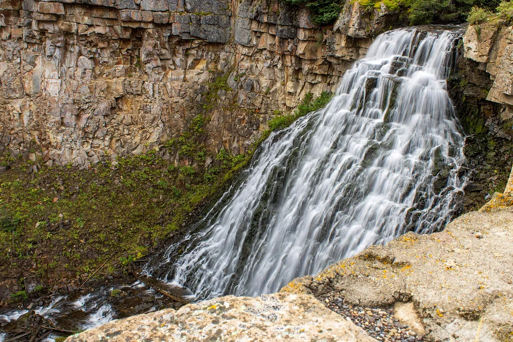 Golden GateHikingPhoto: USGS Communications and Publishing — Wikimedia Commons (Public domain)0.9 mi
 The HoodoosRock climbingPhoto: Ken Lund, CC BY-SA 2.0 (via Flickr)1 mi
 Bunsen Peak TrailHikingPhoto: cchadek, CC BY 3.0 (via Wikimedia Commons)1 mi
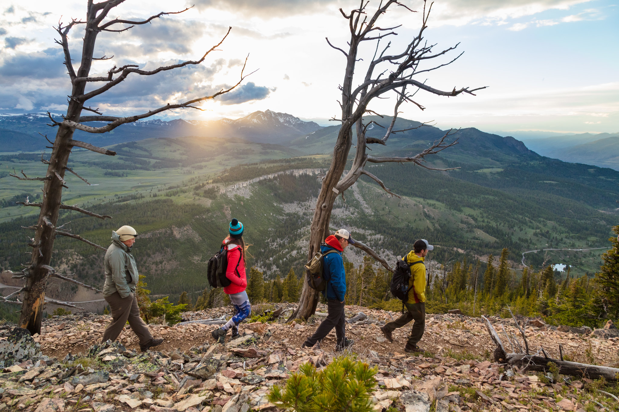 Bunsen Peak Trailhead (1K4)HikingPhoto: USGS Communications and Publishing — Wikimedia Commons (Public domain)1.1 mi
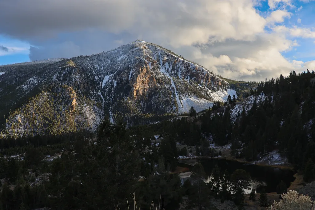 Bunsen Peak OverlookHikingPhoto: NPS / public domain1.4 mi
 Gardner RiverCanoeingPhoto: Jo Suderman, Public domain (via Wikimedia Commons)2.5 mi
- Gardiner DistrictLake fishing7.2 mi
- Eagle CreekCamping7.8 mi
Source: Roamze catalog (indexable pages within 10 miles, PostGIS distance)
 Terrace MountainSummit · ~4 min drivePhoto: R. G. Johnsson, Public domain (via Wikimedia Commons)
- Sepulcher MountainSummit · ~9 min drivePhoto: Mike Cline, Public domain (via Wikimedia Commons)
 Antler PeakSummit · ~14 min drivePhoto: J Schmidt, Public domain (via Wikimedia Commons)
 Electric PeakSummit · ~14 min drivePhoto: Yellowstone National Park from Yellowstone NP, USA, Public domain (via Wikimedia Commons)
 Gray PeakSummit · ~15 min drivePhoto: Bryan Harry, Public domain (via Wikimedia Commons)
- Mount HolmesSummit · ~18 min drivePhoto: J.P. Iddings, Public domain (via Wikimedia Commons)
 Echo PeakSummit · ~18 min drivePhoto: J. P. Iddings, Public domain (via Wikimedia Commons)
 White PeaksSummit · ~20 min drivePhoto: Mike Cline, Public domain (via Wikimedia Commons)
 Hedges PeakSummit · ~26 min drivePhoto: Dirtsc, CC BY-SA 3.0 (via Wikimedia Commons)
 Dunraven PeakSummit · ~27 min drivePhoto: Thomson200, CC0 (via Wikimedia Commons)
Also worth it near here
Best time to visit Bunsen Peak
Best months: July–September. Best months have typical highs of 55–85 °F, lows of 30 °F or warmer (32 °F where the station doesn't record snow), at most one snowy day and no more than 12 wet days.
Jan
23° / 3°
17 wet
Feb
27° / 3°
15 wet
Mar
35° / 11°
14 wet
Apr
42° / 19°
12 wet
May
50° / 29°
12 wet
Jun
61° / 36°
13 wet
Jul
71° / 43°
10 wet
Aug
71° / 42°
10 wet
Sep
61° / 34°
10 wet
Oct
46° / 25°
9 wet
Nov
33° / 15°
12 wet
Dec
24° / 7°
16 wet
Typical high / low (°F) and days with rain or snow, 1991–2020. Measured at Lake Yellowstone, WY, 29.7 mi away at 7,892 ft. The station sits about 700 ft lower than this place, so expect it a little cooler here. This station doesn't record snowfall. Source: NOAA NCEI U.S. Climate Normals 1991–2020.

