Loading…

Free — you'll pick up right here.
Watch this trail
Sign up to watch it — saving subscribes you to gate, closure and report changes.
Wyoming
7.0 mi
Distance
1,380 ft
Gain
3h 1m
Time
We won't guess. Here is exactly what we do and don't know.
What we do know
Inside Yellowstone National Park
National Park unit boundary is mapped — agency alerts for it feed this page automatically.
Boundary data
What's missing
No access route mapped
We don't yet know which road reaches this trailhead, so we can't tell you if it's gated.
Nobody's filed a report here yet — be the first.
Why you'll love it
Dunraven Pass - Mount Washburn Trail
AI-suggested draft · review before you go
No permit or access details on file for this trail — check with the local land manager before you go.
The Mount Washburn Trail via Dunraven Pass is a 3.5-mile out-and-back route located in Wyoming. This trail offers hikers a moderate outing through scenic terrain typical of the region. The out-and-back format means you'll retrace your path on the return journey, making it straightforward to navigate. The trail provides access to views and landscapes characteristic of Wyoming's natural environment. Mount Washburn itself is a notable destination for hikers seeking elevated vistas and cooler temperatures as you gain altitude throughout your hike. This route is suitable for hikers looking for a shorter day hike experience without requiring a full loop or shuttle arrangement. The relatively modest mileage makes it accessible for a range of fitness levels, though the specifics of terrain difficulty may vary based on weather conditions and seasonal changes. The Dunraven Pass area offers a good introduction to hiking in Wyoming's mountain regions. Plan for adequate water and sun protection, and check current conditions before heading out, as weather in mountain areas can change rapidly.
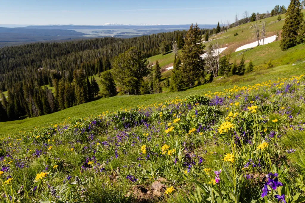
Dunraven Pass
~0 min drive
<p>Look for abundant wildflowers in high-elevation wetlands near the road in this area.</p> <p>The volcanic rocks that underlie the Absaroka Mountains are rich in calcium, magnesium, and iron. These minerals weather into soils that can store more water and provide better nutri…

Chittenden Road - Mount Washburn Trail
~5 min drive
5.7 mi · Easy

Observation Peak Trail
~5 min drive
9.4 mi · Moderate

Mount Washburn Spur Trail
~7 min drive
17 mi · Hard
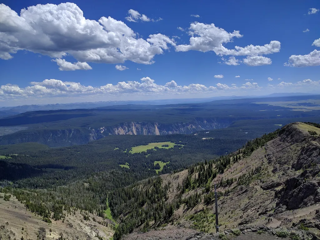
Mount Washburn
~2 min drive
<p>Mount Washburn is one of the most popular day hiking destinations in Yellowstone. Its peak elevation is 10,219 feet (3,115 m) and panoramic views for about 20 to 50 miles (32 to 80 km). At the top, check out interpretive exhibits inside the base of a fire lookout and enjoy…
Casecade Lake Trail
~5 min drive
4.3 mi · Easy
Seven Mile Hole Trail
~7 min drive
9.9 mi · Moderate

Howard Eaton Trail
~17 min drive
22 mi · Hard
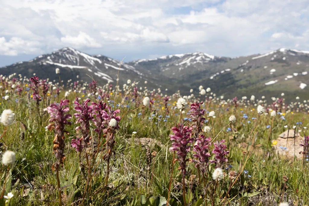
Chittenden Road
~5 min drive
<p>The road to Mount Washburn (now called Chittenden Road) was one of Engineer Hiram Chittenden’s achievements.</p> <p>Chittenden had a lasting effect on the appearance of our national parks through his role in designing Yellowstone’s roads, bridges, and other structures. The…
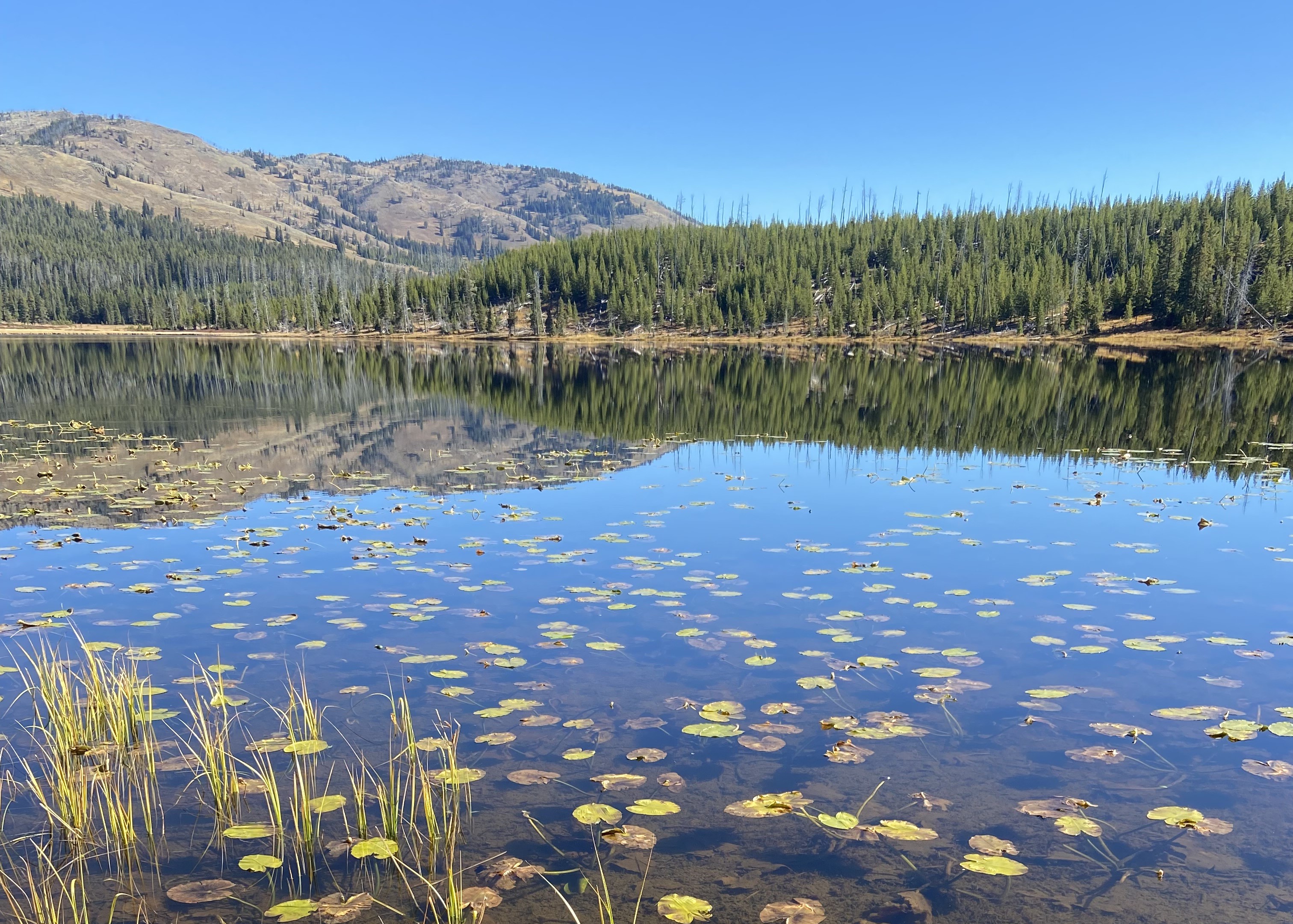
Cascade Lake Trailhead (4K5)
~5 min drive
From this trailhead you can embark on the following trails: Cascade Lake Trail Observation Peak Trail There is a dedicated parking lot at this trailhead. The nearest restrooms are location to the east at the Cascade Lake Picnic Area. Cascade Lake Trail A moderate 4.4-mile…