Free — you'll pick up right here.
Watch this trail
Sign up to watch it — saving subscribes you to gate, closure and report changes.
Wyoming
Mount Washburn South Trail
3.5 mi
Distance
1,939 ft
Gain
2h 8m
Time
Conditions: Clear
for hike, todayWeather is good
1 factor · 1 source
Observed 5 h ago
clear: Weather
Clear, high 66°F / low 26°F, 0% precip — 99/100 for hike
OpenWeather5 h ago
Been out here in the last few days? One report keeps this current for everyone.
Why you'll love it
Here's your day, mapped
Mount Washburn South Trail
AI-suggested draft · review before you go
Meals
Gear for the day
Elevation & route
- Distance
- 3.5 mi
- Elevation gain
- 1,939 ft
- Elevation loss
- 1,939 ft
- Highest point
- 10,250 ft
- Lowest point
- 8,870 ft
Photos
Directions & GPX
Permits & access
- Managing agency
- National Park Service
About this trail
The Mount Washburn South Trail is an out-and-back route offering direct access to one of Wyoming's most prominent peaks. This trail climbs steadily through subalpine forest and open ridgeline terrain, rewarding hikers with expansive 360-degree views from the summit that stretch across the Absaroka Range and surrounding wilderness.
Add to a trip & share
Keep exploring — more trails worth the drive
Mount Washburn
~1 min drive
Mount Washburn is one of the most popular day hiking destinations in Yellowstone. Its peak elevation is 10,219 feet (3,115 m) and panoramic views for about 20 to 50 miles (32 to 80 km). At the top, check out interpretive exhibits inside the base of a fire lookout and enjoy…
 Photo: Greg Willis from Denver, CO, usa, CC BY-SA 2.0 (via Wikimedia Commons)
Dunraven Pass - Mount Washburn Trail
~1 min drive
7.00-mile out-and-back trail in Wyoming with 1,380 ft gain.
Cascade Lake Trailhead (4K5)
~7 min drive
From this trailhead you can embark on the following trails: Cascade Lake Trail Observation Peak Trail There is a dedicated parking lot at this trailhead. The nearest restrooms are location to the east at the Cascade Lake Picnic Area. Cascade Lake Trail A moderate 4.4-mile…
 Photo: Don Graham from Redlands, CA, USA - God bless it!, CC BY-SA 2.0 (via Wikimedia Commons)
Mount Washburn Spur Trail
~8 min drive
16.89-mile out-and-back trail with 2,347 ft gain on Mount Washburn Spur Trail in Wyoming.
 Photo: cchadek, CC BY 3.0 (via Wikimedia Commons)
Wapiti Lake Trail
~10 min drive
Scenic 16.32-mile out-and-back to alpine Wapiti Lake in Wyoming.
Dunraven Pass
~2 min drive
Look for abundant wildflowers in high-elevation wetlands near the road in this area. The volcanic rocks that underlie the Absaroka Mountains are rich in calcium, magnesium, and iron. These minerals weather into soils that can store more water and provide better nutrients…
Photo: Don Graham from Redlands, CA, USA - God bless it!, CC BY-SA 2.0 (via Wikimedia Commons)Seven Mile Hole Trail
~8 min drive
9.94-mile out-and-back trail in Wyoming with 256 ft elevation gain.
 Photo: timlitw, CC BY-SA 3.0 (via Wikimedia Commons)
Canyon Rim Trail
~8 min drive
Short out-and-back rim walk with canyon views in Wyoming.
 Photo: R. Sieben, CC BY 3.0 (via Wikimedia Commons)
Howard Eaton Trail: Fishing Bridge-Canyon
~11 min drive
Moderate out-and-back hike from Fishing Bridge to Canyon through thermal landscapes.
Chittenden Road
~4 min drive
The road to Mount Washburn (now called Chittenden Road) was one of Engineer Hiram Chittenden’s achievements. Chittenden had a lasting effect on the appearance of our national parks through his role in designing Yellowstone’s roads, bridges, and other structures. The…
Also worth it near here
 Photo: Eumeldingens, CC BY 3.0 (via Wikimedia Commons)
Mount Washburn
~1 min drive
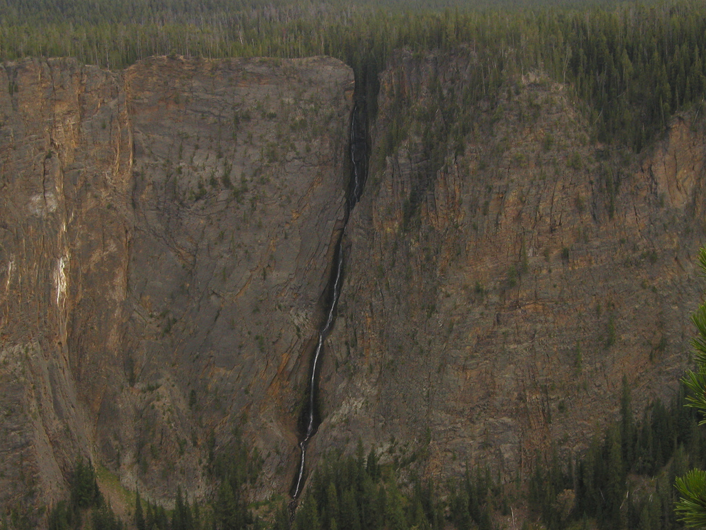 Photo: Alex1961, CC BY-SA 2.0 (via Wikimedia Commons)
Silver Cord Cascade
~8 min drive
 Photo: daveynin, CC BY 2.0 (via Flickr)
Glacial Boulder
~8 min drive
Ribbon Lake
~8 min drive
 Photo: Yellowstone National Park from Yellowstone NP, USA, Public domain (via Wikimedia Commons)
Slough Creek Campground
~22 min drive
