Loading…

Dunraven Pass
Free — you'll pick up right here.
Watch this trail
Sign up to watch it — saving subscribes you to gate, closure and report changes.
Wyoming
We won't guess. Here is exactly what we do and don't know.
What we do know
Inside Yellowstone National Park
National Park unit boundary is mapped — agency alerts for it feed this page automatically.
Boundary data
What's missing
No access route mapped
We don't yet know which road reaches this trailhead, so we can't tell you if it's gated.
Nobody's filed a report here yet — be the first.
Dunraven Pass
AI-suggested draft · review before you go
No elevation data on file for this trail.
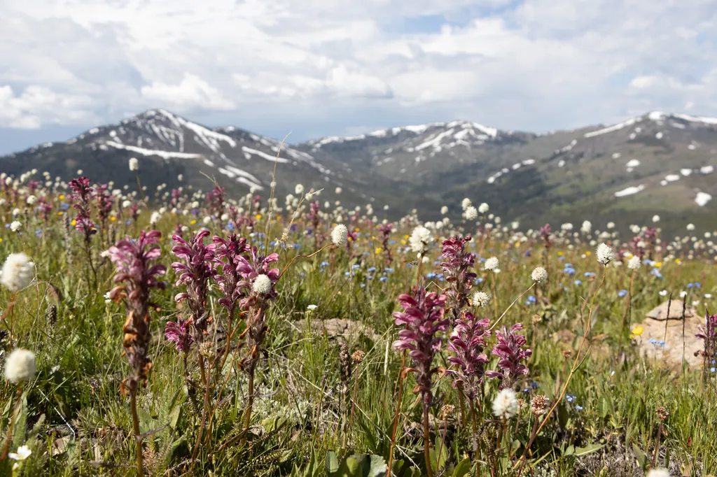
Look for abundant wildflowers in high-elevation wetlands near the road in this area. The volcanic rocks that underlie the Absaroka Mountains are rich in calcium, magnesium, and iron. These minerals weather into soils that can store more water and provide better nutrients than another volcanic rock in Yellowstone (rhyolite). The soil supports more vegetation, which adds organic matter and enriches the soil. You can see the result when you drive over Dunraven Pass or through other areas of the park with Absaroka rocks. They have more diverse plants, including mixed forests interspersed with meadows. Remember that many of Yellowstone’s wildflowers are also very important parts of animal diets. The seeds of most wildflowers are used by birds and insects. Even the petals of many flowers are eaten by animals. Bees and other insects collect nectar and pollen. Bighorn Sheep Bighorn sheep are often seen along the slopes of Mount Washburn near Dunraven Pass. All bighorn sheep have horns. The rings on horns can be used to determine age, though it is easier to count the rings on a ram. Ram skulls have two layers of bone above the brain that work as a shock absorber. This is an adaptation for the collision of head-on fighting that is used to establish dominance between rams of equal horn size, especially during mating. Animals are Dangerous Do not approach or feed any animal. Bison and elk have injured people. Stay 100 yards (91 m) from bears and wolves. Stay 25 yards (23 m) from all other animals. You are responsible for your safety. Think Safety, Act Safely. Yellowstone is a Dangerous Place. Accessibility Use caution in the large pullouts; assistance may be required.

Dunraven Pass - Mount Washburn Trail
~0 min drive
7.0 mi · Moderate
Mount Washburn
~2 min drive
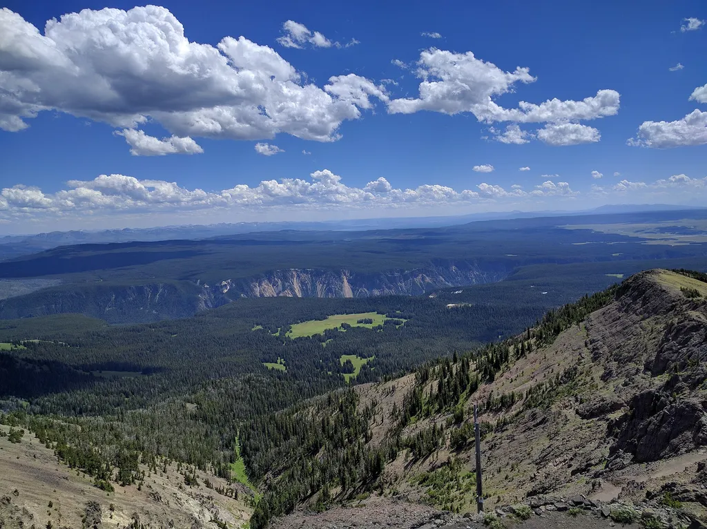
<p>Mount Washburn is one of the most popular day hiking destinations in Yellowstone. Its peak elevation is 10,219 feet (3,115 m) and panoramic views for about 20 to 50 miles (32 to 80 km). At the top, check out interpretive exhibits inside the base of a fire lookout and enjoy…

Chittenden Road - Mount Washburn Trail
~5 min drive
5.7 mi · Easy

Mount Washburn Spur Trail
~7 min drive
17 mi · Hard

Observation Peak Trail
~5 min drive
9.4 mi · Moderate
Chittenden Road
~5 min drive
<p>The road to Mount Washburn (now called Chittenden Road) was one of Engineer Hiram Chittenden’s achievements.</p> <p>Chittenden had a lasting effect on the appearance of our national parks through his role in designing Yellowstone’s roads, bridges, and other structures. The…
Casecade Lake Trail
~5 min drive
4.3 mi · Easy

Howard Eaton Trail
~17 min drive
22 mi · Hard
Seven Mile Hole Trail
~7 min drive
9.9 mi · Moderate
Chittenden Junction Vault Toilet
~6 min drive
A worthwhile stop near Wyoming.