Chittenden Road - Mount Washburn Trail
- 5.7 mi
- round trip
- 1,505 ft
- climb
- 10,249 ft
- high point
- Out and back
- route
Is Chittenden Road - Mount Washburn Trail open right now?
Closure in the area
There's a closure order in Yellowstone National Park. It doesn't name Chittenden Road - Mount Washburn Trail, so check the source for the area it covers (2 listed).
Most Park Roads Closed to All Vehicles
Park closure covering Yellowstone National Park · NPS · Yellowstone National Park
Biscuit Basin Closed Due to Hydrothermal Explosion
Park closure covering Yellowstone National Park · NPS · Yellowstone National Park
As of · Source: NPS · Yellowstone National Park. Agencies don't list every closure — check before you go.
Chittenden Road - Mount Washburn Trail is a hard hike in Yellowstone National Park in Wyoming, starting at the Chittenden Road Trailhead and offering the shortest route to the top of Mount Washburn. The trail is an out-and-back, about 5.7 miles long, with a one-way elevation gain of 1,505 feet from a low point of about 8,746 feet to a high of about 10,249 feet. The route follows a wide trail along Chittenden Road, which offers a steady gradual incline. The National Park Service manages the land, and the trail is open to both hikers and bikes. A fee is charged for the visit. The trip is a good one for seeing bighorn sheep and wildflowers. Stay on the trail rather than taking shortcuts. Chittenden Road, the Mount Washburn trail and the Mount Washburn South Trail all lie within a few miles, and Dunraven Pass is about 2.8 miles away.
Conditions and forecast on Mount Washburn
Daily highs and lows, wind and the chance of precipitation at the summit and route start for the next 7 days, from the Open-Meteo model.
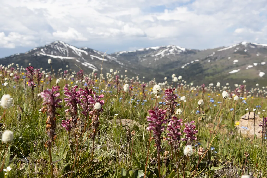 Chittenden RoadHikingPhoto: NPS / public domain0.1 mi
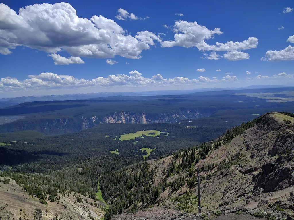 Mount WashburnHikingPhoto: Viplav Valluri — Wikimedia Commons (CC BY-SA 4.0)1.9 mi
 Mount Washburn South TrailHikingPhoto: Greg Willis from Denver, CO, usa, CC BY-SA 2.0 (via Wikimedia Commons)2.4 mi
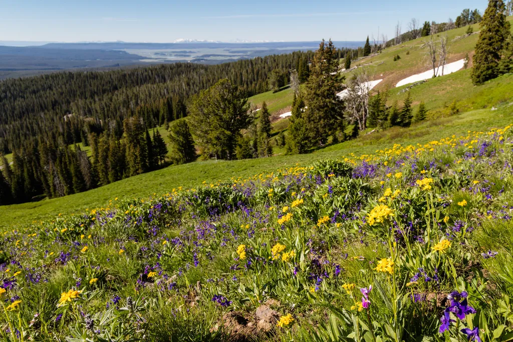 Dunraven PassHikingPhoto: NPS / public domain2.8 mi
 Dunraven Pass - Mount Washburn TrailHikingPhoto: Greg Willis from Denver, CO, usa, CC BY-SA 2.0 (via Wikimedia Commons)2.8 mi
- Agate Creek TrailHiking4.6 mi
 Glacial BoulderRock climbingPhoto: daveynin, CC BY 2.0 (via Flickr)6.7 mi
- Broad CreekCanoeing9.1 mi
Source: Roamze catalog (indexable pages within 10 miles, PostGIS distance)
- Mount WashburnHiking · ~3 min drive
- Mount Washburn South TrailHiking · ~4 min drivePhoto: Greg Willis from Denver, CO, usa, CC BY-SA 2.0 (via Wikimedia Commons)
 Roosevelt Lodge-Tower Falls TrailHiking · ~9 min drivePhoto: Greg Willis from Denver, CO, usa, CC BY-SA 2.0 (via Wikimedia Commons)
 Mount Washburn Spur TrailHiking · ~11 min drivePhoto: Don Graham from Redlands, CA, USA - God bless it!, CC BY-SA 2.0 (via Wikimedia Commons)
 Bear Aware (Canyon)Hiking · ~11 min drivePhoto: timlitw, CC BY-SA 3.0 (via Wikimedia Commons)
- Dunraven Pass - Mount Washburn TrailHiking · ~5 min drivePhoto: Greg Willis from Denver, CO, usa, CC BY-SA 2.0 (via Wikimedia Commons)
 Campground Loop TrailHiking · ~9 min drivePhoto: cchadek, CC BY 3.0 (via Wikimedia Commons)
- Lamar Valley - Evidence of GlaciersHiking · ~11 min drive
- Tower Creek TrailHiking · ~9 min drivePhoto: cchadek, CC BY 3.0 (via Wikimedia Commons)
- Tower Falls TrailHiking · ~9 min drivePhoto: Greg Willis from Denver, CO, usa, CC BY-SA 2.0 (via Wikimedia Commons)
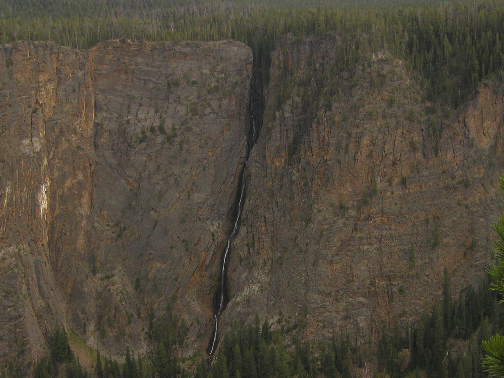
Route details
- Distance
- 5.7 mi round trip
- Climbing
- About 1,505 ft
- Starts at
- Chittenden Road Trailhead (about 8,746 ft)
- Summit
- 10,250 ft
- Difficulty
- Hard
- Time
- About 2.5 hours
Other routes up Mount Washburn
Questions about this route
How long is the Chittenden Road - Mount Washburn Trail on Mount Washburn?
About 5.7 mi round trip from Chittenden Road Trailhead (about 8,746 ft).
How much elevation gain is on the Chittenden Road - Mount Washburn Trail?
About 1,505 ft of climbing round trip.
How hard is the Chittenden Road - Mount Washburn Trail?
It is rated hard.
Where does the Chittenden Road - Mount Washburn Trail start?
Chittenden Road Trailhead (about 8,746 ft).
How long does the Chittenden Road - Mount Washburn Trail take?
About 2.5 hours round trip.
How many routes go up Mount Washburn?
4: Chittenden Road - Mount Washburn Trail, Dunraven Pass - Mount Washburn Trail, Mount Washburn Spur Trail and Mount Washburn South Trail.
Map and trail data © OpenStreetMap contributors
