Raid Peak
 Photo: Philthy54 (talk · contribs), CC BY 3.0 (via Wikimedia Commons)
- 12,532 ft
- summit
- Forest Service
- managed by
Is Raid Peak open right now?
No closures listed
The Forest Service lists no closures for Bridger-Teton National Forest.
As of · Source: USFS · Bridger-Teton National Forest. Agencies don't list every closure — check before you go.
Raid Peak is a summit of about 12,532 feet in Sublette County, Wyoming, inside the Bridger Wilderness. The peak lies within the Pinedale Ranger District of the Bridger-Teton National Forest, which the Forest Service manages. The nearest town is Boulder, about 20 miles away. Several climbing areas sit close by, including Ambush Peak about 1.4 miles away and East Fork Valley about 1.5 miles away. The Rainbow Lake Trail and Crossover Trail are both about 3 miles off for hikers.
Conditions and forecast
Daily highs and lows, wind and the chance of precipitation at the summit for the next 7 days, from the Open-Meteo model.
- Summit elevation
- 12,532 ft
- Land manager
- Forest Service
Elevation from USGS 3D Elevation Program terrain data (about 10 m resolution).
We don't know of a mapped trail or route to the summit of Raid Peak. Plan the approach with local maps, a guidebook or a local guide, and check conditions before you go.
Questions about Raid Peak
How tall is Raid Peak?
12,532 ft (3,820 m).
Is there a trail to the top of Raid Peak?
We don't know of a mapped trail or route to the summit. Plan the approach with local maps, a guidebook or a local guide.
- Wind River Peak13,194 ft · Wyoming1 route15 mi away
- Photographers Point10,406 ft · Wyoming1 route21 mi away
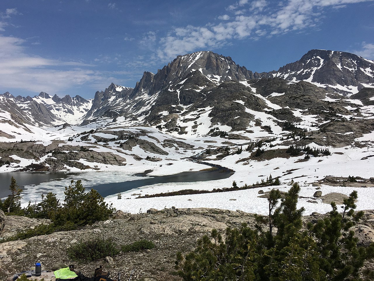 Jackson Peak13,517 ft · Wyoming1 route22 mi awayPhoto: Fredlyfish4, CC BY-SA 4.0 (via Wikimedia Commons)
- Fremont Peak13,733 ft · Wyoming1 route23 mi awayPhoto: Fredlyfish4, CC BY-SA 4.0 (via Wikimedia Commons)
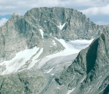 Gannett Peak13,800 ft · Wyoming2 routes27 mi awayPhoto: U.S. Forest Service, Public domain (via Wikimedia Commons)
- Prospect Peak9,656 ft · Wyoming1 route59 mi away
- Ambush PeakRock climbing1.4 mi
- East Fork ValleyRock climbing1.5 mi
- Baptiste LakeRock climbing1.8 mi
- Mount HookerRock climbing1.8 mi
- Rainbow Lake TrailHiking3 mi
- Crossover TrailHiking3 mi
- Silver LakeHiking3 mi
- South Fork Little Wind RiverCanoeing9.4 mi
Source: Roamze catalog (indexable pages within 10 miles, PostGIS distance)
- Mount BonnevilleSummit · ~1 min drivePhoto: Philthy54 (talk · contribs), CC BY 3.0 (via Wikimedia Commons)
 Wolfs HeadSummit · ~13 min drivePhoto: Doc Searls from Santa Barbara, USA, CC BY-SA 2.0 (via Wikimedia Commons)
 Cathedral PeakSummit · ~15 min drivePhoto: Kylir Horton from Eagle Mountain, Utah, United States, CC BY 2.0 (via Wikimedia Commons)
 Lizard Head PeakSummit · ~15 min drivePhoto: summitcheese, CC BY-SA 2.0 (via Wikimedia Commons)
- War Bonnet PeakSummit · ~16 min drivePhoto: Doc Searls from Santa Barbara, USA, CC BY-SA 2.0 (via Wikimedia Commons)
- Jackson PeakSummit · ~38 min drivePhoto: Fredlyfish4, CC BY-SA 4.0 (via Wikimedia Commons)
- Fremont PeakSummit · ~39 min drivePhoto: Fredlyfish4, CC BY-SA 4.0 (via Wikimedia Commons)
 Mount SacagaweaSummit · ~41 min drivePhoto: Tim Holland, CC BY-SA 3.0 (via Wikimedia Commons)
 Atlantic PeakSummit · ~42 min drivePhoto: Michelle Buzalsky, US Forest Service, Public domain (via Wikimedia Commons)
- Gannett PeakSummit · ~47 min drivePhoto: U.S. Forest Service, Public domain (via Wikimedia Commons)

