Loading…

Free — you'll pick up right here.
Watch this trail
Sign up to watch it — saving subscribes you to gate, closure and report changes.
Wyoming
7.5 mi
Distance
2,047 ft
Gain
3h 31m
Time
We won't guess. Here is exactly what we do and don't know.
What we do know
Inside Bighorn National Forest
3 managing-area boundaries mapped — agency alerts for them feed this page automatically.
Boundary data
What's missing
No access route mapped
We don't yet know which road reaches this trailhead, so we can't tell you if it's gated.
Nobody's filed a report here yet — be the first.
Why you'll love it
Angeline
AI-suggested draft · review before you go
No permit or access details on file for this trail — check with the local land manager before you go.
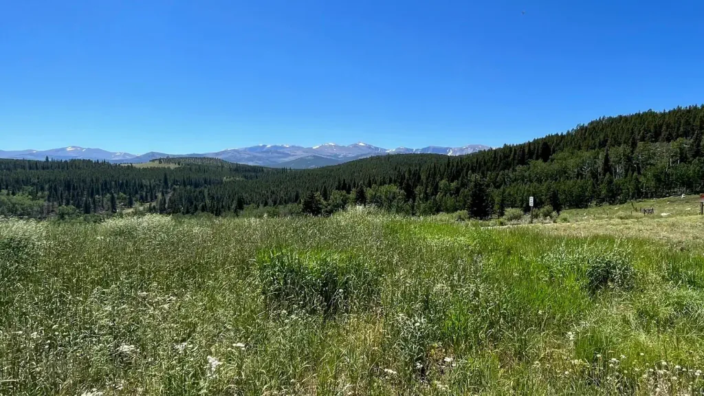
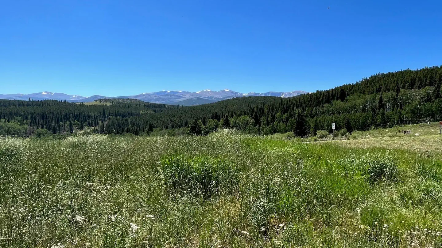
The Angeline Trail is an 8.4-mile out-and-back route located in Wyoming. This trail offers hikers a straightforward journey into the region's natural landscape, with the option to turn around at any point along the path. As an out-and-back trail, the Angeline provides flexibility for hikers of varying fitness levels. Those seeking a shorter outing can explore a portion of the route before returning, while more experienced hikers can complete the full 8.4-mile round trip. The consistent terrain of an out-and-back format eliminates the need to arrange shuttle transportation. The trail's location in Wyoming makes it accessible to outdoor enthusiasts exploring the state's diverse hiking opportunities. The specific elevation gain information is not currently available, so hikers should research local conditions or contact regional trail management for detailed topographic information before visiting. This trail is suitable for day hikes and provides an accessible option for those looking to experience Wyoming's backcountry without committing to a longer or more technical route.
Oliver Creek
~3 min drive
5.5 mi · Easy
Seven Brothers
~3 min drive
11 mi · Moderate
Ditch
~4 min drive
2.3 mi · Hard
Trail Park
~5 min drive
1.5 mi · Easy
Soldier Park
~5 min drive
3.0 mi · Moderate
Sherd Lake Loop
~4 min drive
16 mi · Hard
Willow Lake
~5 min drive
1.9 mi · Easy
Elk Lake
~6 min drive
8.7 mi · Moderate
French Mesa
~8 min drive
2.2 mi · Hard
Trigger Lake
~6 min drive
0.4 mi · Easy