Sherd Lake Loop
- 15.6 mi
- round trip
- 1,175 ft
- climb
- 9,401 ft
- high point
- Out and back
- route
Is Sherd Lake Loop open right now?
Alert in the area
The Forest Service lists an alert for Powder River Ranger District.
Foot Creek Fire Road Closures
Agency alert covering Powder River Ranger District · Order 02-02-01-26-08 · USFS · Powder River Ranger District
As of · Source: USFS · Powder River Ranger District. Agencies don't list every closure — check before you go.
Sherd Lake Loop is a 15.6-mile out-and-back hike in Wyoming's Cloud Peak Wilderness, part of the Powder River Ranger District of Bighorn National Forest. The trail climbs from a low point of 8,169 feet to a high of 9,401 feet, with an elevation gain of 1,175 feet, and it is rated hard. The Forest Service manages the land, and the trail is open year-round. The route is a natural-surface trail, and horses are allowed. The parking area is named Circle Park, about 0.6 miles from the trail. Circle Park Campground sits right next to it, and Long Lake and Oliver Creek are both within about a mile and a half. Nearby, South Clear Creek offers canoeing about 1.7 miles away, and Highway 16 granite, a climbing area, is roughly 6.9 miles off.
- Circle Park CampgroundCamping0.6 mi
- Long LakeHiking0.9 mi
- Oliver CreekHiking1.3 mi
- South Clear CreekCanoeing1.7 mi
- South Fork CampgroundCamping2.3 mi
- Highway 16 graniteRock climbing6.9 mi
- Lost Twin LakesRock climbing7 mi
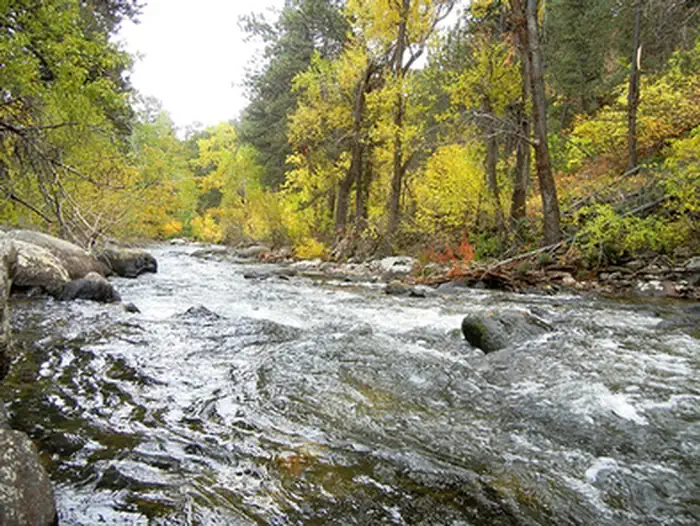 Mosier GulchRiver fishing9.8 mi
Source: Roamze catalog (indexable pages within 10 miles, PostGIS distance)
- Long LakeHiking · ~2 min drive
- South Fork PondsHiking · ~3 min drive
- AngelineHiking · ~4 min drive
- Oliver CreekHiking · ~2 min drive
- Camp RobertsHiking · ~6 min drive
- DitchHiking · ~8 min drive
- Willow LakeHiking · ~4 min drive
- Seven BrothersHiking · ~7 min drive
- Bear GulchHiking · ~11 min drive
- Hanson SawmillHiking · ~4 min drive

