Loading…

Grand Canyon of the Yellowstone - Lookout Point
Free — you'll pick up right here.
Watch this trail
Sign up to watch it — saving subscribes you to gate, closure and report changes.
Wyoming
We won't guess. Here is exactly what we do and don't know.
What we do know
Inside Yellowstone National Park
National Park unit boundary is mapped — agency alerts for it feed this page automatically.
Boundary data
What's missing
No access route mapped
We don't yet know which road reaches this trailhead, so we can't tell you if it's gated.
Nobody's filed a report here yet — be the first.
Grand Canyon of the Yellowstone - Lookout Point
AI-suggested draft · review before you go
No elevation data on file for this trail.
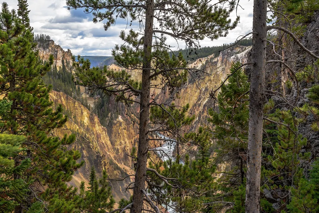
Scientists think the oldest Grand Canyon of the Yellowstone formed in rock and sediments about 160,000 to 140,000 years ago. This canyon was not as deep, wide, or long as today’s canyon. Past and current hydrothermal activity altered and weakened the rhyolite, making the rocks softer. The Yellowstone River eroded these weakened rocks to deepen and widen the canyon, a process that continues today. The current canyon begins at the Lower Falls and ends at Tower Fall. North Rim Trail Trails and walkways wind along the rims and into the canyon. A trail guide with map and information is available. The Role of Erosion The Lower Falls may have formed because the river flows over volcanic rock more resistant to erosion than the downstream rocks, which are hydrothermally altered. The Upper Falls flows over similar rocks. The large rocks upstream from the Upper Falls are remnants of a lava flow resistant to erosion. Puffs of steam mark hydrothermal features in the canyon’s walls. Their activity, along with water, wind, and earthquakes, continue to sculpt the canyon. Scientists continue to develop theories about the formation of the Grand Canyon of the Yellowstone. Colors The colors are caused by oxidation of iron compounds in the rhyolite rock, which has been hydrothermally altered ("cooked"). The colors indicate the presence or absence of water in the individual iron compounds and hydration of minerals in the rock. Most of the yellows in the canyon result from iron and sulfur in the rock. Dark orange, brown, and green areas near the river are still active hydrothermal features. Think Safety, Act Safely From burning hot hydrothermal features, to unpredictable wildlife, to steep terrain, Yellowstone is a dangerous place. You are responsible for your safety. As such, please remember these safety tips: Never touch any hydrothermal waters—they can scald you. Observe safe distances from all wildlife. Stay behind fencing, guard rails, and ledges. Use caution when around park waters—they are cold and fast. Show patience and courtesy to other people.
North Rim Restrooms
~1 min drive
0.3 mi · Easy

Seven Mile Hole Trail
~2 min drive
9.9 mi · Moderate
Mount Washburn Spur Trail
~2 min drive
17 mi · Hard
Hayden Valley at Alum Creek
~5 min drive
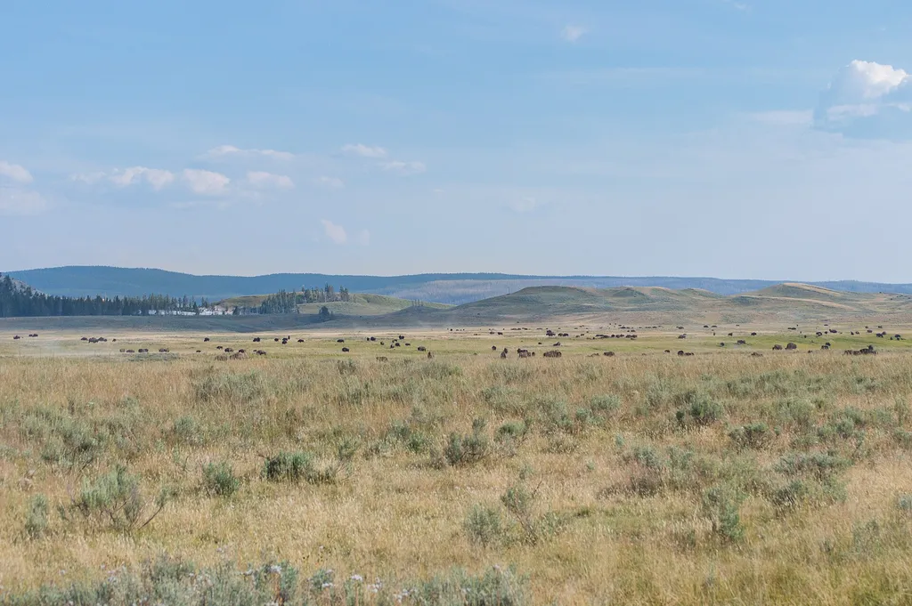
<p>Hayden Valley, is one of the best places in the park to view a wide variety of large mammals.</p> <p>Grizzly bears and black bears are often seen in the spring and early summer. Large herds of bison may be seen in the spring, early summer, and during the rut in August. Coyo…

Casecade Lake Trail
~3 min drive
4.3 mi · Easy
Observation Peak Trail
~3 min drive
9.4 mi · Moderate

Howard Eaton Trail
~12 min drive
22 mi · Hard
Dunraven Pass
~8 min drive
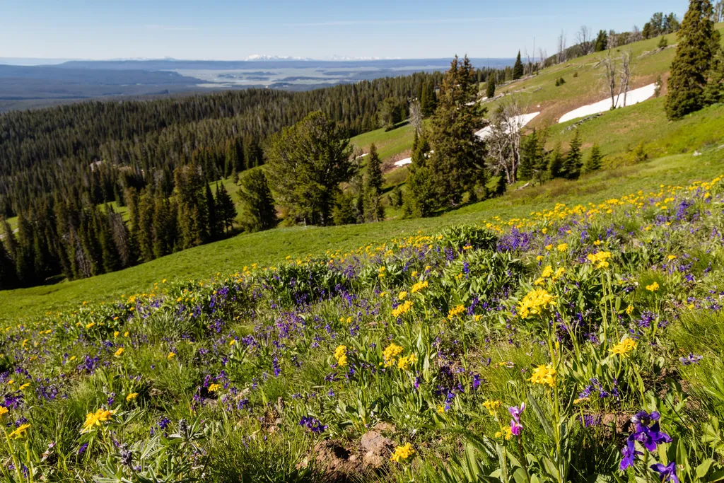
<p>Look for abundant wildflowers in high-elevation wetlands near the road in this area.</p> <p>The volcanic rocks that underlie the Absaroka Mountains are rich in calcium, magnesium, and iron. These minerals weather into soils that can store more water and provide better nutri…
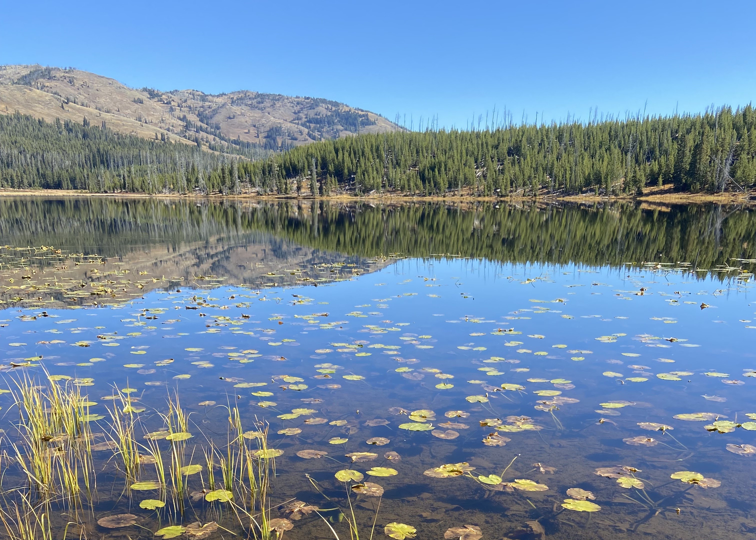
Cascade Lake Trailhead (4K5)
~3 min drive
From this trailhead you can embark on the following trails: Cascade Lake Trail Observation Peak Trail There is a dedicated parking lot at this trailhead. The nearest restrooms are location to the east at the Cascade Lake Picnic Area. Cascade Lake Trail A moderate 4.4-mile…

Dunraven Pass - Mount Washburn Trail
~8 min drive
7.0 mi · Moderate