Loading…

Cavalry Barracks (1891)
Free — you'll pick up right here.
Watch this trail
Sign up to watch it — saving subscribes you to gate, closure and report changes.
Wyoming
We won't guess. Here is exactly what we do and don't know.
What we do know
Inside Yellowstone National Park
National Park unit boundary is mapped — agency alerts for it feed this page automatically.
Boundary data
What's missing
No access route mapped
We don't yet know which road reaches this trailhead, so we can't tell you if it's gated.
Nobody's filed a report here yet — be the first.
Cavalry Barracks (1891)
AI-suggested draft · review before you go
No elevation data on file for this trail.
This barracks was built in 1891 and razed in the 1980s. The building was built to hold 60 men. Explore the Fort Yellowstone Historic District
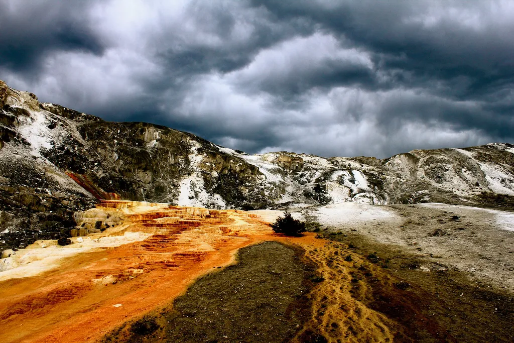
Mammoth Campground Comfort Station
~1 min drive
A worthwhile stop near Wyoming.

Osprey Falls Trail
~2 min drive
7.8 mi · Moderate
Yellowstone River
~8 min drive
Scenic 5.5-mile riverside hike with steady elevation gain in the Yellowstone region.
Low Specimen
~13 min drive
23-mile backcountry trek with steady elevation gain through remote Montana wilderness.
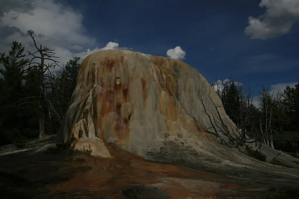
Liberty Cap
~1 min drive
<p>Liberty Cap is 37 feet (11 m) tall. It was created by a hot spring that was active in one location for a long time. Its internal pressure was sufficient to raise the water to a great height, allowing mineral deposits to build slowly and continuously for perhaps hundreds of…
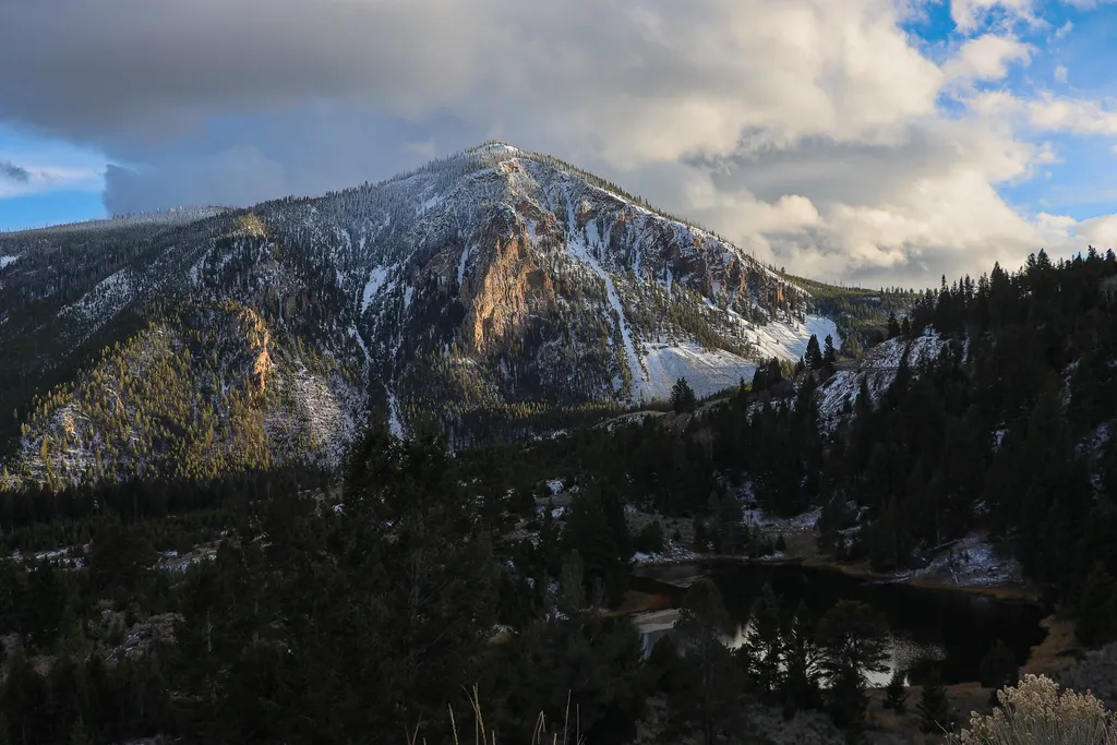
Bunsen Peak Overlook
~3 min drive
<p>Bunsen Peak prominently sits south of Mammoth Hot Springs. From this trailhead, you can embark on the following trails:</p> <ul> <li>Bunsen Peak Trail</li> <li>Bunsen Peak Road Trail</li> <li>Osprey Falls Trail</li> </ul> <p>Parking is limited. Winter trailhead access requi…
Maiden Falls
~11 min drive
Easy waterfall hike with modest elevation gain near Maiden Falls, Montana.
Beattie Gulch
~13 min drive
Challenging 11-mile gulch hike with 2,900 ft elevation gain in remote Montana.
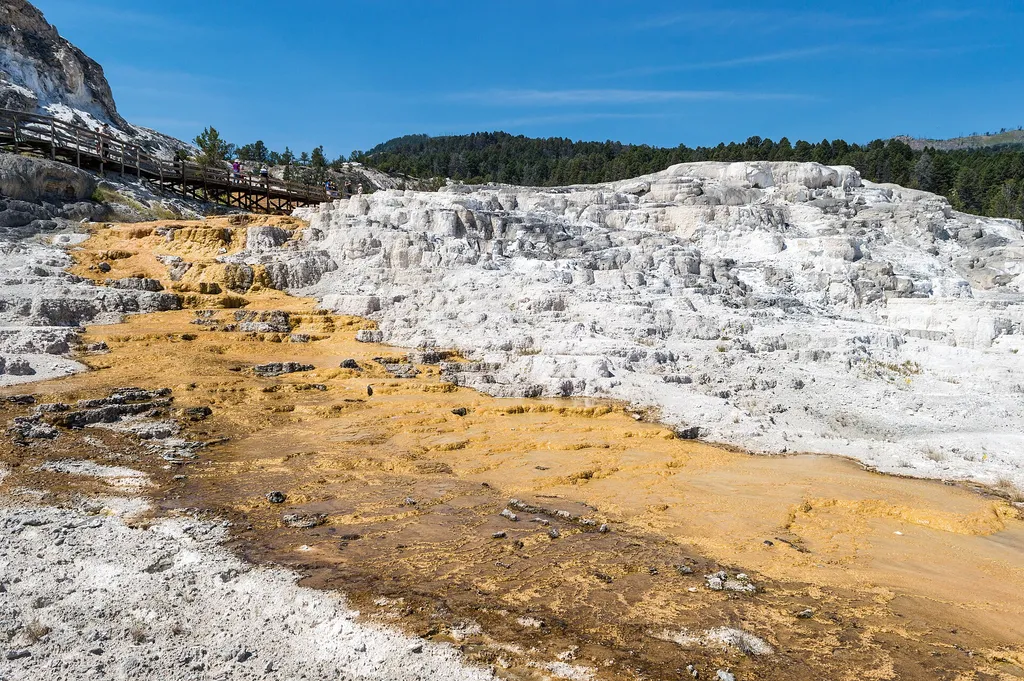
Minerva Terrace
~1 min drive
<p>Activity shifts dramatically around this terrace, named for the Roman goddess of artists and sculptors.</p> <p>The cascades of travertine beside the boardwalks were formed in the 1990s. Some years, they are dry.</p> <p>In dry areas, you can clearly see the many layers and t…

Beaver Ponds Trail
~3 min drive
5.3 mi · Moderate
