Loading…

Free — you'll pick up right here.
Watch this trail
Sign up to watch it — saving subscribes you to gate, closure and report changes.
Wyoming
5.3 mi
Distance
788 ft
Gain
2h 10m
Time
We won't guess. Here is exactly what we do and don't know.
What we do know
Inside Yellowstone National Park
National Park unit boundary is mapped — agency alerts for it feed this page automatically.
Boundary data
What's missing
No access route mapped
We don't yet know which road reaches this trailhead, so we can't tell you if it's gated.
Nobody's filed a report here yet — be the first.
Why you'll love it
Beaver Ponds Trail
AI-suggested draft · review before you go
Beaver Ponds Trail is a 5.3-mile lollipop loop located in Wyoming and managed by the National Park Service. This trail offers hikers a scenic route that combines outbound travel with a circular exploration before returning via the same path. The lollipop configuration makes this trail accessible for various fitness levels, as hikers can turn back at any point along the initial leg or complete the full loop for a more comprehensive experience. The National Park Service maintains the trail to established standards. The trail's name suggests wildlife viewing opportunities, particularly beaver activity, though hikers should be prepared with standard gear and water. The Wyoming location provides typical high-elevation or mountain terrain characteristics common to the region. Beaver Ponds Trail serves as a solid option for day hikers seeking moderate distance travel with the flexibility of a lollipop design. Check with the National Park Service for current conditions, seasonal access, and any specific regulations before your visit.
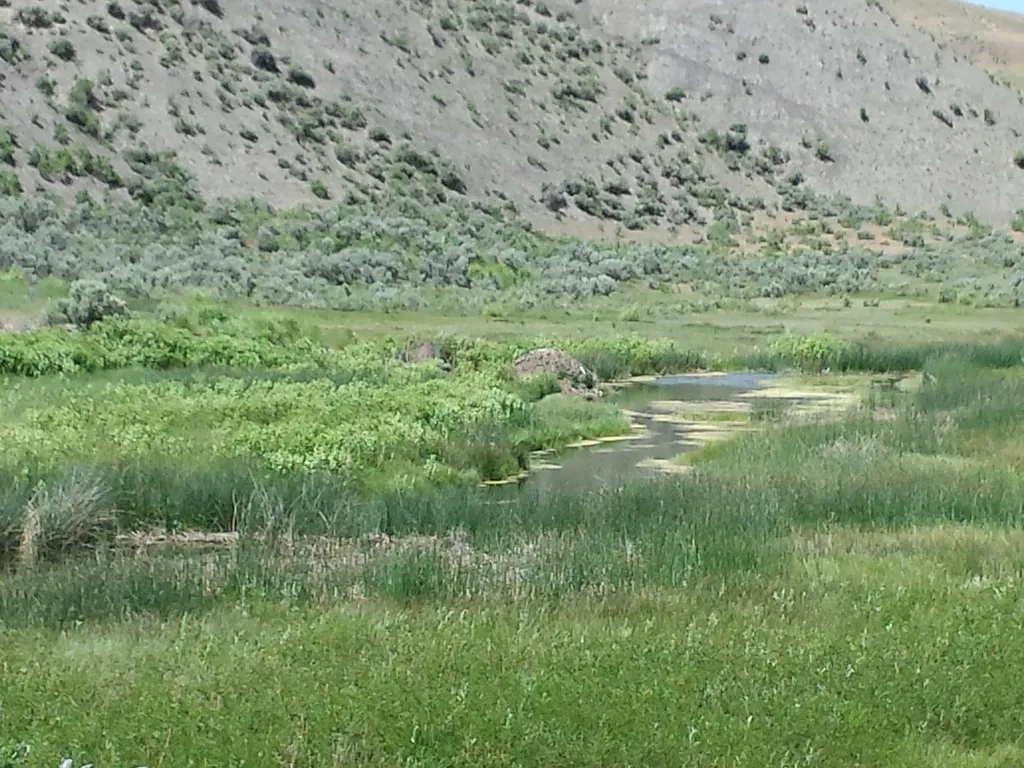
Boiling River
~2 min drive
<p><span style="color:#c0392b;"><strong>No swimming at Boiling River.</strong></span> Currently, swimming is not possible at Boiling River because of the impacts to the river from the <a href="https://www.nps.gov/yell/planyourvisit/flood-recovery.htm">2022 floods</a>.</p> <h2>…

Osprey Falls Trail
~5 min drive
7.8 mi · Moderate
Yellowstone River
~6 min drive
Scenic 5.5-mile riverside hike with steady elevation gain in the Yellowstone region.
Pine Creek
~12 min drive
Steady 8.5-mile climb through pine forest with 3,200 ft elevation gain.
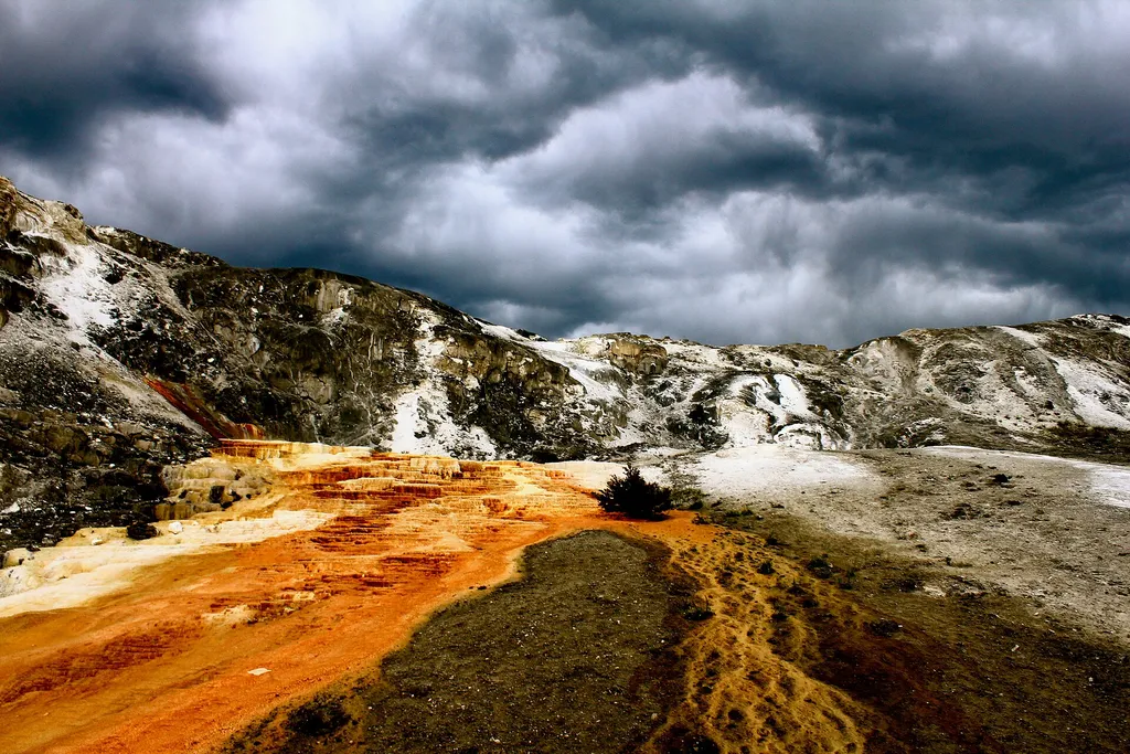
Mammoth Campground Comfort Station
~3 min drive
A worthwhile stop near Wyoming.
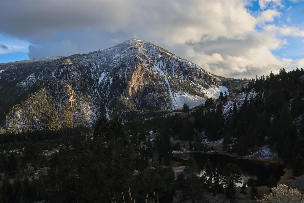
Bunsen Peak Overlook
~5 min drive
<p>Bunsen Peak prominently sits south of Mammoth Hot Springs. From this trailhead, you can embark on the following trails:</p> <ul> <li>Bunsen Peak Trail</li> <li>Bunsen Peak Road Trail</li> <li>Osprey Falls Trail</li> </ul> <p>Parking is limited. Winter trailhead access requi…
Maiden Falls
~8 min drive
Easy waterfall hike with modest elevation gain near Maiden Falls, Montana.
Bear Creek (Snowmo
~12 min drive
Moderate 7.77-mile trail with 464 ft elevation gain in Bear Creek area.
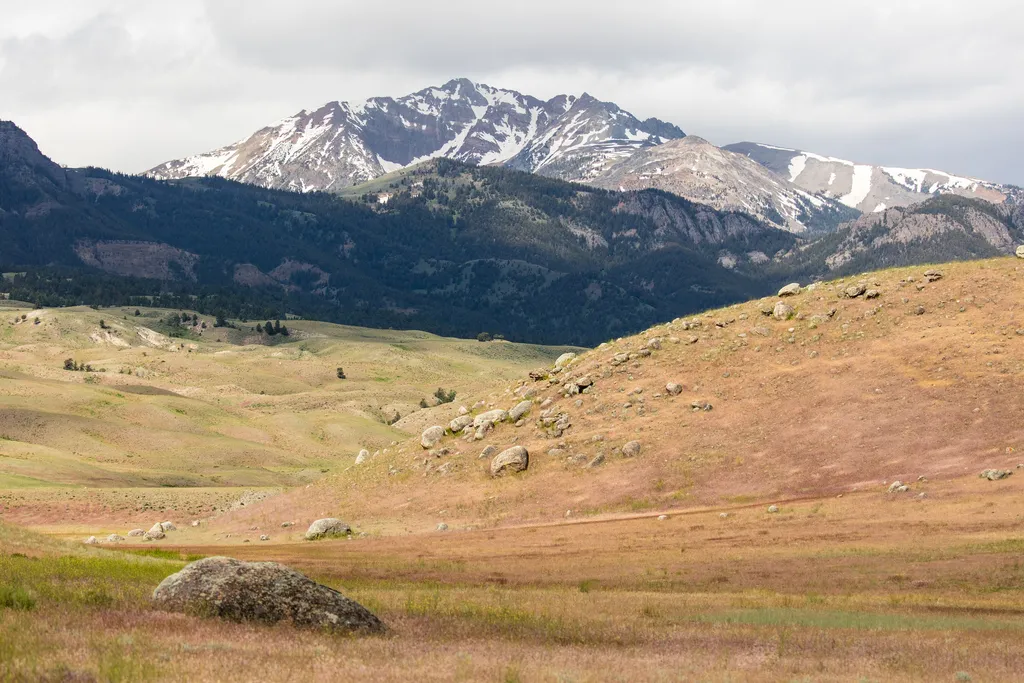
Rescue Creek Trailhead (1N2)
~3 min drive
Bunsen Peak prominently sits south of Mammoth Hot Springs. From this trailhead, you can embark on the following trails: Bunsen Peak Trail Bunsen Peak Road Trail Osprey Falls Trail Parking is limited. Winter trailhead access requires a snow coach drop-off, or skiing up from…
Bunsen Peak Trailhead (1K4)
~8 min drive
Bunsen Peak prominently sits south of Mammoth Hot Springs. From this trailhead, you can embark on the following trails: Bunsen Peak Trail Bunsen Peak Road Trail Osprey Falls Trail Parking is limited. Winter trailhead access requires a snow coach drop-off, or skiing up from…
