Sportsman Lake Trail
 Photo: cchadek, CC BY 3.0 (via Wikimedia Commons)
- 17.6 mi
- round trip
- 5,836 ft
- climb
- 9,829 ft
- high point
- Out and back
- route
Is Sportsman Lake Trail open right now?
Closure in the area
There's a closure order in Yellowstone National Park. It doesn't name Sportsman Lake Trail, so check the source for the area it covers (2 listed).
Most Park Roads Closed to All Vehicles
Park closure covering Yellowstone National Park · NPS · Yellowstone National Park
Biscuit Basin Closed Due to Hydrothermal Explosion
Park closure covering Yellowstone National Park · NPS · Yellowstone National Park
As of · Source: NPS · Yellowstone National Park. Agencies don't list every closure — check before you go.
Sportsman Lake Trail is a long, steep out-and-back hike in Yellowstone National Park in Wyoming, managed by the National Park Service. The route starts at about 7,410 feet and climbs to a high point of 9,829 feet, with a total elevation gain of 5,836 feet over the course of the trip. That makes it a demanding day on foot, and the trail is rated expert. The trail is roughly 35 miles long, and the estimated time for the round trip is about 14.5 hours. The climb is significant, and the route is best suited for hikers with experience on long, high-elevation hikes. Snow Pass Trail lies just 0.1 mile away, and Clagett Butte Trail is about a mile off. The Gardner River, a paddling route, and The Hoodoos, a climbing area, are both within about 2 miles.
- Snow Pass TrailHikingPhoto: cchadek, CC BY 3.0 (via Wikimedia Commons)0.1 mi
- Clagett Butte TrailHikingPhoto: cchadek, CC BY 3.0 (via Wikimedia Commons)1 mi
- Howard Eaton Trail: Mammoth-Golden GateHiking1.6 mi
 Gardner RiverCanoeingPhoto: Jo Suderman, Public domain (via Wikimedia Commons)1.6 mi
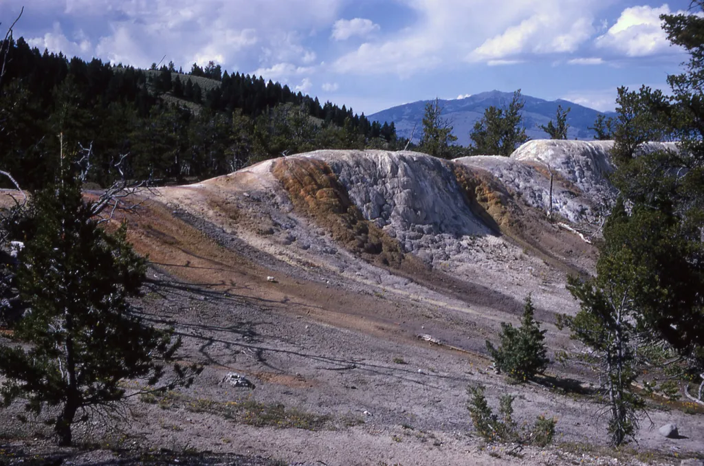 White Elephant Back TerraceHikingPhoto: NPS / public domain1.7 mi
 The HoodoosRock climbingPhoto: Ken Lund, CC BY-SA 2.0 (via Flickr)1.8 mi
- Gardiner DistrictLake fishing5.5 mi
- Eagle CreekCamping6.6 mi
Source: Roamze catalog (indexable pages within 10 miles, PostGIS distance)
- Clagett Butte TrailHiking · ~2 min drivePhoto: cchadek, CC BY 3.0 (via Wikimedia Commons)
- White Elephant Back TerraceHiking · ~3 min drive
- Bunsen Peak OverlookHiking · ~3 min drive
 Lava Creek TrailHiking · ~10 min drivePhoto: R. Sieben, CC BY 3.0 (via Wikimedia Commons)
 Yellowstone River TrailHiking · ~11 min drivePhoto: Forest Service - Northern Region, Public Domain Mark (via Flickr)
 Mammoth Terraces TrailHiking · ~4 min drivePhoto: Greg Willis from Denver, CO, usa, CC BY-SA 2.0 (via Wikimedia Commons)
- New Highland TerraceHiking · ~3 min drive
- Bunsen Peak Trailhead (1K4)Hiking · ~4 min drive
- Howard Eaton Trail: Mammoth-Golden GateHiking · ~3 min drive
- Sepulcher Mountain TrailHiking · ~4 min drive
Also worth it near here
 Terrace MountainSummit · ~1 min drivePhoto: R. G. Johnsson, Public domain (via Wikimedia Commons)
- Gardner RiverCanoeing · ~3 min drivePhoto: Jo Suderman, Public domain (via Wikimedia Commons)
- The HoodoosRock climbing · ~3 min drivePhoto: Ken Lund, CC BY-SA 2.0 (via Flickr)
 Rustic FallsWaterfall · ~4 min drivePhoto: James St. John, CC BY 2.0 (via Wikimedia Commons)
