Loading trail…

Fort Yellowstone National Historic Landmark
Free — you'll pick up right here.
Save this plan
Sign up to save your own editable copy — you'll pick up right here.
Wyoming
No conditions check on file for this trail yet — always verify current conditions before you go.
Fort Yellowstone National Historic Landmark
AI-suggested draft · review before you go
No elevation data on file for this trail.
This 0.3-mile (0.5-km) self-guiding trail on sidewalks has nine stops with exhibits. The trail takes approximately 45 minutes at a leisurely pace. The exhibits describe life in Fort Yellowstone when the US Army administered the park from 1886 through 1918. Significant conservation policies were developed here that lead to the origin of the National Park Service. Watch for traffic. Do not approach wildlife. Many buildings along the trail are employee residences and are not open to the public. Please respect the privacy of residents by staying on the paved route and treating living areas with courtesy. The trail begins at the Albright Visitor Center, which was the bachelor officers' quarters, completed in 1909. It had an officer's mess or club, kitchen, sitting room, and apartments for six single officers. Yellowstone's First Ten Years For the first decade after Yellowstone National Park was established in 1872, the park was under serious threat from those who would exploit, rather than protect, its resources. Poachers killed animals. Souvenir hunters broke large pieces off the geysers and hot springs. Developers set up camps for tourists near hot springs, along with bath and laundry facilities in the hot springs. In response, civilian superintendents were hired to preserve and protect the new park. Their experience and intentions varied, and they were all under-funded and under-staffed. Word reached Congress that the park was in trouble, but legislators refused to appropriate money for the park's administration in 1886. The Army Arrives The Secretary of the Interior, under the authority given by Congress, called on the Secretary of War for assistance. In 1886, men from Company M, First United States Cavalry, Fort Custer, Montana Territory, came to Yellowstone under the command of Captain Moses Harris. Over the next 32 years, the Army strengthened, posted, and enforced regulations in the park. Troops guarded the major attractions and evicted troublemakers, and cavalry patrolled the vast interior. Accessibility The route has some potential hazards where the concrete sidewalk has buckled (up to 1.5" high) or has large gaps at expansion joints. The concrete sidewalk is cracked or deteriorated in some places. Side slope may be up to 6% in places along Officer's Row. The sidewalks between the Albright Visitor Center and the Administration Building (originally double cavalry barracks) have 10-12% slopes. The audio description describes the wayside exhibit.
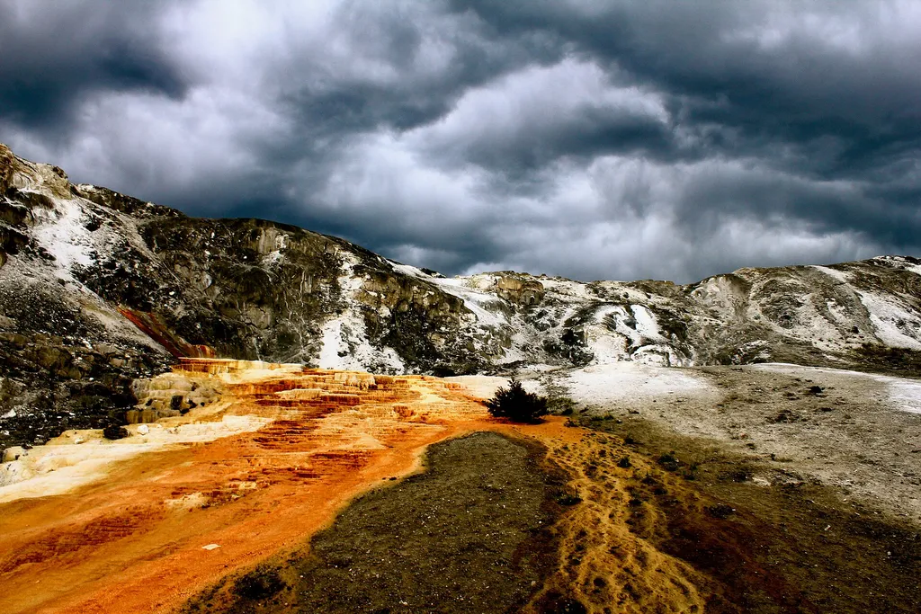
Mammoth Campground Comfort Station
~1 min drive
A worthwhile stop near Wyoming.

Osprey Falls Trail
~2 min drive
7.8 mi · Moderate
Yellowstone River
~8 min drive
Scenic 5.5-mile riverside hike with steady elevation gain in the Yellowstone region.
Beattie Gulch
~13 min drive
Challenging 11-mile gulch hike with 2,900 ft elevation gain in remote Montana.
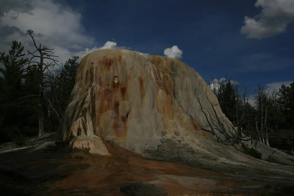
Liberty Cap
~1 min drive
<p>Liberty Cap is 37 feet (11 m) tall. It was created by a hot spring that was active in one location for a long time. Its internal pressure was sufficient to raise the water to a great height, allowing mineral deposits to build slowly and continuously for perhaps hundreds of…

Beaver Ponds Trail
~3 min drive
5.3 mi · Moderate
Maiden Falls
~11 min drive
Easy waterfall hike with modest elevation gain near Maiden Falls, Montana.
Bear Creek (Snowmo
~13 min drive
Moderate 7.77-mile trail with 464 ft elevation gain in Bear Creek area.
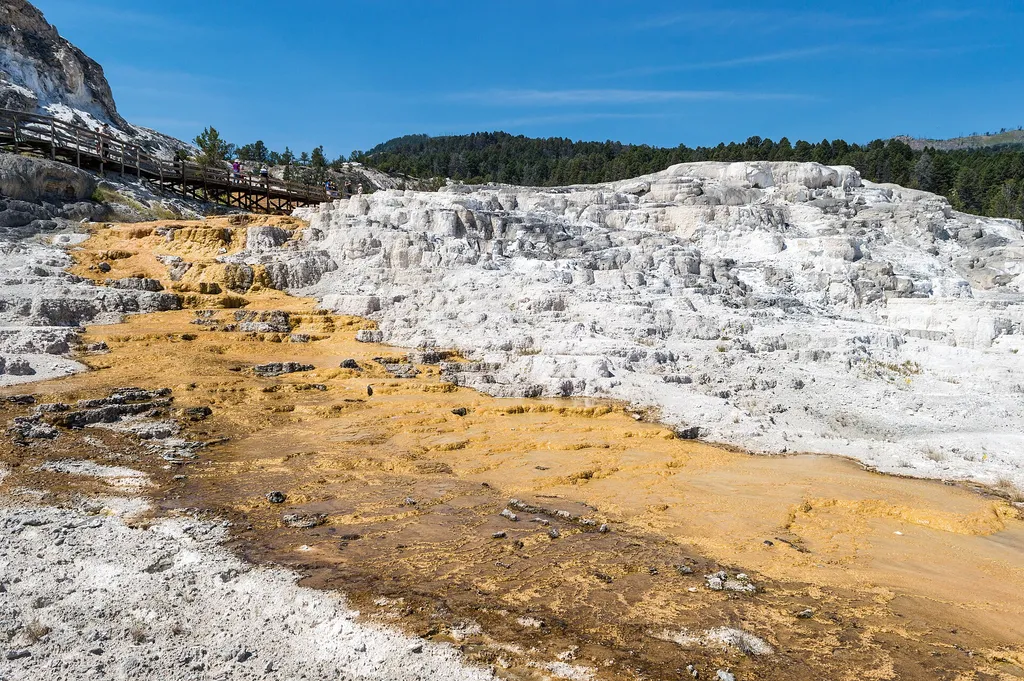
Minerva Terrace
~1 min drive
<p>Activity shifts dramatically around this terrace, named for the Roman goddess of artists and sculptors.</p> <p>The cascades of travertine beside the boardwalks were formed in the 1990s. Some years, they are dry.</p> <p>In dry areas, you can clearly see the many layers and t…
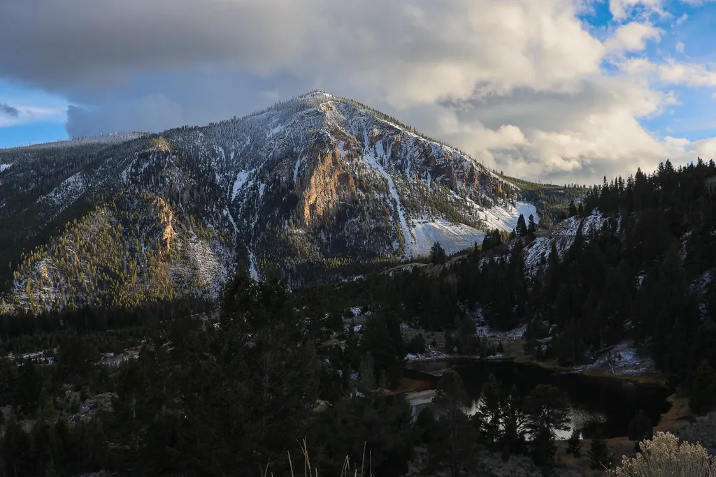
Bunsen Peak Overlook
~3 min drive
<p>Bunsen Peak prominently sits south of Mammoth Hot Springs. From this trailhead, you can embark on the following trails:</p> <ul> <li>Bunsen Peak Trail</li> <li>Bunsen Peak Road Trail</li> <li>Osprey Falls Trail</li> </ul> <p>Parking is limited. Winter trailhead access requi…