Loading…

Liberty Cap
Free — you'll pick up right here.
Watch this trail
Sign up to watch it — saving subscribes you to gate, closure and report changes.
Wyoming
We won't guess. Here is exactly what we do and don't know.
What we do know
Inside Yellowstone National Park
National Park unit boundary is mapped — agency alerts for it feed this page automatically.
Boundary data
What's missing
No access route mapped
We don't yet know which road reaches this trailhead, so we can't tell you if it's gated.
Nobody's filed a report here yet — be the first.
Liberty Cap
AI-suggested draft · review before you go
No elevation data on file for this trail.
Liberty Cap is 37 feet (11 m) tall. It was created by a hot spring that was active in one location for a long time. Its internal pressure was sufficient to raise the water to a great height, allowing mineral deposits to build slowly and continuously for perhaps hundreds of years. Liberty Cap was named in 1871 by the Hayden Survey because it resembled the peaked knit caps symbolizing freedom and liberty during the French Revolution. Mammoth Hot Springs A network of fractures and fissures form the plumbing system that allows hot water from underground to reach the surface at Mammoth Hot Springs. Small earthquakes may keep the plumbing open. The water comes from rain and snow falling on surrounding mountains and seeping deep into the earth where it is heated. The volcanic heat source for Mammoth Hot Springs remains somewhat of a mystery. Scientists have proposed two sources: the large magma chamber underlying the Yellowstone Caldera or a smaller heat source closer to Mammoth. For hundreds of years, Shoshone and Bannock people collected minerals from the Mammoth Hot Springs terraces for white paint. Travertine Terraces Travertine terraces are formed from limestone (calcium carbonate). Water rises through the limestone, carrying high amounts of dissolved calcium carbonate. At the surface, carbon dioxide is released and calcium carbonate is deposited, forming travertine, the chalky white rock of the terraces. Due to the rapid rate of deposition, these features constantly and quickly change. Use Caution in Hydrothermal Areas Stay on boardwalks and designated trails. Hydrothermal water can severely burn you. Never run, push, or shove. Supervise children at all times. Do not scratch hydrothermal mats. You are responsible for your safety. Think safety, act safely. Yellowstone is a dangerous place.
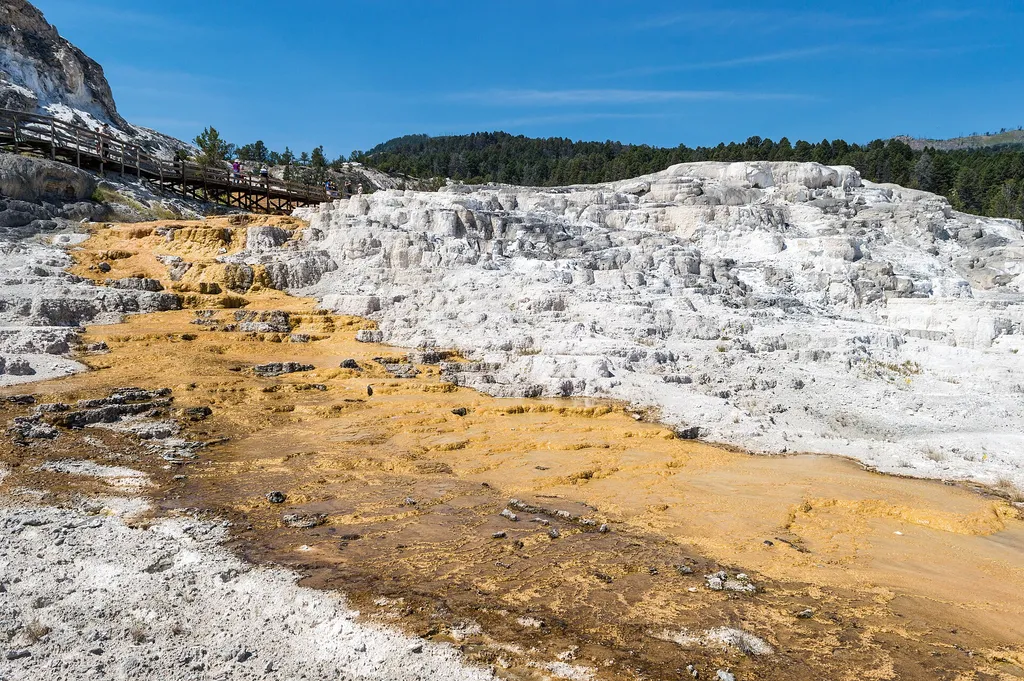
Minerva Terrace
~0 min drive
<p>Activity shifts dramatically around this terrace, named for the Roman goddess of artists and sculptors.</p> <p>The cascades of travertine beside the boardwalks were formed in the 1990s. Some years, they are dry.</p> <p>In dry areas, you can clearly see the many layers and t…

Osprey Falls Trail
~2 min drive
7.8 mi · Moderate
Yellowstone River
~8 min drive
Scenic 5.5-mile riverside hike with steady elevation gain in the Yellowstone region.
Bear Creek (Snowmo
~14 min drive
Moderate 7.77-mile trail with 464 ft elevation gain in Bear Creek area.
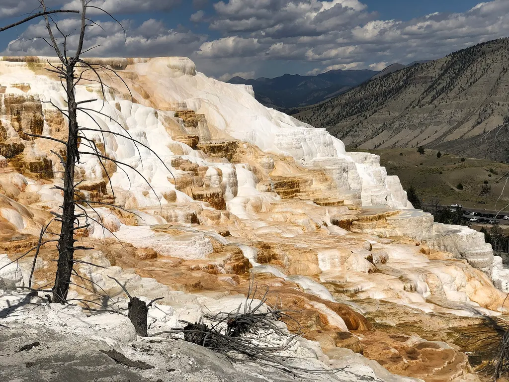
Old Mammoth Horse Corral Vault Toilet
~1 min drive
A worthwhile stop near Wyoming.
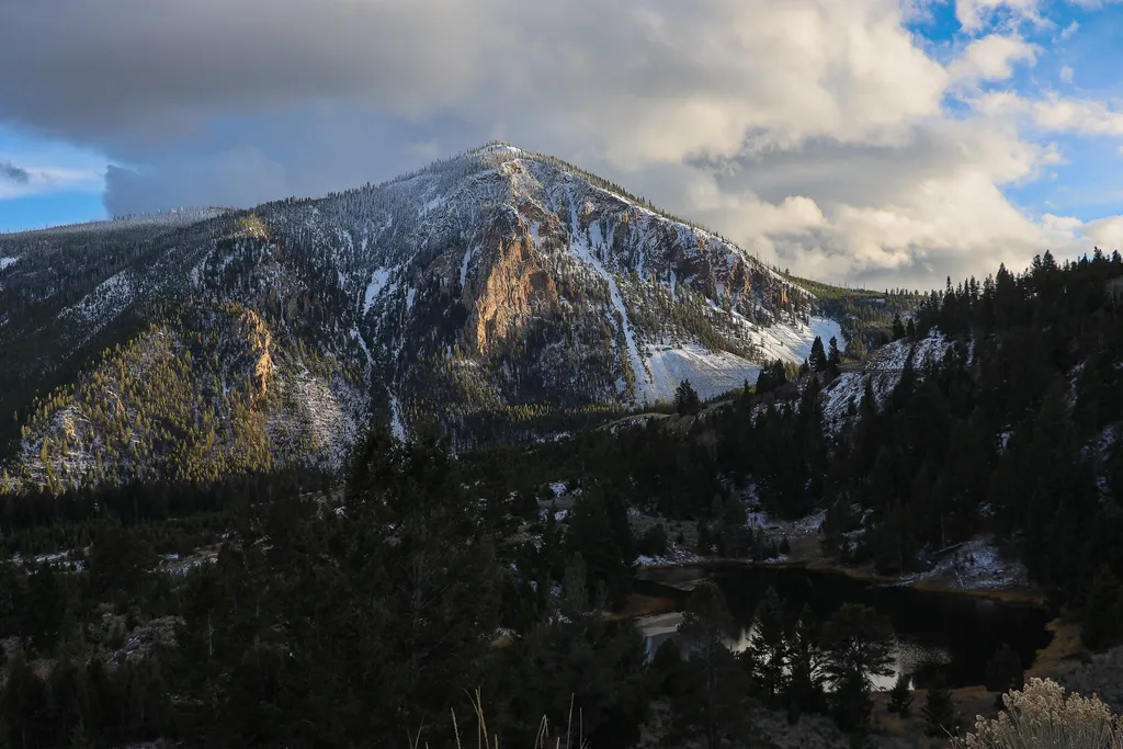
Bunsen Peak Overlook
~3 min drive
<p>Bunsen Peak prominently sits south of Mammoth Hot Springs. From this trailhead, you can embark on the following trails:</p> <ul> <li>Bunsen Peak Trail</li> <li>Bunsen Peak Road Trail</li> <li>Osprey Falls Trail</li> </ul> <p>Parking is limited. Winter trailhead access requi…
Maiden Falls
~11 min drive
Easy waterfall hike with modest elevation gain near Maiden Falls, Montana.
Low Specimen
~14 min drive
23-mile backcountry trek with steady elevation gain through remote Montana wilderness.
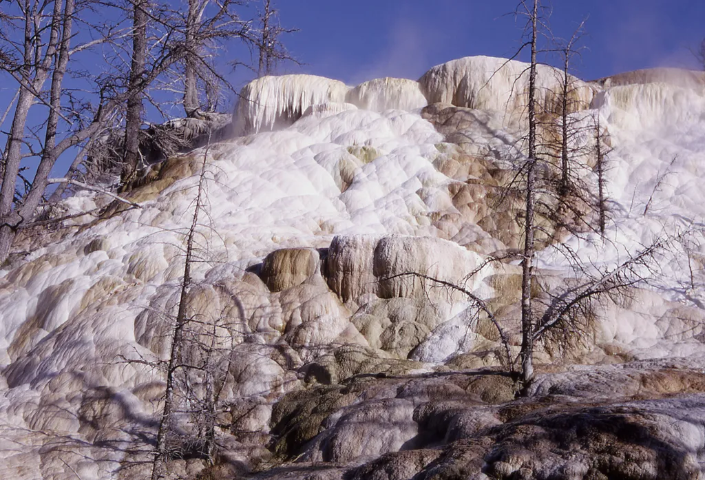
New Highland Terrace
~1 min drive
This terrace was active from the 1950s through the 1980s. Today, it is a stark, white cliffside leading to Orange Spring Mound to the southwest.

Beaver Ponds Trail
~3 min drive
5.3 mi · Moderate
