Rolston Rest Shelter
Campground
Campground · 6.6 mi from the trail
Holey Land is a bouldering area in Vermont, about a mile from the town of Grangerville. It sits among several other climbing spots, including The Frog and The Toad and Stone Soup, each about 0.1 mile away, and Trailside Boulder, so the whole cluster makes an easy base for a day of bouldering. The climbing here is all bouldering, with six routes spread across the V0- to V5+ range. The easiest are The Father at V0- and Crusader at V0, while The Cyclops is the hardest at V5+. The Effigy and The Manuscript are both V1. The routes were first ascended by climbers including Jason Hayden and Samuel Hayden. Summer is the most comfortable time to visit. Typical averages from the nearby Rutland weather station show July highs around 80°F with lows near 56°F, while winter brings highs in the 20s and regular snow days from December through February. Paddlers can head to Furnace Brook, about 0.4 mile away, and hikers to Cave Trail, about 0.8 mile away. Chittenden Brook Campground, roughly 8 miles off, offers a place to stay.
Rolston Rest Shelter
Campground
Pittsford Pub & Grill
Pub
 If it rainsHarvey Barrison from Massapequa, NY, USA, CC BY-SA 2.0 · Wikimedia Commons
Museum and active dairy farm in Woodstock, Vermont
Places © OpenStreetMap contributors · Photos: Harvey Barrison from Massapequa, NY, USA, CC BY-SA 2.0 (commons)
More in Randolph Cave TrailHikingPhoto: U. S. Fish and Wildlife Service - Northeast Region, Public domain (via Wikimedia Commons)0.8 miPittsford TrailsHikingPhoto: U. S. Fish and Wildlife Service - Northeast Region, Public domain (via Wikimedia Commons)1 mi
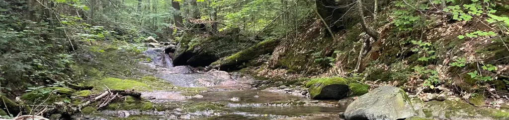 Chittenden Brook CampgroundCampingPhoto: Recreation.gov (RIDB) / public domain7.8 mi
Source: Roamze catalog (indexable pages within 10 miles, PostGIS distance)
 Lake Dunmore/Falls of LanaRock climbing · ~22 min drivePhoto: Boston Public Library, CC BY 2.0 (via Wikimedia Commons)Main CragRock climbing · ~22 min drivePhoto: Boston Public Library, CC BY 2.0 (via Wikimedia Commons)
Best months: June–October. Best months have typical highs of 55–85 °F, lows of 30 °F or warmer (32 °F where the station doesn't record snow), at most one snowy day and no more than 12 wet days.
Jan
29° / 8°
13 wet · 9 snow
Feb
32° / 9°
10 wet · 8 snow
Mar
41° / 18°
12 wet · 6 snow
Apr
55° / 31°
12 wet · 2 snow
May
68° / 42°
13 wet
Jun
76° / 52°
12 wet
Jul
80° / 56°
12 wet
Aug
78° / 54°
11 wet
Sep
71° / 46°
10 wet
Oct
58° / 35°
12 wet
Nov
46° / 26°
12 wet · 3 snow
Dec
35° / 16°
14 wet · 8 snow
Typical high / low (°F) and days with rain or snow, 1991–2020. Measured at Rutland, VT, 7.2 mi away at 620 ft. Source: NOAA NCEI U.S. Climate Normals 1991–2020.
