National Guard Dispersed Area
Campground
Campground · 1.6 mi from the trail
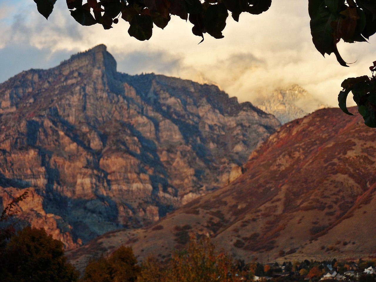
 Photo: An Errant Knight, CC BY-SA 4.0 (via Wikimedia Commons)
No closures listed
The Forest Service lists no closures for Uinta-Wasatch-Cache National Forest.
As of · Source: USFS · Uinta-Wasatch-Cache National Forest. Agencies don't list every closure — check before you go.
Cascade Mountain is a summit of about 10,897 feet in Utah County, Utah, on the Pleasant Grove Ranger District of the Uinta-Wasatch-Cache National Forest. The Forest Service manages the land, and the nearest town is Provo, about 5 miles away. Bunnels Fork Trail starts about a mile away, and the Hope campground is about 1.6 miles off. The Khyv Peak Overlook Back Trail is about 1.7 miles away, and the Provo Canyon climbing area is about 2.4 miles away.
National Guard Dispersed Area
Campground
Shoots Chinese Resturant
Restaurant
 If it rainsGreenwoodKL, CC BY-SA 3.0 · Wikimedia Commons
Life sciences museum at Brigham Young University in Provo, Utah, United States
Places © OpenStreetMap contributors · Photos: GreenwoodKL, CC BY-SA 3.0 (commons)
More in HeberDaily highs and lows, wind and the chance of precipitation at the summit for the next 7 days, from the Open-Meteo model.
Elevation from USGS 3D Elevation Program terrain data (about 10 m resolution).
We don't know of a mapped trail or route to the summit of Cascade Mountain. Plan the approach with local maps, a guidebook or a local guide, and check conditions before you go.
10,897 ft (3,321 m).
We don't know of a mapped trail or route to the summit. Plan the approach with local maps, a guidebook or a local guide.


 Provo CanyonRock climbingPhoto: A J Butler, CC BY 3.0 (via Wikimedia Commons)2.4 mi
Source: Roamze catalog (indexable pages within 10 miles, PostGIS distance)
Kyhv PeakSummit · ~5 min drivePhoto: Pastelitodepapa, CC0 (via Wikimedia Commons)Y MountainSummit · ~6 min drivePhoto: Lunkwill at English Wikipedia, Public domain (via Wikimedia Commons)Provo PeakSummit · ~8 min drivePhoto: Epachamo at English Wikipedia, Public domain (via Wikimedia Commons) Buckley MountainSummit · ~11 min drivePhoto: An Errant Knight, CC BY-SA 4.0 (via Wikimedia Commons)Mount TimpanogosSummit · ~11 min drivePhoto: Eric Ward from Provo, UT, USA, CC BY-SA 2.0 (via Wikimedia Commons)
 Powerhouse MountainSummit · ~16 min drivePhoto: Bobjgalindo, CC BY-SA 4.0 (via Wikimedia Commons)
 Mahogany MountainSummit · ~17 min drivePhoto: Don LaVange from Pleasant Grove, UT, USA, CC BY-SA 2.0 (via Wikimedia Commons)
 Ether PeakSummit · ~20 min drivePhoto: An Errant Knight, CC BY-SA 4.0 (via Wikimedia Commons)
 Spanish Fork PeakSummit · ~26 min drivePhoto: An Errant Knight, CC BY-SA 4.0 (via Wikimedia Commons)
 The PfeifferhornSummit · ~29 min drivePhoto: Itineranttrader, Public domain (via Wikimedia Commons)


