Mt Timpanogos Cg
Campground
Campground · 4.1 mi from the trail
No closures listed
The Forest Service lists no closures for Uinta-Wasatch-Cache National Forest.
As of · Source: USFS · Uinta-Wasatch-Cache National Forest. Agencies don't list every closure — check before you go.
Big Baldy is a summit in Utah's Uinta-Wasatch-Cache National Forest, within the Pleasant Grove Ranger District. The nearest town is Lindon, about 3 miles away. Baldy Ridge Trail starts just 0.1 mile away, and Little Baldy sits about half a mile off. Climbers can find Mammoth Wall about 1.5 miles away, and Mt Timpanogos Campground lies roughly 4 miles from the summit.
Mt Timpanogos Cg
Campground
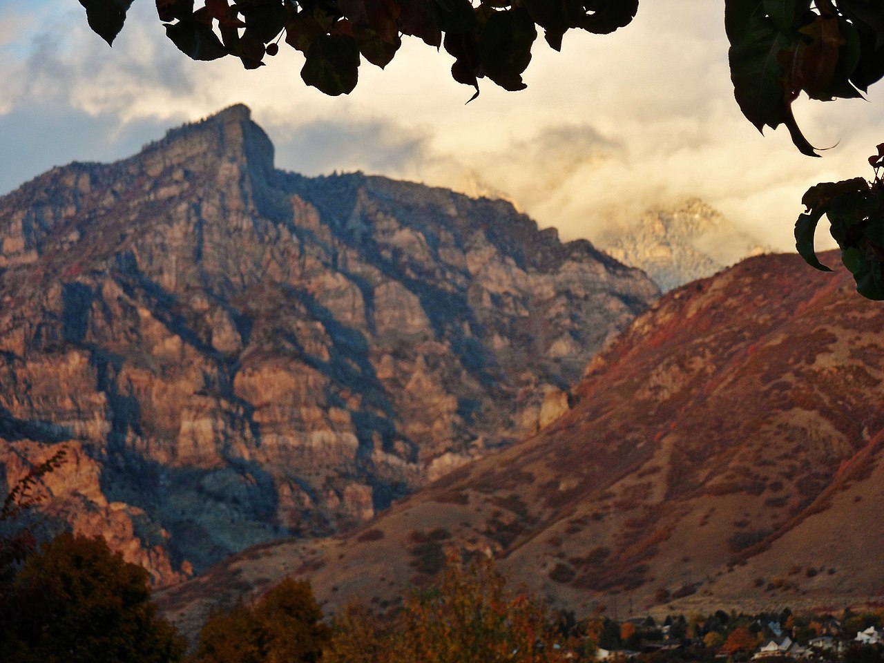
 If it rainsBen P L from Provo, USA, CC BY-SA 2.0 · Wikimedia Commons
Orem Heritage Museum
Museum
Places © OpenStreetMap contributors · Photos: Ben P L from Provo, USA, CC BY-SA 2.0 (commons)
More in HeberDaily highs and lows, wind and the chance of precipitation at the summit and route start for the next 7 days, from the Open-Meteo model.
Elevation from USGS 3D Elevation Program terrain data (about 10 m resolution).
| Big Baldy Trail | Baldy Ridge Trail | |
|---|---|---|
| Climbing | About 571 ft | About 2,557 ft |
| Round trip | 1.4 mi | 2.5 mi |
| Difficulty | Moderate | Moderate |
| Terrain | Hike | Hike |
8,751 ft (2,667 m).
2: Big Baldy Trail and Baldy Ridge Trail.
Big Baldy Trail, about 1.4 mi round trip.




 Mammoth WallRock climbingPhoto: photophat, CC BY 3.0 (via Wikimedia Commons)1.5 miCretaceous CragRock climbingPhoto: photophat, CC BY 3.0 (via Wikimedia Commons)1.8 mi
Source: Roamze catalog (indexable pages within 10 miles, PostGIS distance)
Mount TimpanogosSummit · ~3 min drivePhoto: Eric Ward from Provo, UT, USA, CC BY-SA 2.0 (via Wikimedia Commons)Mahogany MountainSummit · ~7 min drivePhoto: Don LaVange from Pleasant Grove, UT, USA, CC BY-SA 2.0 (via Wikimedia Commons) Cascade MountainSummit · ~10 min drivePhoto: An Errant Knight, CC BY-SA 4.0 (via Wikimedia Commons)Kyhv PeakSummit · ~12 min drivePhoto: Pastelitodepapa, CC0 (via Wikimedia Commons)Y MountainSummit · ~14 min drivePhoto: Lunkwill at English Wikipedia, Public domain (via Wikimedia Commons)Provo PeakSummit · ~17 min drivePhoto: Epachamo at English Wikipedia, Public domain (via Wikimedia Commons)
 Buckley MountainSummit · ~19 min drivePhoto: An Errant Knight, CC BY-SA 4.0 (via Wikimedia Commons)
 The PfeifferhornSummit · ~20 min drivePhoto: Itineranttrader, Public domain (via Wikimedia Commons)
 Lone PeakSummit · ~21 min drivePhoto: Climbjm at English Wikipedia, Public domain (via Wikimedia Commons)
 Hidden PeakSummit · ~23 min drivePhoto: VeggieGarden, CC BY-SA 4.0 (via Wikimedia Commons)
Also worth it near here
Mammoth WallRock climbing · ~2 min drivePhoto: photophat, CC BY 3.0 (via Wikimedia Commons) TimpoonekeMountain biking · ~6 min drivePhoto: photophat, CC BY 3.0 (via Wikimedia Commons)
 Stewarts Cascade TrailHiking · ~6 min drivePhoto: Christopher Michel, CC BY 2.0 (via Wikimedia Commons)
 Stewarts CascadesWaterfall · ~6 min drivePhoto: An Errant Knight, CC BY-SA 4.0 (via Wikimedia Commons)
