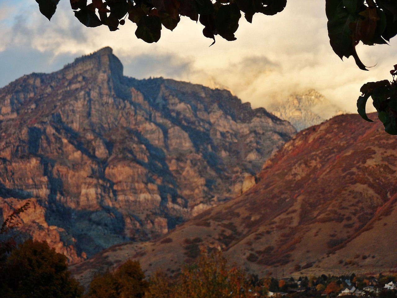
Ether Peak
 Photo: An Errant Knight, CC BY-SA 4.0 (via Wikimedia Commons)
- 7,533 ft
- summit
- Forest Service
- managed by
- May–Sep
- best months
Is Ether Peak open right now?
No closures listed
The Forest Service lists no closures for Uinta-Wasatch-Cache National Forest.
As of · Source: USFS · Uinta-Wasatch-Cache National Forest. Agencies don't list every closure — check before you go.
Ether Peak is a summit of 7,533 feet in Utah's Uinta-Wasatch-Cache National Forest, within the Spanish Fork Ranger District and about 3 miles from the town of Mapleton. The Forest Service manages the land. Summer is the most comfortable time to visit. Typical averages from a nearby weather station in Sundance, which sits roughly 900 feet lower, show July highs around 81°F with lows near 58°F, while winter highs stay near freezing. The Left Fork Maple Canyon and Right Fork Maple Canyon hikes both start within a mile of the peak, and the Whiting campground is about 0.8 miles away. Climbers can head to the Seclusion climbing area, about 2.7 miles off.
Conditions and forecast
Daily highs and lows, wind and the chance of precipitation at the summit for the next 7 days, from the Open-Meteo model.
- Summit elevation
- 7,533 ft
- Land manager
- Forest Service
Elevation from USGS 3D Elevation Program terrain data (about 10 m resolution).
We don't know of a mapped trail or route to the summit of Ether Peak. Plan the approach with local maps, a guidebook or a local guide, and check conditions before you go.
Questions about Ether Peak
How tall is Ether Peak?
7,533 ft (2,296 m).
Is there a trail to the top of Ether Peak?
We don't know of a mapped trail or route to the summit. Plan the approach with local maps, a guidebook or a local guide.
 Powerhouse Mountain7,988 ft · Utah1 route2.3 mi awayPhoto: Bobjgalindo, CC BY-SA 4.0 (via Wikimedia Commons)
- Round Peak5,604 ft · Utah1 route3.7 mi away
 Spanish Fork Peak10,185 ft · Utah1 route3.9 mi awayPhoto: An Errant Knight, CC BY-SA 4.0 (via Wikimedia Commons)
 Provo Peak11,059 ft · Utah1 route7.1 mi awayPhoto: Epachamo at English Wikipedia, Public domain (via Wikimedia Commons)
 Y Mountain8,556 ft · Utah1 route8.8 mi awayPhoto: Lunkwill at English Wikipedia, Public domain (via Wikimedia Commons)
 Kyhv Peak7,874 ft · Utah1 route10 mi awayPhoto: Pastelitodepapa, CC0 (via Wikimedia Commons)
 LEFT FORK MAPLE CANYONHikingPhoto: The Dye Clan, CC BY-SA 3.0 (via Wikimedia Commons)0.6 mi
- Right Fork Maple CanyonHikingPhoto: The Dye Clan, CC BY-SA 3.0 (via Wikimedia Commons)0.7 mi
- WhitingCamping0.8 mi
- SeclusionRock climbing2.7 mi
 Hobble CreekCanoeingPhoto: An Errant Knight, CC BY-SA 4.0 (via Wikimedia Commons)3 mi
- CherryCamping3.2 mi
- Drone WallRock climbing3.6 mi
 Right Fork Hobble CreekCanoeingPhoto: An Errant Knight, CC BY-SA 4.0 (via Wikimedia Commons)5.1 mi
Source: Roamze catalog (indexable pages within 10 miles, PostGIS distance)
- Powerhouse MountainSummit · ~4 min drivePhoto: Bobjgalindo, CC BY-SA 4.0 (via Wikimedia Commons)
- Spanish Fork PeakSummit · ~7 min drivePhoto: An Errant Knight, CC BY-SA 4.0 (via Wikimedia Commons)
 Buckley MountainSummit · ~10 min drivePhoto: An Errant Knight, CC BY-SA 4.0 (via Wikimedia Commons)
- Provo PeakSummit · ~12 min drivePhoto: Epachamo at English Wikipedia, Public domain (via Wikimedia Commons)
- Y MountainSummit · ~15 min drivePhoto: Lunkwill at English Wikipedia, Public domain (via Wikimedia Commons)
- Kyhv PeakSummit · ~17 min drivePhoto: Pastelitodepapa, CC0 (via Wikimedia Commons)
 Cascade MountainSummit · ~20 min drivePhoto: An Errant Knight, CC BY-SA 4.0 (via Wikimedia Commons)
 Little MountainSummit · ~22 min drivePhoto: An Errant Knight, CC BY-SA 4.0 (via Wikimedia Commons)
 West MountainSummit · ~29 min drivePhoto: Milonica, CC BY-SA 3.0 (via Wikimedia Commons)
 Dry MountainSummit · ~30 min drivePhoto: An Errant Knight, CC BY-SA 4.0 (via Wikimedia Commons)
Best time to visit Ether Peak
Best months: May–September. Best months have typical highs of 55–85 °F, lows of 30 °F or warmer (32 °F where the station doesn't record snow), at most one snowy day and no more than 12 wet days.
Jan
32° / 19°
Feb
33° / 20°
Mar
42° / 26°
Apr
49° / 32°
May
62° / 40°
Jun
73° / 49°
Jul
81° / 58°
Aug
80° / 56°
Sep
68° / 47°
Oct
53° / 36°
Nov
40° / 26°
Dec
31° / 19°
Typical high / low (°F) and days with rain or snow, 1991–2020. Measured at Sundance, UT, 17.3 mi away at 6,620 ft. The station sits about 900 ft lower than this place, so expect it a little cooler here. This station doesn't record snowfall. Source: NOAA NCEI U.S. Climate Normals 1991–2020.
