Crystal Peak Road
- 0.6 mi
- round trip
- 88 ft
- climb
- 5,066 ft
- high point
- Out and back
- route
- May, Sep–Oct
- best months
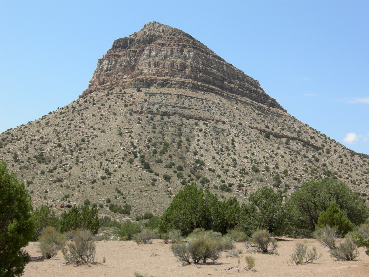
Crystal Peak Road is a short, easy out-and-back hike in southern Utah, set on Bureau of Land Management land within the Fillmore Field Office. The route is just over a mile long and gains about 88 feet in elevation, so it's a quick outing that fits easily into a day spent exploring this part of the field office. The hike is flat for most of the way, with the steepest stretch at about 0.1 miles, where the grade reaches about 2%. The trail starts near 5,061 feet and reaches a high point of about 5,066 feet before returning to the same level. Spring and fall are the most comfortable times to go. Typical averages from a nearby weather station show May highs around 78°F and October highs around 73°F, while July averages climb to about 96°F. The Adt - Utah - R - Seg 6 hike lies about half a mile away and makes a natural addition to the visit.
Source: Roamze catalog (indexable pages within 10 miles, PostGIS distance)
- Pole Canyon TrailheadHiking · ~1h 20m drive
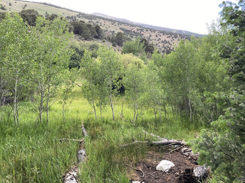 Pole Canyon TrailHiking · ~1h 21m drivePhoto: Ken Lund, CC BY-SA 2.0 (via Flickr)
- Baker Creek TrailheadHiking · ~1h 22m drive
- Timber Creek TrailHiking · ~1h 22m drivePhoto: Ken Lund, CC BY-SA 2.0 (via Flickr)
- Snake Creek TrailheadHiking · ~1h 20m drive
- Baker Meadows TrailHiking · ~1h 22m drivePhoto: Ken Lund, CC BY-SA 2.0 (via Flickr)
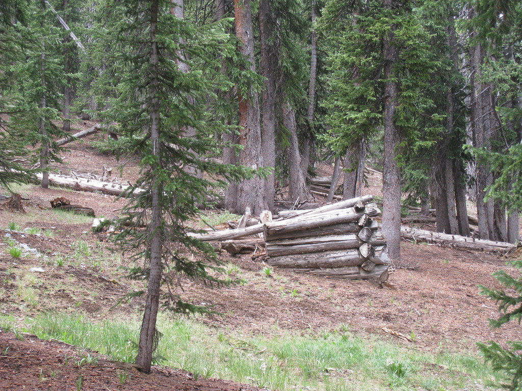 North Fork Big Wash TrailHiking · ~1h 23m drivePhoto: GSEC, CC BY 2.0 (via Flickr)
- Adt - Utah - R - Seg 6Hiking · Next door
 Camground Connector TrailHiking · ~1h 21m drivePhoto: Ken Lund, CC BY-SA 2.0 (via Flickr)
- Lehman Creek TrailheadHiking · ~1h 24m drive
Also worth it near here
Best time to visit Crystal Peak Road
Best months: May and September–October. Best months have typical highs of 55–85 °F, lows of 30 °F or warmer (32 °F where the station doesn't record snow), at most one snowy day and no more than 12 wet days.
Jan
45° / 14°
2 wet
Feb
51° / 20°
3 wet
Mar
63° / 25°
3 wet
Apr
68° / 30°
4 wet
May
78° / 39°
3 wet
Jun
89° / 49°
3 wet
Jul
96° / 57°
3 wet
Aug
94° / 55°
4 wet
Sep
85° / 45°
3 wet
Oct
73° / 32°
3 wet
Nov
58° / 20°
3 wet
Dec
47° / 13°
2 wet
Typical high / low (°F) and days with rain or snow, 1991–2020. Measured at Wah Wah Rch, UT, 14.5 mi away at 4,880 ft. This station doesn't record snowfall. Source: NOAA NCEI U.S. Climate Normals 1991–2020.

Map and trail data © OpenStreetMap contributors
