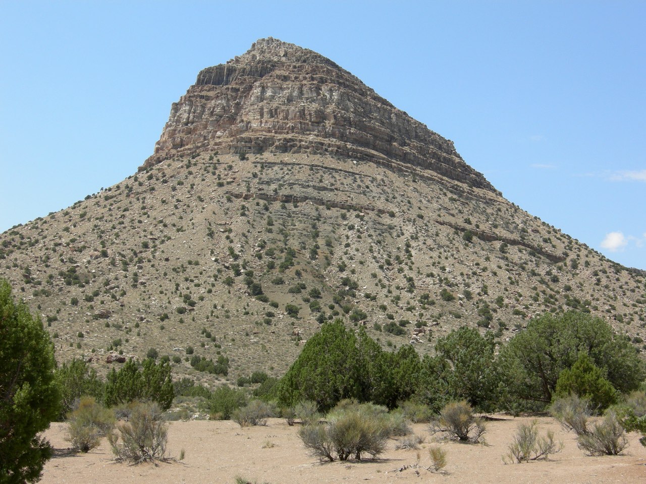
Fossil Mountain
About
Fossil Mountain is a summit of about 6,639 feet in Millard County, Utah, on land managed by the Bureau of Land Management's Fillmore Field Office. The nearest town is Ibex, about 1.5 miles away. For comfortable weather, aim for late spring or early fall. Typical averages from a nearby weather station show May highs around 65°F and September highs around 73°F, with lows near 41°F and 51°F. July is the warmest month, with highs in the mid-80s. Climbers will find Warm Point about 1.7 miles away and Cape, The about 1.9 miles away. Topus Mountain and Ibextopia are both within about 8 miles.
Summit Facts
Summit elevation
6,639 ft
Land manager
Bureau of Land Management
Elevation from USGS 3D Elevation Program terrain data (about 10 m resolution).
Location
Fossil Mountain
Utah
Name and location: U.S. Geological Survey, Geographic Names Information System (GNIS). Elevation: USGS 3D Elevation Program. View the GNIS record.
Facts about this place
When to go
Best time to go: May–Oct. The mildest months here, with typical highs of 60–85°F and lows of 38–60°F.
Typical monthly averages (not a forecast) from the Baker 5 W, NV weather station, 41 mi away. High / low in °F.
- Jan39° high21° low
- Feb40° high22° low
- Mar49° high29° low
- Apr55° high34° low
- May65° high41° low
- Jun77° high52° low
- Jul85° high60° low
- Aug83° high59° low
- Sep73° high51° low
- Oct60° high38° low
- Nov46° high28° low
- Dec39° high20° low
Where it is
- Fillmore Field Office · Bureau of Land Management
- Nearest town
- Ibex, Utah · 1.5 mi
- Managed by
- Bureau of Land Management
Nearby
- Warm PointRock climbing1.7 mi
- Cape, TheRock climbing1.9 mi
- Topus MountainRock climbing7.5 mi
- Topus BoulderRock climbing7.5 mi
- IbextopiaRock climbing8.1 mi
- IbexRock climbing8.2 mi
- BoulderingRock climbing8.5 mi
- Adt - Utah - R - Seg 6Hiking8.7 mi
Source: Roamze catalog (indexable pages within 10 miles, PostGIS distance)
