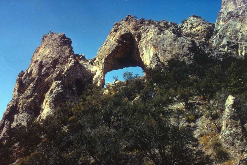
Lehman Creek Trailhead
 Photo: NPS / public domain
- 3.3 mi
- round trip
- 2,197 ft
- climb
- 9,830 ft
- high point
- Out and back
- route
Is Lehman Creek Trailhead open right now?
Closure in the area
There's a closure order in Great Basin National Park. It doesn't name Lehman Creek Trailhead, so check the source for the area it covers (2 listed).
Wheeler Peak Scenic Drive Winter Closure
Park closure covering Great Basin National Park · NPS · Great Basin National Park
Prescribed Fire Area Closure - Baker Creek
Park closure covering Great Basin National Park · NPS · Great Basin National Park
As of · Source: NPS · Great Basin National Park. Agencies don't list every closure — check before you go.
Lehman Creek Trailhead is a trailhead in Great Basin National Park in Nevada, managed by the National Park Service. The route is an out-and-back of about 6.5 miles, with a total elevation gain of about 2,197 feet. The climb is front-loaded, with the steepest stretch at about 1.2 miles in, and the high point reaches about 9,830 feet. The trail starts at about 7,793 feet and ends at a similar elevation, so the round trip involves about 2,197 feet of climbing and the same amount of descent. The route is rated moderate, and the steepest grade reaches about 21 percent. Restrooms are available at the trailhead, and the trail is not accessible. Dogs are not allowed. The trip takes about 3.5 hours. The Osceola Ditch Trail and the Lower Lehman Trail both start within a mile, and the Osceola Ditch Trailhead is about 1.2 miles away. The Wheeler Peak Summit Trail is about 2.7 miles off.
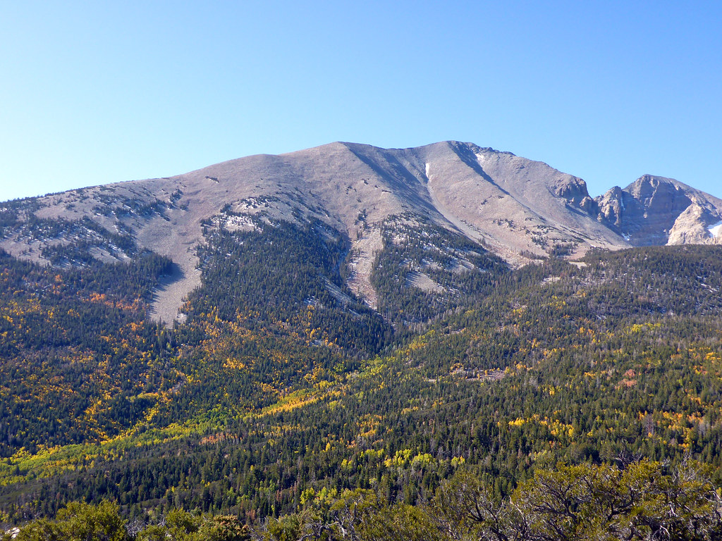 Osceola Ditch TrailHikingPhoto: simonov, CC BY-SA 2.0 (via Flickr)0.7 mi
 Lower Lehman TrailHikingPhoto: paulinkenbrandt, CC BY-SA 2.0 (via Flickr)0.8 mi
 Osceola Ditch TrailheadHikingPhoto: Seth Tisue, CC BY-SA 2.0 (via Flickr)1.2 mi
- Mountain View Nature TrailHiking1.9 mi
 Camground Connector TrailHikingPhoto: Ken Lund, CC BY-SA 2.0 (via Flickr)2 mi
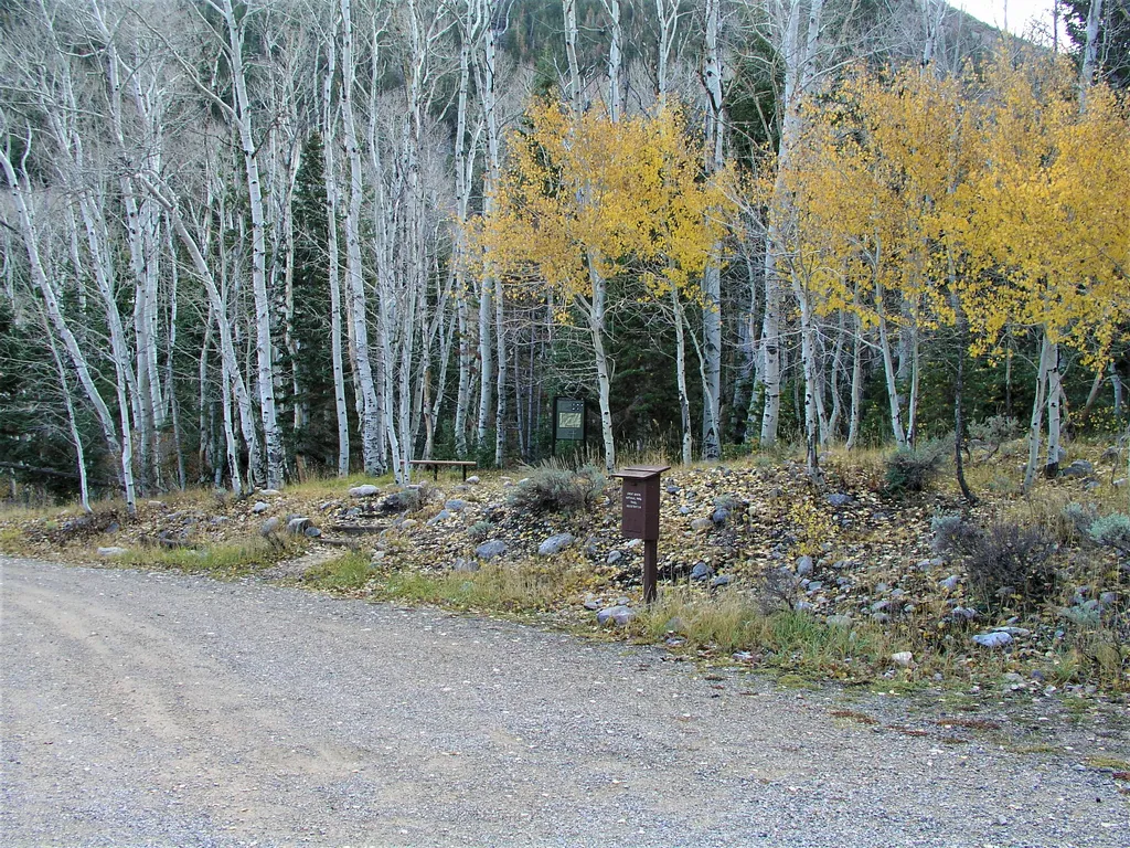 Baker Creek TrailheadHikingPhoto: NPS / public domain2.6 mi
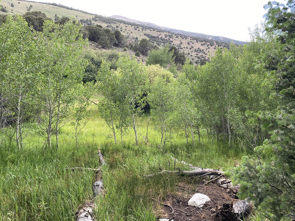 Timber Creek TrailHikingPhoto: Ken Lund, CC BY-SA 2.0 (via Flickr)2.6 mi
 Wheeler Peak Summit TrailHikingPhoto: Seth Tisue, CC BY-SA 2.0 (via Flickr)2.7 mi
Source: Roamze catalog (indexable pages within 10 miles, PostGIS distance)
- Osceola Ditch TrailHiking · ~1 min drivePhoto: simonov, CC BY-SA 2.0 (via Flickr)
- Lower Lehman TrailHiking · ~1 min drivePhoto: paulinkenbrandt, CC BY-SA 2.0 (via Flickr)
- Baker Creek TrailheadHiking · ~4 min drive
- Timber Creek TrailHiking · ~4 min drivePhoto: Ken Lund, CC BY-SA 2.0 (via Flickr)
- Osceola Ditch TrailheadHiking · ~2 min drivePhoto: Seth Tisue, CC BY-SA 2.0 (via Flickr)
 Osceola Ditch TrailHiking · ~2 min drivePhoto: paulinkenbrandt, CC BY-SA 2.0 (via Flickr)
- Wheeler PeakHiking · ~5 min drivePhoto: Seth Tisue, CC BY-SA 2.0 (via Flickr)
- Snake Divide TrailHiking · ~11 min drive
- Baker Meadows TrailHiking · ~5 min drivePhoto: Ken Lund, CC BY-SA 2.0 (via Flickr)
- Camground Connector TrailHiking · ~3 min drivePhoto: Ken Lund, CC BY-SA 2.0 (via Flickr)