Adt - Utah - R - Seg 6
- 15.7 mi
- round trip
- 345 ft
- climb
- 5,018 ft
- high point
- Out and back
- route
- May, Sep–Oct
- best months
Adt - Utah - R - Seg 6 is a long, hard hike in western Utah, on Bureau of Land Management land within the Fillmore Field Office. The route is an out-and-back of about 31.5 miles, with a one-way elevation gain of 345 feet, and it runs from a low point of 4,672 feet to a high of 5,018 feet. Spring and fall are the most comfortable times to go. Typical averages from a nearby weather station run to highs around 68°F in April and 73°F in October, while July averages 96°F. That station sits at a similar elevation, so temperatures on the trail run close to those figures. Crystal Peak Road, a hike about half a mile away, makes an easy pairing for a longer day on this stretch of BLM land.
Source: Roamze catalog (indexable pages within 10 miles, PostGIS distance)
- Pole Canyon TrailheadHiking · ~1h 20m drive
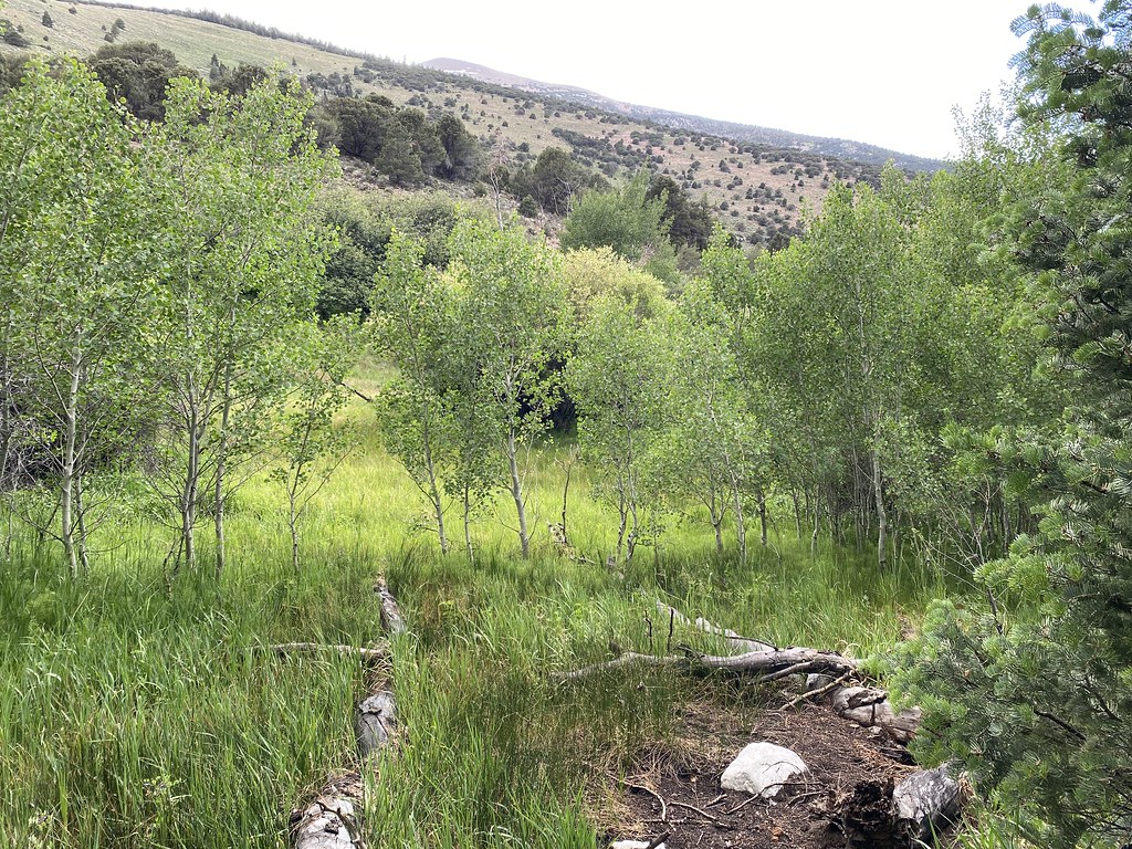 Pole Canyon TrailHiking · ~1h 22m drivePhoto: Ken Lund, CC BY-SA 2.0 (via Flickr)
- Baker Creek TrailheadHiking · ~1h 22m drive
- Timber Creek TrailHiking · ~1h 22m drivePhoto: Ken Lund, CC BY-SA 2.0 (via Flickr)
- Snake Creek TrailheadHiking · ~1h 21m drive
- Baker Meadows TrailHiking · ~1h 22m drivePhoto: Ken Lund, CC BY-SA 2.0 (via Flickr)
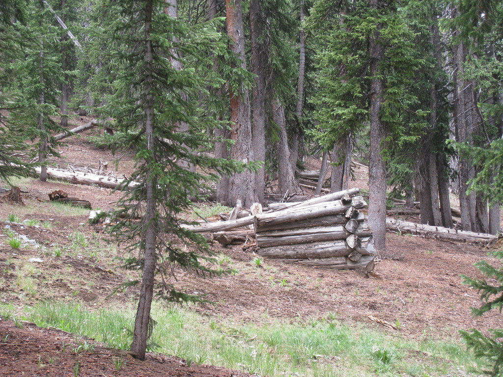 North Fork Big Wash TrailHiking · ~1h 23m drivePhoto: GSEC, CC BY 2.0 (via Flickr)
- Adt - Utah - R - Seg 6Hiking · ~44 min drive
 Camground Connector TrailHiking · ~1h 22m drivePhoto: Ken Lund, CC BY-SA 2.0 (via Flickr)
- Lehman Creek TrailheadHiking · ~1h 25m drive
Also worth it near here
Best time to visit Adt - Utah - R - Seg 6
Best months: May and September–October. Best months have typical highs of 55–85 °F, lows of 30 °F or warmer (32 °F where the station doesn't record snow), at most one snowy day and no more than 12 wet days.
Jan
45° / 14°
2 wet
Feb
51° / 20°
3 wet
Mar
63° / 25°
3 wet
Apr
68° / 30°
4 wet
May
78° / 39°
3 wet
Jun
89° / 49°
3 wet
Jul
96° / 57°
3 wet
Aug
94° / 55°
4 wet
Sep
85° / 45°
3 wet
Oct
73° / 32°
3 wet
Nov
58° / 20°
3 wet
Dec
47° / 13°
2 wet
Typical high / low (°F) and days with rain or snow, 1991–2020. Measured at Wah Wah Rch, UT, 14.1 mi away at 4,880 ft. This station doesn't record snowfall. Source: NOAA NCEI U.S. Climate Normals 1991–2020.

Map and trail data © OpenStreetMap contributors
