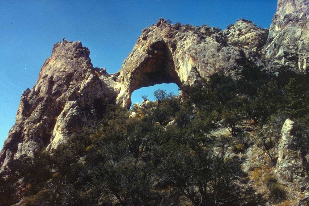
Snake Creek Trailhead
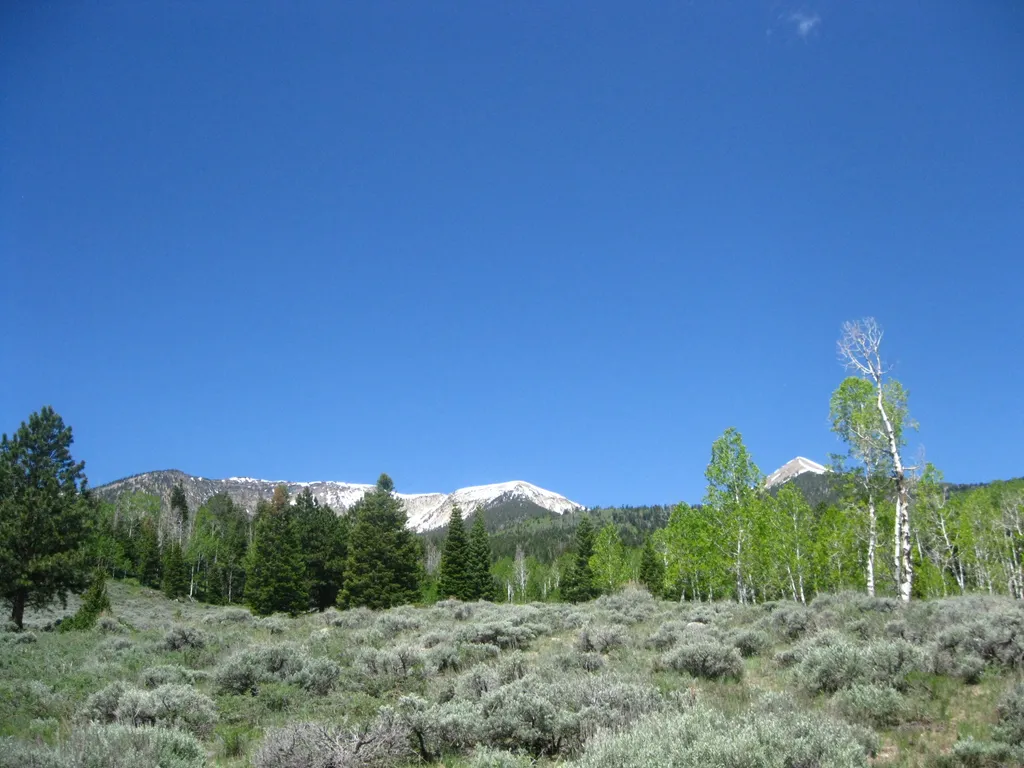 Photo: NPS / public domain
- 0.7 mi
- round trip
- 411 ft
- climb
- 8,514 ft
- high point
- Out and back
- route
Is Snake Creek Trailhead open right now?
Closure in the area
There's a closure order in Great Basin National Park. It doesn't name Snake Creek Trailhead, so check the source for the area it covers.
Wheeler Peak Scenic Drive Winter Closure
Park closure covering Great Basin National Park · NPS · Great Basin National Park
As of · Source: NPS · Great Basin National Park. Agencies don't list every closure — check before you go.
Snake Creek Trailhead is a trailhead in Great Basin National Park in Nevada, about 12 miles down Snake Creek Road. The National Park Service manages the land, and the trailhead gives access to several routes, including Shoshone Trail, Dead Lake Trail, Johnson Lake Trail and the ADA Shoshone Trail. These trails lead to aspen groves, sweeping views and mountain lakes. The trailhead has restrooms, and parking is limited. Follow all parking and driving regulations. Dogs are not allowed, and the site is not accessible. The climb to the high point is about 1.3 miles out and back, with a total gain of 411 feet. The steepest stretch comes early, around 0.22 miles in, with a grade of about 11 percent. Dead Lake Trail and Snake Overlook Loop Trail both start within about 0.2 miles. Johnson Lake Trail and Serviceberry Trailhead are each about 0.3 miles away.
Keep exploring — more trails worth the drive
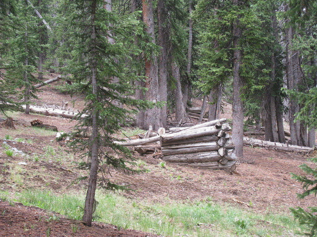 Photo: GSEC, CC BY 2.0 (via Flickr)
North Fork Big Wash Trail
~4 min drive
6.68-mile out-and-back trail in Nevada with 947 ft gain and 2,530 ft loss.
 Photo: Bas van Oorschot, CC BY-SA 3.0 (via Wikimedia Commons)
Baker Creek Loop Trail
~5 min drive
0.98-mile out-and-back out-and-back in Nevada with 358 ft elevation gain
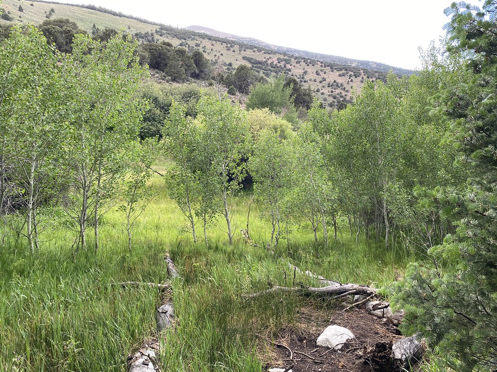 Photo: Ken Lund, CC BY-SA 2.0 (via Flickr)
Pole Canyon Trail
~5 min drive
7.08-mile out-and-back hike in Nevada with 2,110 ft elevation gain
Photo: Ken Lund, CC BY-SA 2.0 (via Flickr)Timber Creek Trail
~6 min drive
7.22-mile out-and-back trail in Nevada with 3,290 ft gain/loss and a max elevation of 9,859 ft.
 Photo: cm195902, CC BY 2.0 (via Flickr)
Highland Ridge Route
~5 min drive
18.18-mile out-and-back trail in Nevada with 6,859 ft elevation gain/loss
Photo: GSEC, CC BY 2.0 (via Flickr)Lincoln Cirque Trail
~5 min drive
2.9-mile out-and-back hike to Lincoln Cirque in Nevada with 704 ft gain.
Photo: Ken Lund, CC BY-SA 2.0 (via Flickr)Baker Meadows Trail
~6 min drive
5.32-mile out-and-back hike in Nevada with 1,667 ft elevation gain/loss.
HIKE
Johnson Lake Trail
Next door
7.74-mile out-and-back trail in Nevada with 3,206 ft elevation gain
HIKE
Baker Creek Trailhead
~6 min drive
Located about three miles up the Baker Creek Road, the Baker Creek Trailhead has access to three trails; South Fork Baker trail, Timber Creek Trail, and Baker Lake. These trails venture through aspen groves and pine tree stands up to alpine lakes and meadows. Parking is limit…
 Photo: GSEC, CC BY 2.0 (via Flickr)
Highland Ridge Route
~6 min drive
Short out-and-back ridge hike with scenic Nevada views.