Atwine Cutoff Trail
- 1.9 mi
- round trip
- 859 ft
- climb
- 10,265 ft
- high point
- Out and back
- route
Is Atwine Cutoff Trail open right now?
Alert in the area
The Forest Service lists 2 alerts for Ashley National Forest.
Anvil Draw Boat Ramp Temporary Closure
Agency alert covering Ashley National Forest · Order 0401-26-01-03 · USFS · Ashley National Forest
Flaming Gorge Reservoir Water Levels
Agency alert covering Ashley National Forest · USFS · Ashley National Forest
As of · Source: USFS · Ashley National Forest. Agencies don't list every closure — check before you go.
Atwine Cutoff Trail is an easy out-and-back hike in the High Uintas Wilderness, part of the Roosevelt Ranger District of Ashley National Forest in Utah. The Forest Service manages the land, and the trail crosses wilderness boundaries, making it a short outing in remote country. The route is 3.8 miles long, with a total elevation gain and loss of about 859 feet. The trail starts at roughly 10,250 feet and reaches a high point of about 10,265 feet, so the climb is minimal, and the steepest stretch, a 34% grade, comes about 1.7 miles in. The round trip fits into a day of about 1.5 hours. The trail is close to several other destinations. Tworoose Pass and the Atwine Cutoff are each about 1.8 miles away. Brown Duck Trail is about 3 miles off, and the Moon Lake climbing area is about 3.8 miles away.
Local outfitters
- Midway Adventure Company48 mi away
- Rocky Mountain Outfitters49 mi away
Not on Roamze yet. Their page has how to reach them.
- ATWINE CUTOFFHiking1.8 mi
- Tworoose PassHiking1.8 mi
- Brown Duck TrailHiking3 mi
- Moon LakeRock climbing3.8 mi
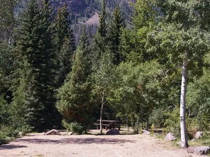 Rock Creek Group (UT)CampingPhoto: Recreation.gov (RIDB) / public domain6.3 mi
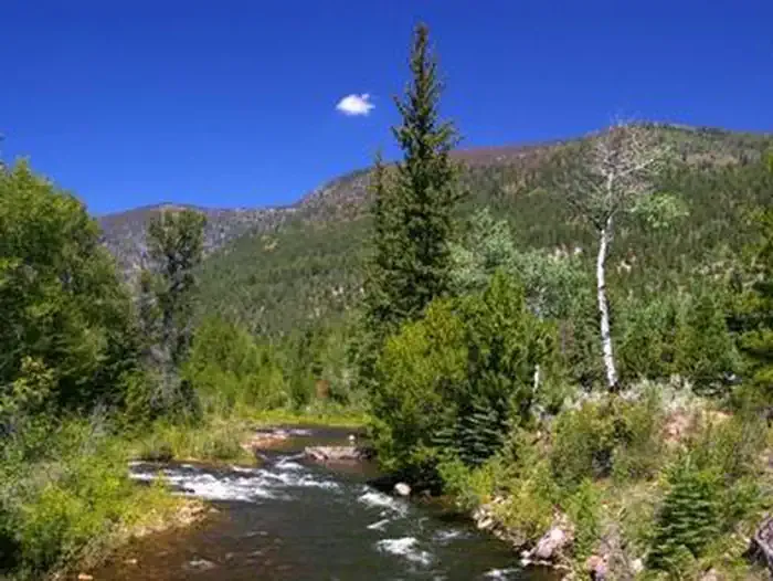 Miners GulchCampingPhoto: Recreation.gov (RIDB) / public domain6.3 mi
- Yellowstone CreekCanoeing9.4 mi
 Scout LakeRock climbingPhoto: John Sowell, CC BY-SA 4.0 (via Wikimedia Commons)9.6 mi
Source: Roamze catalog (indexable pages within 10 miles, PostGIS distance)
- ATWINE CUTOFFHiking · ~3 min drive
- Brown Duck TrailHiking · ~5 min drive
- Brown DuckHiking · ~5 min drive
- Tworoose PassHiking · ~5 min drive
- Tworoose PassHiking · ~3 min drive
- Lake Fork TrailHiking · ~7 min drive
- Lake ForkHiking · ~7 min drive
- Dry RidgeHiking · ~6 min drive
- Dry Ridge TrailHiking · ~6 min drive
- OttosonHiking · ~8 min drive
Also worth it near here


Map and trail data © OpenStreetMap contributors
