Dry Ridge Trail
- 2.4 mi
- round trip
- 1,022 ft
- climb
- 11,593 ft
- high point
- Out and back
- route
Is Dry Ridge Trail open right now?
Alert in the area
The Forest Service lists 2 alerts for Ashley National Forest.
Anvil Draw Boat Ramp Temporary Closure
Agency alert covering Ashley National Forest · Order 0401-26-01-03 · USFS · Ashley National Forest
Flaming Gorge Reservoir Water Levels
Agency alert covering Ashley National Forest · USFS · Ashley National Forest
As of · Source: USFS · Ashley National Forest. Agencies don't list every closure — check before you go.
Dry Ridge Trail is a moderate out-and-back hike in Utah's Ashley National Forest, within the Duchesne Ranger District. The route is about 4.8 miles long, and the trail gains about 1,022 feet over the course of the trip, with the high point at 11,593 feet. The climb is steady, and the steepest stretch comes around mile 2.3, where the grade reaches about 12 percent. The Forest Service manages the land, and the trail is part of the network of routes in this corner of Ashley National Forest. The trail starts near the Dry Ridge hike, which lies just 0.1 mile away. For timing, plan on about two hours for the round trip. The trail is open year-round, and the closest nearby places are Tworoose Pass, about a mile off, and the Upper Stillwater campground, roughly 3.9 miles away. Climbers can head to the Moon Lake climbing area, about 6.5 miles out, and anglers will find Carolyn Lake about 9.6 miles from the trail.
Local outfitters
- Midway Adventure Company44 mi away
- Rocky Mountain Outfitters45 mi away
Not on Roamze yet. Their page has how to reach them.
- Dry RidgeHiking0.1 mi
- Tworoose PassHiking1 mi
- LedgeHiking3.5 mi
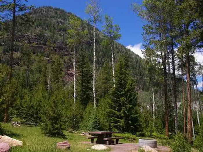 Upper StillwaterCampingPhoto: Recreation.gov (RIDB) / public domain3.9 mi
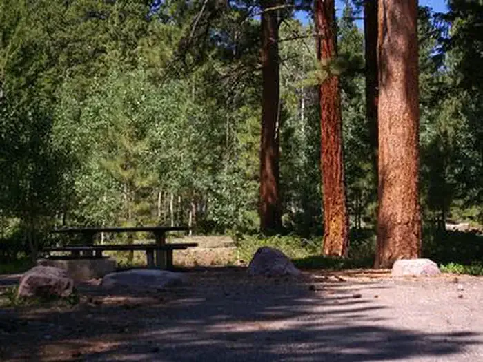 YellowpineCampingPhoto: Recreation.gov (RIDB) / public domain4.1 mi
- Moon LakeRock climbing6.5 mi
 Uinta MountainsRock climbingPhoto: Eugene Crosser, CC BY 3.0 (via Wikimedia Commons)9.5 mi
- Carolyn LakeLake fishing9.6 mi
Source: Roamze catalog (indexable pages within 10 miles, PostGIS distance)
- Tworoose PassHiking · ~2 min drive
- Tworoose PassHiking · ~4 min drive
- ROCK CREEKHiking · ~6 min drive
- Atwine Cutoff TrailHiking · ~6 min drive
- LedgeHiking · ~6 min drive
- Rock Creek TrailHiking · ~6 min drive
- Brown Duck TrailHiking · ~8 min drive
- Rock CreekHiking · ~7 min drive
- Two PondHiking · ~7 min drive
- ATWINE CUTOFFHiking · ~7 min drive
Map and trail data © OpenStreetMap contributors
