Utah · Lake fishing · Tabiona
X-75
Is X-75 open right now?
Alert in the area
The Forest Service lists 2 alerts for Ashley National Forest.
Anvil Draw Boat Ramp Temporary Closure
Agency alert covering Ashley National Forest · Order 0401-26-01-03 · USFS · Ashley National Forest
Flaming Gorge Reservoir Water Levels
Agency alert covering Ashley National Forest · USFS · Ashley National Forest
As of · Source: USFS · Ashley National Forest. Agencies don't list every closure — check before you go.
X-75 is a 7-acre pond near Tabiona, Utah, at about 10,460 feet. It is managed by the U.S. Forest Service.
Local outfitters
- Midway Adventure Company47 mi away
- Rocky Mountain Outfitters48 mi away
Not on Roamze yet. Their page has how to reach them.
- Atwine Cutoff TrailHiking1.2 mi
- Tworoose PassHiking2.3 mi
- ATWINE CUTOFFHiking2.9 mi
- Moon LakeRock climbing5.1 mi
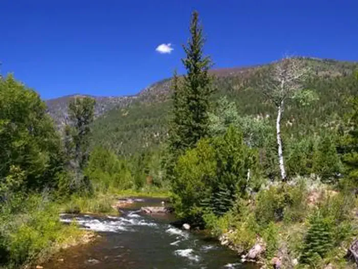 Miners GulchCampingPhoto: Recreation.gov (RIDB) / public domain6.7 mi
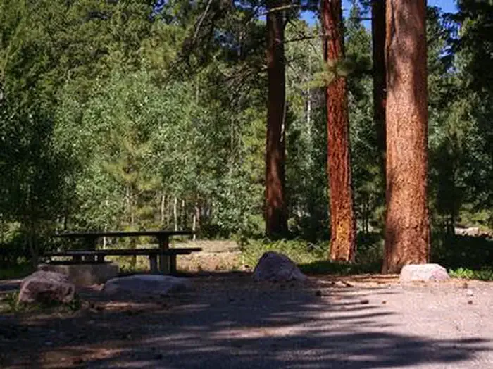 YellowpineCampingPhoto: Recreation.gov (RIDB) / public domain6.7 mi
 Explorer PeakSummitPhoto: Intermountain Forest Service, USDA Region 4 Photography, Public domain (via Wikimedia Commons)6.7 mi
- Upper Stillwater Boat RampBoat launch7 mi
Source: Roamze catalog (indexable pages within 10 miles, PostGIS distance)
- Twin LakesLake fishing · ~1 min drive
- Big Dog LakeLake fishing · ~5 min drive
- Cleveland LakeLake fishing · ~7 min drive
- Toquer LakeLake fishing · ~11 min drive
- Y-36Lake fishing · ~13 min drive
- Spider LakeLake fishing · ~14 min drive
- Y-31Lake fishing · ~14 min drive
- Doll LakeLake fishing · ~15 min drive
- Carolyn LakeLake fishing · ~18 min drive
- Evermann LakeLake fishing · ~20 min drive
Also worth it near here
- Atwine Cutoff TrailHiking · ~2 min drive
 Moon LakeCamping · ~10 min drivePhoto: damonras — CC BY 2.0 (via Flickr)
- Explorer PeakSummit · ~12 min drivePhoto: Intermountain Forest Service, USDA Region 4 Photography, Public domain (via Wikimedia Commons)
- Upper Stillwater Boat RampBoat launch · ~12 min drive
Similar waters
Like this spot? Try:

