Upper Stillwater Boat Ramp
- May–Sep
- best months
Is Upper Stillwater Boat Ramp open right now?
Alert in the area
The Forest Service lists 2 alerts for Ashley National Forest.
Anvil Draw Boat Ramp Temporary Closure
Agency alert covering Ashley National Forest · Order 0401-26-01-03 · USFS · Ashley National Forest
Flaming Gorge Reservoir Water Levels
Agency alert covering Ashley National Forest · USFS · Ashley National Forest
As of · Source: USFS · Ashley National Forest. Agencies don't list every closure — check before you go.
Upper Stillwater Boat Ramp is a boat launch in the Duchesne Ranger District of Ashley National Forest in northeastern Utah, about 14 miles from the town of Tabiona. It is a simple put-in with vault toilets as the only facility, and there is no fee to use it. Summer is the most comfortable time to visit. Typical averages from the nearby Moon Lake weather station show July and August highs around 77°F with lows near 48°F, while winter highs stay around freezing. Upper Stillwater campground sits just 0.4 miles away, and the Rock Creek hike is about half a mile off. Yellowpine campground is roughly 3 miles away, and the Duchesne River offers more paddling about 8 miles from the ramp.
- Launch type
- Boat ramp
- Fee
- No fee
- Restrooms
- Yes
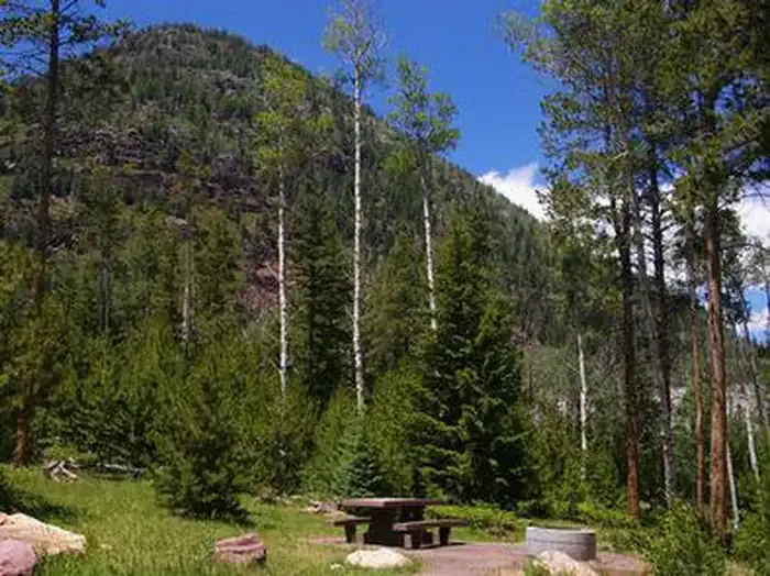 Upper StillwaterCampingPhoto: Recreation.gov (RIDB) / public domain0.4 mi
- Rock CreekHiking0.5 mi
- West Fork-Rock CreekHiking2.6 mi
- Rock Creek TrailHiking2.7 mi
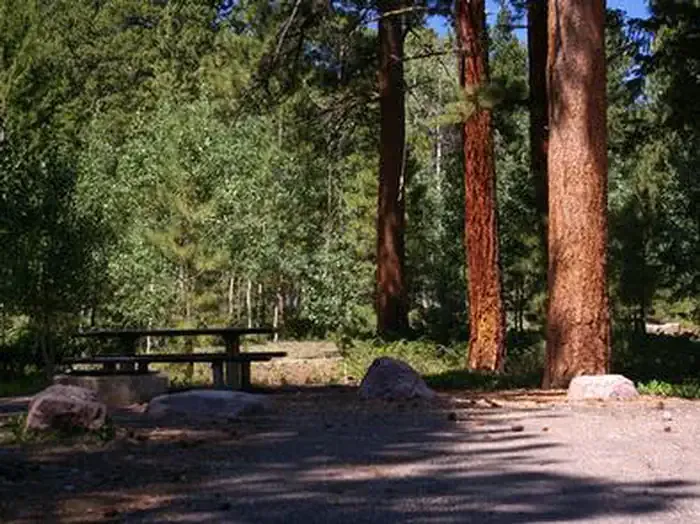 YellowpineCampingPhoto: Recreation.gov (RIDB) / public domain3.3 mi
- Duchesne RiverCanoeing7.8 mi
- Moon LakeRock climbing9.6 mi
- Carolyn LakeLake fishing9.7 mi
Source: Roamze catalog (indexable pages within 10 miles, PostGIS distance)
 Blacks ForkCanoeing · ~1h 17m drivePhoto: Paul Hermans, CC BY-SA 3.0 (via Wikimedia Commons)
- Currant Creek Boat RampBoat launch · ~42 min drive
 Diamond ForkCanoeing · ~1h 24m drivePhoto: An Errant Knight, CC BY-SA 4.0 (via Wikimedia Commons)
- Smith-Morehouse Angler Parking Boating SiteBoat launch · ~44 min drive
 Right Fork Hobble CreekCanoeing · ~1h 21m drivePhoto: An Errant Knight, CC BY-SA 4.0 (via Wikimedia Commons)
- Meek Cabin Boat RampBoat launch · ~56 min drive
- Duchesne RiverCanoeing · ~13 min drive
- Soldier Creek Boat RampBoat launch · ~57 min drive
- Yellowstone CreekCanoeing · ~29 min drive
- Aspen Boat RampBoat launch · ~60 min drive
Best time to visit Upper Stillwater Boat Ramp
Best months: May–September. Best months have typical highs of 55–85 °F, lows of 30 °F or warmer (32 °F where the station doesn't record snow), at most one snowy day and no more than 12 wet days.
Jan
31° / 7°
Feb
34° / 12°
Mar
41° / 18°
Apr
49° / 24°
May
59° / 33°
Jun
69° / 40°
Jul
77° / 48°
Aug
77° / 49°
Sep
67° / 41°
Oct
55° / 31°
Nov
40° / 22°
Dec
31° / 11°
Typical high / low (°F) and days with rain or snow, 1991–2020. Measured at Moon Lake, UT, 10.6 mi away at 8,125 ft. We don't have this place's elevation, so higher spots nearby can run cooler. This station doesn't record snowfall. Source: NOAA NCEI U.S. Climate Normals 1991–2020.
