Cottonwood Creek
- 18.9 mi
- distance
- 5,838 ft
- high point
- May–Oct
- best months
Clear at last check
Weather is good · OpenWeather · checked 16 h ago
Cottonwood Creek is a canoeing spot in California, about 1.1 miles from the town of Hilt. It sits close to the Oregon line, and the nearest town across the border is Pilot Rock, Oregon, about 5 miles away. Summer is the most comfortable time to paddle. Typical averages from a nearby weather station show July and August highs around 79°F with only two or three wet days a month, while winter brings highs in the mid-30s and regular snow days from December through February. Several other outdoor spots lie within a short drive. The PCT - Oregon Section B and the Pilot Rock hike are both about 5 miles away, and Mt Ashland campground is roughly 8 miles off. Beaver Creek, another canoeing route, is about 9.5 miles away.
Local outfitters
- Momentum River Expeditions16 mi away
- Noah's River Adventures16 mi away
Not on Roamze yet. Their page has how to reach them.
 Pct - Oregon Section BHikingPhoto: BLM Oregon & Washington, CC BY-SA 2.0 (via Flickr)4.7 mi
- Pilot RockHikingPhoto: BLM Oregon & Washington, CC BY-SA 2.0 (via Flickr)4.9 mi
 Lone Pilot TrailHikingPhoto: BLM Oregon & Washington, CC BY 2.0 (via Wikimedia Commons)6.4 mi
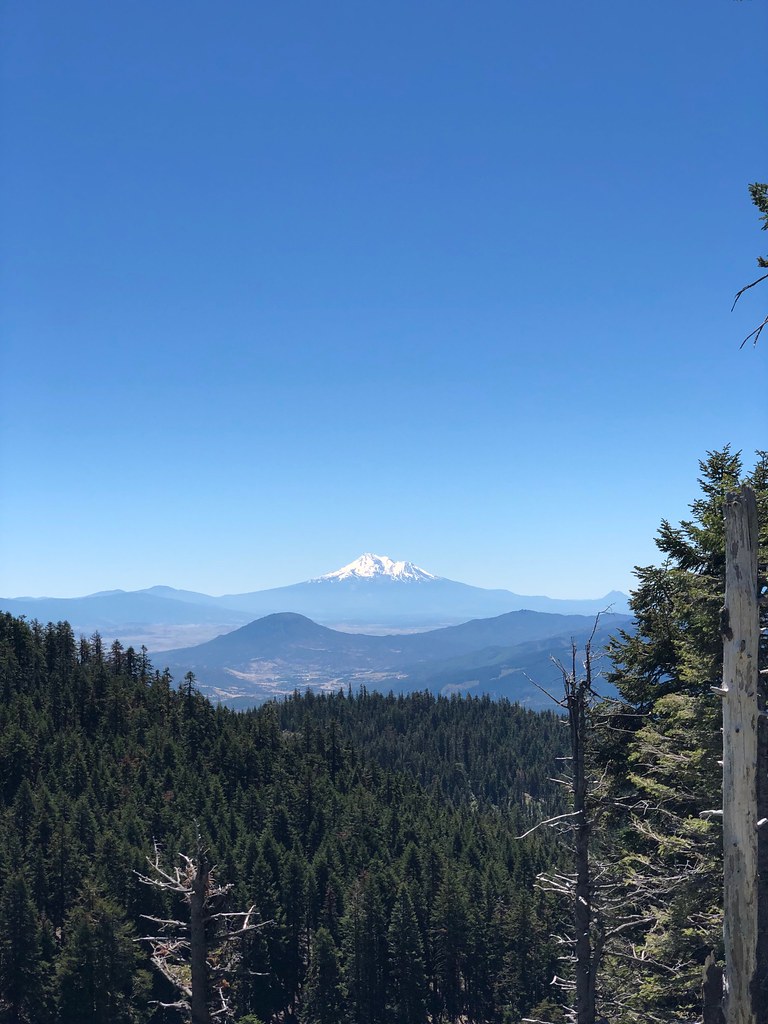 CREST LOOP NORDICHikingPhoto: zappowbang, CC BY-SA 2.0 (via Flickr)7 mi
- Bull Gap-NordicCross-country skiing7.1 mi
- Mt AshlandCamping7.8 mi
 Mt. Ashland's Dream BoulderRock climbingPhoto: james shaw, CC BY-SA 3.0 (via Wikimedia Commons)8.6 mi
- Beaver CreekCanoeing9.5 mi
Source: Roamze catalog (indexable pages within 10 miles, PostGIS distance)
 Klamath RiverCanoeing · ~25 min drivePhoto: Kid Cowboy, CC BY-SA 2.0 (via Wikimedia Commons)
- Skeahan Bar Boating SiteBoat launch · ~16 min drive
- Jackson Campground On The Applegate RiverStand up paddleboarding · ~43 min drive
- Sarah Totten CampgroundFloat trip · ~44 min drive
 Bear CreekCanoeing · ~35 min drivePhoto: ZabMilenko at English Wikipedia, Public domain (via Wikimedia Commons)
- Gottville River AccessBoat launch · ~18 min drive
- HART-TISH PARK at APPLEGATE LAKEStand up paddleboarding · ~43 min drive
- Juanita Lake Group CampsiteFloat trip · ~49 min drive
 Shasta RiverCanoeing · ~42 min drivePhoto: Marshman at en.wikipedia, CC BY-SA 3.0 (via Wikimedia Commons)
- Cascade Boat Ramp & DockBoat launch · ~27 min drive
Also worth it near here
- Chocolate FallsWaterfall · ~5 min drive
- Pct - Oregon Section BHiking · ~8 min drivePhoto: BLM Oregon & Washington, CC BY-SA 2.0 (via Flickr)
 Crest Loop NordicCross-country skiing · ~12 min drivePhoto: james shaw, CC BY-SA 3.0 (via Wikimedia Commons)
- PCT: Rrs SouthMountain biking · ~12 min drivePhoto: james shaw, CC BY-SA 3.0 (via Wikimedia Commons)
Best time to visit Cottonwood Creek
Best months: May–October. Best months have typical highs of 55–85 °F, lows of 30 °F or warmer (32 °F where the station doesn't record snow), at most one snowy day and no more than 12 wet days.
Jan
36° / 23°
15 wet · 9 snow
Feb
40° / 23°
14 wet · 8 snow
Mar
45° / 26°
16 wet · 8 snow
Apr
50° / 29°
13 wet · 4 snow
May
60° / 36°
11 wet · 1 snow
Jun
68° / 40°
5 wet
Jul
79° / 47°
3 wet
Aug
79° / 46°
2 wet
Sep
72° / 40°
4 wet
Oct
58° / 33°
8 wet · 1 snow
Nov
42° / 28°
13 wet · 5 snow
Dec
35° / 23°
15 wet · 9 snow
Typical high / low (°F) and days with rain or snow, 1991–2020. Measured at Howard Prairie Dam, OR, 21.5 mi away at 4,567 ft. The station sits about 1,300 ft lower than this place, so expect it a little cooler here. Source: NOAA NCEI U.S. Climate Normals 1991–2020.
