Battle Ax
- 5,559 ft
- summit
- 1
- way up
Is Battle Ax open right now?
Closure in the area
There's a closure order in Detroit Ranger District. It doesn't name Battle Ax, so check the source for the area it covers (3 listed).
Beachie Creek and Lionshead Fires Closure
Agency closure covering Detroit Ranger District · Order 06-18-04-26-14 · USFS · Detroit Ranger District
Beachie Creek and Lionshead Fires Closure
Agency closure covering Detroit Ranger District · Order 06-18-04-26-14 · USFS · Detroit Ranger District
Cedar Creek Fire Closure
Agency closure covering Willamette National Forest · Order 06-18-10-26-04 · USFS · Willamette National Forest
FIRE CLOSURES: Current wildfire closures on the Willamette National Forest
Agency alert covering Willamette National Forest · USFS · Willamette National Forest
As of · Source: USFS · Detroit Ranger District. Agencies don't list every closure — check before you go.
Battle Ax is a summit in the Bull of the Woods Wilderness, part of the Detroit Ranger District of Willamette National Forest in Oregon. The nearest town is Detroit, about 6 miles away. Hikers reach the top on nearby routes rather than a single listed trail, and several start within a short distance. The Battle Ax Mountain hike begins about 0.2 miles from the summit point, and Battle Ax Mountain Trail #3340 lies about 0.6 miles off. Beachie is a third hike roughly the same distance away. For an overnight base, Elk Lake Campground sits about 0.6 miles away. Paddlers can look to Battle Ax Creek, about 2 miles off, or the Little North Santiam River, roughly 3 miles away.
Conditions and forecast
Daily highs and lows, wind and the chance of precipitation at the summit and route start for the next 7 days, from the Open-Meteo model.
- Summit elevation
- 5,559 ft
Elevation from USGS 3D Elevation Program terrain data (about 10 m resolution).
Map © Mapbox © OpenStreetMap contributors Questions about Battle Ax
How tall is Battle Ax?
5,559 ft (1,694 m).
How many routes go to the summit of Battle Ax?
One: Battle Ax Mountain Trail #3340.
- Battle Ax MountainHiking0.2 mi
- Battle Ax Mountain Trail #3340Hiking0.6 mi
- BeachieHiking0.6 mi
- Elk Lake CampgroundCamping0.6 mi
- Battle Ax CreekCanoeing2.1 mi
- Humbug CreekCanoeing2.8 mi
- Little North Santiam RiverCanoeing3.2 mi
- Fox Creek Group SiteCamping5.3 mi
Source: Roamze catalog (indexable pages within 10 miles, PostGIS distance)
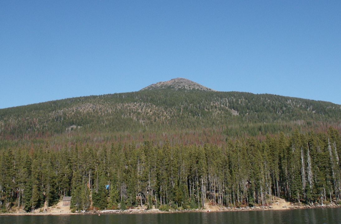 Olallie ButteSummit · ~32 min drivePhoto: M.O. Stevens at en.wikipedia, Public domain (via Wikimedia Commons)
 Mount JeffersonSummit · ~34 min drivePhoto: Jsayre64, CC BY-SA 3.0 (via Wikimedia Commons)
 Three Fingered JackSummit · ~48 min drivePhoto: Johannes Menzel, CC BY-SA 4.0 (via Wikimedia Commons)
- Byars PeakSummit · ~4 min drive
- Boulder PeakSummit · ~5 min drive
- Gold ButteSummit · ~5 min drive
- Whetstone MountainSummit · ~7 min drive
- Bull of the WoodsSummit · ~8 min drive
- Big Slide MountainSummit · ~10 min drive
- Sardine MountainSummit · ~12 min drive
Also worth it near here
- Elk LakeLake fishing · ~2 min drive
 Gold Butte LookoutHiking · ~5 min drivePhoto: U.S. Forest Service- Pacific Northwest Region, Public domain (via Wikimedia Commons)
- Twin LakesMountain biking · ~5 min drive
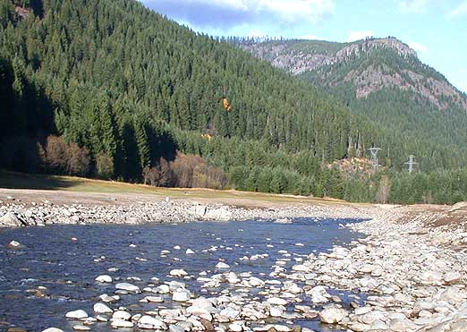 Breitenbush RiverCanoeing · ~9 min drivePhoto: Matthew Trump, CC BY-SA 3.0 (via Wikimedia Commons)
