Round Lake Christian Camp
Campground
Campground · 3.6 mi from the trail
 Photo: Johannes Menzel, CC BY-SA 4.0 (via Wikimedia Commons)
Closure in the area
There's a closure order in Deschutes National Forest. It doesn't name Three Fingered Jack, so check the source for the area it covers.
West Bend Area Trail Closures
Agency closure covering Deschutes National Forest · USFS · Deschutes National Forest
Camping & Campfire Restrictions Forest Order
Agency alert covering Deschutes National Forest · Order 06-01-26-01 · USFS · Deschutes National Forest
Cave Resource Protection Forest Order
Agency alert covering Deschutes National Forest · Order 06-01-26-02 · USFS · Deschutes National Forest
Deschutes 14-Day Camping Order
Agency alert covering Deschutes National Forest · Order 06-01-25-01 · USFS · Deschutes National Forest
Wilderness Permit, Camping & Fire Restrictions Order
Agency alert covering Deschutes National Forest · Order 06-01-24-01 · USFS · Deschutes National Forest
As of · Source: USFS · Deschutes National Forest. Agencies don't list every closure — check before you go.
Three Fingered Jack is a summit in the Mount Jefferson Wilderness of Oregon, within the Sisters Ranger District of the Deschutes National Forest. The nearest town is Camp Sherman, about 10 miles away. Check both before you go. The Three-Fingered Jack Climbers Trail starts about half a mile from the summit. Glacier View and the Summit Lake Spur trails are each a little over a mile away. If you want a base for the trip, Lost Lake campground sits about 5 miles off, and Suttle Lake, about 6.5 miles away, offers fishing.
Round Lake Christian Camp
Campground
Kiwanis club
Attraction
Places © OpenStreetMap contributors
More in SistersDaily highs and lows, wind and the chance of precipitation at the summit for the next 7 days, from the Open-Meteo model.
Elevation from USGS 3D Elevation Program terrain data (about 10 m resolution).
We don't know of a mapped trail or route to the summit of Three Fingered Jack. Plan the approach with local maps, a guidebook or a local guide, and check conditions before you go.
7,848 ft (2,392 m).
We don't know of a mapped trail or route to the summit. Plan the approach with local maps, a guidebook or a local guide.
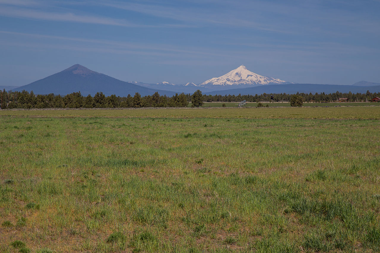
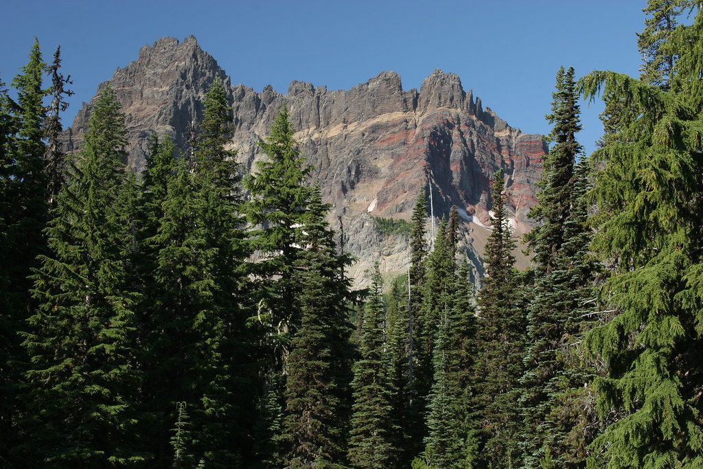 Three-Fingered Jack Climbers TrailHikingPhoto: Forest Service Pacific Northwest Region, Public Domain Mark (via Flickr)0.5 mi
 Link CreekCampingPhoto: Recreation.gov (RIDB) / public domain6.2 mi
Source: Roamze catalog (indexable pages within 10 miles, PostGIS distance)
 Hayrick ButteSummit · ~10 min drivePhoto: Jsayre64, CC BY-SA 3.0 (via Wikimedia Commons)
 Mount WashingtonSummit · ~17 min drivePhoto: Lyn Topinka, USGS, Public domain (via Wikimedia Commons)Black ButteSummit · ~20 min drivePhoto: Johnny.m76, CC BY 3.0 (via Wikimedia Commons)
 Mount JeffersonSummit · ~23 min drivePhoto: Jsayre64, CC BY-SA 3.0 (via Wikimedia Commons)
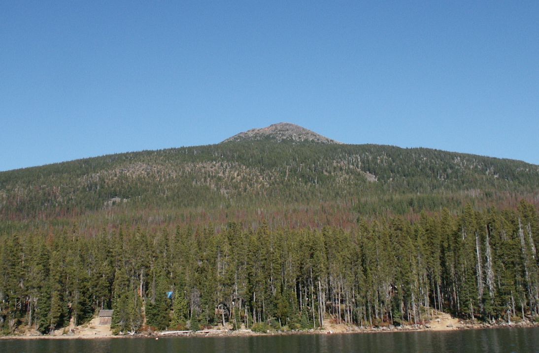 Olallie ButteSummit · ~41 min drivePhoto: M.O. Stevens at en.wikipedia, Public domain (via Wikimedia Commons)
 Hogg RockSummit · ~7 min drivePhoto: Tedder (talk · contribs), CC BY 3.0 (via Wikimedia Commons)
 Hoodoo ButteSummit · ~10 min drivePhoto: Rvannatta, CC BY-SA 3.0 (via Wikimedia Commons)
Also worth it near here
Three-Fingered Jack Climbers TrailHiking · Next doorPhoto: Forest Service Pacific Northwest Region, Public Domain Mark (via Flickr) Duffy PrairieMountain biking · ~5 min drivePhoto: U.S. Forest Service- Pacific Northwest Region, Public domain (via Wikimedia Commons)
