Lost Lake
Campground
Campground · 2.1 mi from the trail
 Photo: Tedder (talk · contribs), CC BY 3.0 (via Wikimedia Commons)
Closure in the area
There's a closure order in Willamette National Forest. It doesn't name Hogg Rock, so check the source for the area it covers.
Cedar Creek Fire Closure
Agency closure covering Willamette National Forest · Order 06-18-10-26-04 · USFS · Willamette National Forest
FIRE CLOSURES: Current wildfire closures on the Willamette National Forest
Agency alert covering Willamette National Forest · USFS · Willamette National Forest
As of · Source: USFS · Willamette National Forest. Agencies don't list every closure — check before you go.
Hogg Rock is a summit of 5,105 feet in the McKenzie River Ranger District of Oregon's Willamette National Forest, about 11 miles from the community of Black Butte Ranch. Summer is the most comfortable time to visit. Typical averages from a nearby weather station at Santiam Junction show July and August highs around 76°F with lows near 42°F, while winter highs there stay in the upper 30s. That station sits roughly 1,350 feet below the summit, so temperatures on top run cooler. Several short loops start within half a mile, including Sheep Springs Loop, Black Jack Loop and Hogg Meadow Loop. Lost Lake campground is about 2 miles away, and the Oregon Volcanoes climbing area is about 2 miles off.
Lost Lake
Campground
Kiwanis club
Attraction
Places © OpenStreetMap contributors
More in SistersDaily highs and lows, wind and the chance of precipitation at the summit for the next 7 days, from the Open-Meteo model.
Elevation from USGS 3D Elevation Program terrain data (about 10 m resolution).
We don't know of a mapped trail or route to the summit of Hogg Rock. Plan the approach with local maps, a guidebook or a local guide, and check conditions before you go.
5,105 ft (1,556 m).
We don't know of a mapped trail or route to the summit. Plan the approach with local maps, a guidebook or a local guide.
Source: Roamze catalog (indexable pages within 10 miles, PostGIS distance)
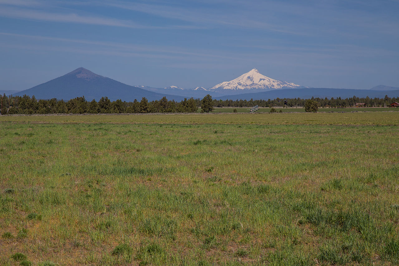
 Hayrick ButteSummit · ~3 min drivePhoto: Jsayre64, CC BY-SA 3.0 (via Wikimedia Commons)
 Mount WashingtonSummit · ~11 min drivePhoto: Lyn Topinka, USGS, Public domain (via Wikimedia Commons)Black ButteSummit · ~20 min drivePhoto: Johnny.m76, CC BY 3.0 (via Wikimedia Commons)
 Mount JeffersonSummit · ~31 min drivePhoto: Jsayre64, CC BY-SA 3.0 (via Wikimedia Commons)
 Broken TopSummit · ~43 min drivePhoto: Public domain (via Wikimedia Commons)
 Ball ButteSummit · ~45 min drivePhoto: U.S. Forest Service- Pacific Northwest Region, Public domain (via Wikimedia Commons)
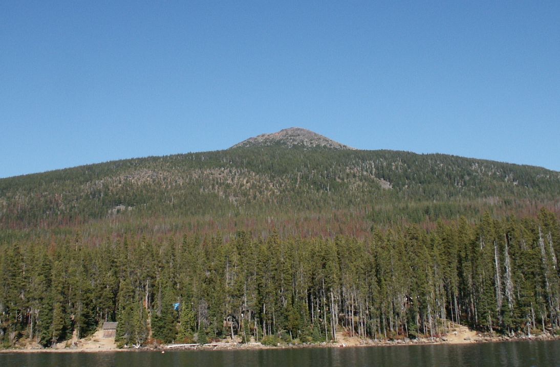 Olallie ButteSummit · ~48 min drivePhoto: M.O. Stevens at en.wikipedia, Public domain (via Wikimedia Commons)
 Hoodoo ButteSummit · ~2 min drivePhoto: Rvannatta, CC BY-SA 3.0 (via Wikimedia Commons)
 Three Fingered JackSummit · ~7 min drivePhoto: Johannes Menzel, CC BY-SA 4.0 (via Wikimedia Commons)
Best months: May–October. Best months have typical highs of 55–85 °F, lows of 30 °F or warmer (32 °F where the station doesn't record snow), at most one snowy day and no more than 12 wet days.
Jan
38° / 24°
Feb
41° / 24°
Mar
44° / 26°
Apr
49° / 29°
May
58° / 35°
Jun
65° / 38°
Jul
76° / 42°
Aug
76° / 42°
Sep
69° / 39°
Oct
56° / 33°
Nov
42° / 28°
Dec
36° / 23°
Typical high / low (°F) and days with rain or snow, 1991–2020. Measured at Santiam Junction, OR, 3.6 mi away at 3,750 ft. The station sits about 1,400 ft lower than this place, so expect it a little cooler here. This station doesn't record snowfall. Source: NOAA NCEI U.S. Climate Normals 1991–2020.

