Bear Point
- 6,042 ft
- summit
- 1
- way up
Is Bear Point open right now?
Closure in the area
There's a closure order in Detroit Ranger District. It doesn't name Bear Point, so check the source for the area it covers (3 listed).
Beachie Creek and Lionshead Fires Closure
Agency closure covering Detroit Ranger District · Order 06-18-04-26-14 · USFS · Detroit Ranger District
Beachie Creek and Lionshead Fires Closure
Agency closure covering Detroit Ranger District · Order 06-18-04-26-14 · USFS · Detroit Ranger District
Cedar Creek Fire Closure
Agency closure covering Willamette National Forest · Order 06-18-10-26-04 · USFS · Willamette National Forest
FIRE CLOSURES: Current wildfire closures on the Willamette National Forest
Agency alert covering Willamette National Forest · USFS · Willamette National Forest
As of · Source: USFS · Detroit Ranger District. Agencies don't list every closure — check before you go.
Bear Point is a summit in Oregon's Mount Jefferson Wilderness, part of the Detroit Ranger District of Willamette National Forest. The nearest town is Idanha, about 12 miles away. Several Breitenbush drainages sit close by. The South Fork North Fork Breitenbush River is about a mile away, and the Crag and Crown Lake hikes are each roughly two miles off. For camping, Breitenbush Lake campground is about 3.5 miles from the summit.
Conditions and forecast
Daily highs and lows, wind and the chance of precipitation at the summit and route start for the next 7 days, from the Open-Meteo model.
- Summit elevation
- 6,042 ft
Elevation from USGS 3D Elevation Program terrain data (about 10 m resolution).
Map © Mapbox © OpenStreetMap contributors Questions about Bear Point
How tall is Bear Point?
6,042 ft (1,842 m).
How many routes go to the summit of Bear Point?
One: Bear Point.
When is the best time to climb Bear Point?
Year-round.
- South Fork North Fork Breitenbush RiverCanoeing1.2 mi
- South Fork Breitenbush RiverCanoeing1.7 mi
- CragHiking1.9 mi
- Crown LakeHiking1.9 mi
- South BreitenbushHiking2 mi
 North Fork Breitenbush RiverCanoeingPhoto: EncMstr, CC BY-SA 3.0 (via Wikimedia Commons)3 mi
- Breitenbush LakeCamping3.5 mi
- Horseshoe Lake (Olallie)Camping3.8 mi
Source: Roamze catalog (indexable pages within 10 miles, PostGIS distance)
 Mount JeffersonSummit · ~10 min drivePhoto: Jsayre64, CC BY-SA 3.0 (via Wikimedia Commons)
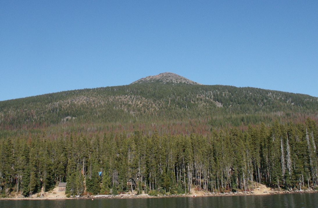 Olallie ButteSummit · ~11 min drivePhoto: M.O. Stevens at en.wikipedia, Public domain (via Wikimedia Commons)
 Hayrick ButteSummit · ~42 min drivePhoto: Jsayre64, CC BY-SA 3.0 (via Wikimedia Commons)
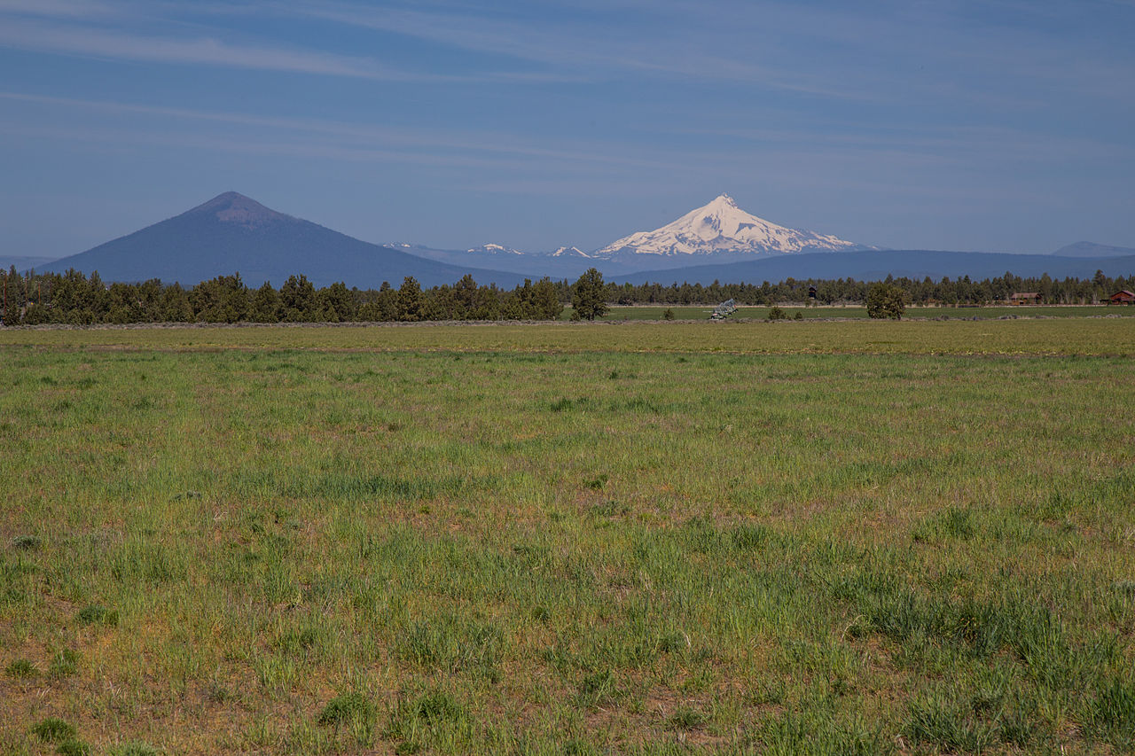 Black ButteSummit · ~45 min drivePhoto: Johnny.m76, CC BY 3.0 (via Wikimedia Commons)
 Three Fingered JackSummit · ~32 min drivePhoto: Johannes Menzel, CC BY-SA 4.0 (via Wikimedia Commons)
 Hogg RockSummit · ~39 min drivePhoto: Tedder (talk · contribs), CC BY 3.0 (via Wikimedia Commons)
 Hoodoo ButteSummit · ~41 min drivePhoto: Rvannatta, CC BY-SA 3.0 (via Wikimedia Commons)
- Pyramid ButteSummit · ~4 min drive
- Double PeaksSummit · ~6 min drive
- Devils PeakSummit · ~8 min drive

