Todd Creek Horse Camp
Campground
Campground · 2.7 mi from the trail
 Photo: DimiTalen, CC BY-SA 3.0 (via Wikimedia Commons)
Closure in the area
There's a closure order in Deschutes National Forest. It doesn't name Mount Bachelor, so check the source for the area it covers (3 listed).
West Bend Area Trail Closures
Agency closure covering Deschutes National Forest · USFS · Deschutes National Forest
West Bend IRSC- Area, Road and Trail Closure
Agency closure covering Bend/Fort Rock Ranger District · Order 06-01-01-26-03 · USFS · Bend/Fort Rock Ranger District
Cabin Butte Area Closure
Agency closure covering Bend/Fort Rock Ranger District · Order 06-01-01-26-01 · USFS · Bend/Fort Rock Ranger District
Camping & Campfire Restrictions Forest Order
Agency alert covering Deschutes National Forest · Order 06-01-26-01 · USFS · Deschutes National Forest
Cave Resource Protection Forest Order
Agency alert covering Deschutes National Forest · Order 06-01-26-02 · USFS · Deschutes National Forest
As of · Source: USFS · Deschutes National Forest. Agencies don't list every closure — check before you go.
Mount Bachelor is a summit in Oregon's Deschutes National Forest, within the Bend/Fort Rock Ranger District. The nearest town is Sunriver, about 14 miles away. Several hikes start close by. West Ridge is less than half a mile away, and Northwest Crossover is about 0.7 miles off. For an overnight, Soda Creek campground sits roughly 4 miles away. Hosmer Lake, a fishing spot, is just under 5 miles out.
Todd Creek Horse Camp
Campground
Clearing Rock Bar
Pub
Clearwater Gallery
Gallery
Places © OpenStreetMap contributors
More in SistersDaily highs and lows, wind and the chance of precipitation at the summit and route start for the next 7 days, from the Open-Meteo model.
Elevation from USGS 3D Elevation Program terrain data (about 10 m resolution).
| Mount Bachelor Trail | West Ridge | Summit East | |
|---|---|---|---|
| Climbing | About 2,857 ft | About 1,179 ft | About 1,771 ft |
| Round trip | 6.5 mi | 2.6 mi | 3.2 mi |
| Difficulty | Hard | Moderate | Moderate |
| Terrain | Hike | Hike | Hike |
| Season | — | April 1 – October 31 | April 1 – October 31 |
9,070 ft (2,765 m).
3: Mount Bachelor Trail, West Ridge and Summit East.
West Ridge, about 2.6 mi round trip.
April 1 – October 31.

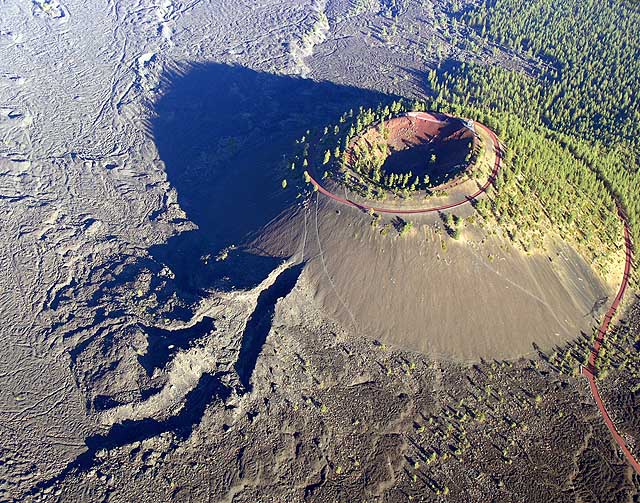
 West RidgeHikingPhoto: Kris Arnold from New York, USA, CC BY-SA 2.0 (via Wikimedia Commons)0.4 miNorthwest CrossoverHikingPhoto: Kris Arnold from New York, USA, CC BY-SA 2.0 (via Wikimedia Commons)0.7 miRope TowHikingPhoto: Kris Arnold from New York, USA, CC BY-SA 2.0 (via Wikimedia Commons)0.7 mi
 Soda CreekCampingPhoto: Bonnie Moreland (free images) — Public Domain Mark 1.0 (via Flickr)3.7 mi
Source: Roamze catalog (indexable pages within 10 miles, PostGIS distance)
 Tumalo MountainSummit · ~5 min drivePhoto: Jsayre64, CC BY-SA 3.0 (via Wikimedia Commons)
 Ball ButteSummit · ~10 min drivePhoto: U.S. Forest Service- Pacific Northwest Region, Public domain (via Wikimedia Commons)Broken TopSummit · ~12 min drivePhoto: Public domain (via Wikimedia Commons)
 Pilot ButteSummit · ~36 min drivePhoto: Cacophony, CC BY-SA 3.0 (via Wikimedia Commons)
 Mount WashingtonSummit · ~44 min drivePhoto: Lyn Topinka, USGS, Public domain (via Wikimedia Commons)
 Cline ButtesSummit · ~46 min drivePhoto: Orygun, CC BY-SA 4.0 (via Wikimedia Commons)
 Maiden PeakSummit · ~48 min drivePhoto: Jsayre64, CC BY-SA 3.0 (via Wikimedia Commons)
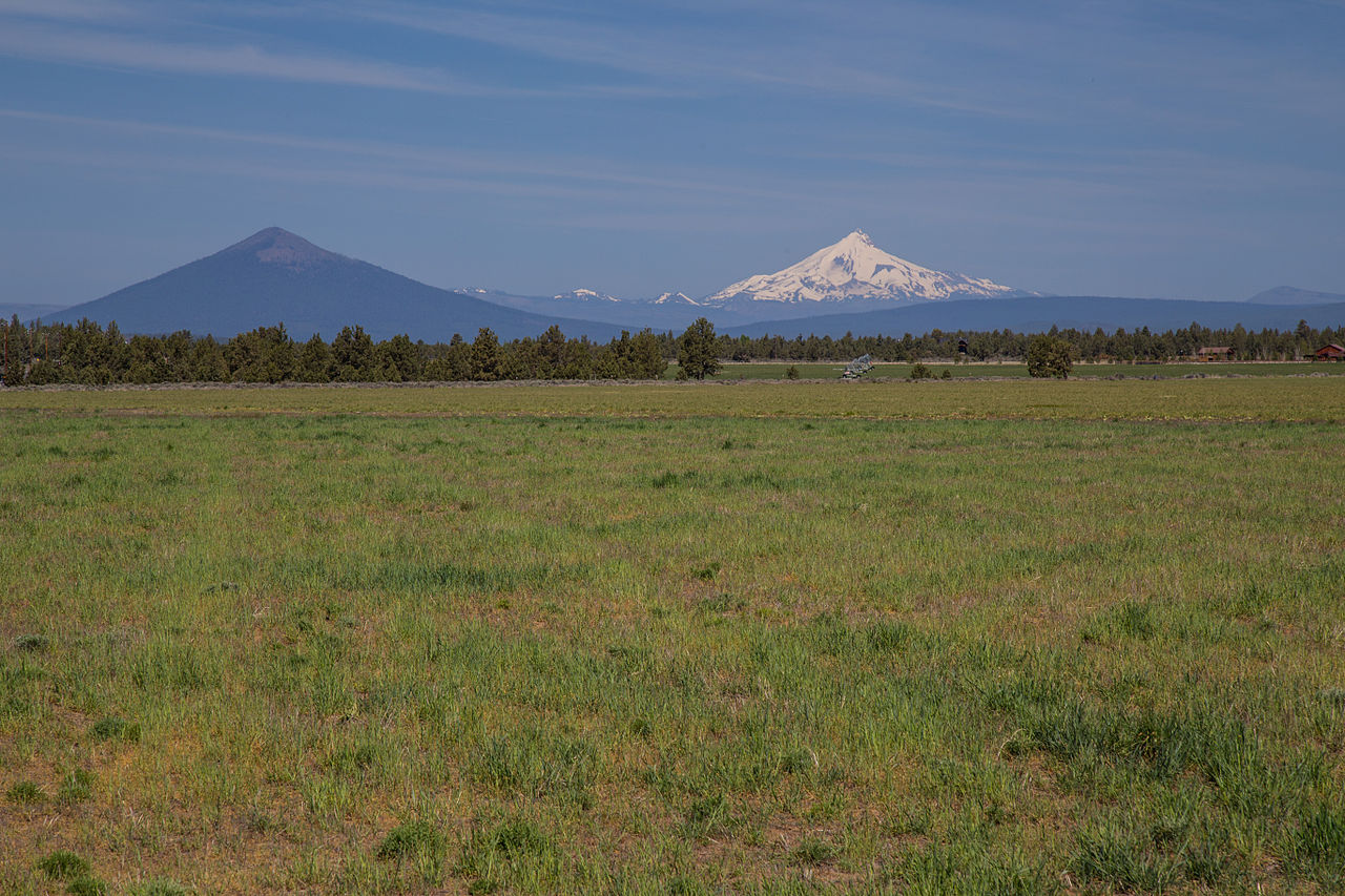 Black ButteSummit · ~50 min drivePhoto: Johnny.m76, CC BY 3.0 (via Wikimedia Commons)
 Hayrick ButteSummit · ~52 min drivePhoto: Jsayre64, CC BY-SA 3.0 (via Wikimedia Commons)
 Three Fingered JackSummit · ~1h 1m drivePhoto: Johannes Menzel, CC BY-SA 4.0 (via Wikimedia Commons)
