Three Creeks Lake Campground
Campground
Campground · 2.9 mi from the trail
 Photo: U.S. Forest Service- Pacific Northwest Region, Public domain (via Wikimedia Commons)
Closure in the area
There's a closure order in Deschutes National Forest. It doesn't name Ball Butte, so check the source for the area it covers (3 listed).
West Bend Area Trail Closures
Agency closure covering Deschutes National Forest · USFS · Deschutes National Forest
West Bend IRSC- Area, Road and Trail Closure
Agency closure covering Bend/Fort Rock Ranger District · Order 06-01-01-26-03 · USFS · Bend/Fort Rock Ranger District
Cabin Butte Area Closure
Agency closure covering Bend/Fort Rock Ranger District · Order 06-01-01-26-01 · USFS · Bend/Fort Rock Ranger District
Camping & Campfire Restrictions Forest Order
Agency alert covering Deschutes National Forest · Order 06-01-26-01 · USFS · Deschutes National Forest
Cave Resource Protection Forest Order
Agency alert covering Deschutes National Forest · Order 06-01-26-02 · USFS · Deschutes National Forest
As of · Source: USFS · Deschutes National Forest. Agencies don't list every closure — check before you go.
Ball Butte is a summit of about 8,093 feet in Deschutes County, Oregon, inside the Three Sisters Wilderness. It lies within the Bend/Fort Rock Ranger District of the Deschutes National Forest, and the nearest town is Seventh Mountain, about 15 miles away. Broken Top sits just 0.6 miles away, and the Ramble On and Todd Trail #34 hikes are within about 3 miles. For an overnight base, Three Creeks Lake Campground is about 3 miles off.
Three Creeks Lake Campground
Campground
Bend Pizza Kitchen
Restaurant
Clearwater Gallery
Gallery
Places © OpenStreetMap contributors
More in SistersDaily highs and lows, wind and the chance of precipitation at the summit for the next 7 days, from the Open-Meteo model.
Elevation from USGS 3D Elevation Program terrain data (about 10 m resolution).
We don't know of a mapped trail or route to the summit of Ball Butte. Plan the approach with local maps, a guidebook or a local guide, and check conditions before you go.
8,093 ft (2,467 m).
We don't know of a mapped trail or route to the summit. Plan the approach with local maps, a guidebook or a local guide.


 Broken TopHikingPhoto: U.S. Forest Service- Pacific Northwest Region, Public domain (via Wikimedia Commons)0.6 mi
 Todd Trail #34HikingPhoto: U.S. Forest Service- Pacific Northwest Region, Public domain (via Wikimedia Commons)2.7 mi
 Three Creeks Lake CampgroundCampingPhoto: Recreation.gov (RIDB) / public domain2.9 mi
 Driftwood Campground - DeschutesCampingPhoto: Recreation.gov (RIDB) / public domain3.3 mi
Source: Roamze catalog (indexable pages within 10 miles, PostGIS distance)
Broken TopSummit · ~3 min drivePhoto: Public domain (via Wikimedia Commons)Mount BachelorSummit · ~10 min drivePhoto: DimiTalen, CC BY-SA 3.0 (via Wikimedia Commons) Pilot ButteSummit · ~33 min drivePhoto: Cacophony, CC BY-SA 3.0 (via Wikimedia Commons)
 Mount WashingtonSummit · ~34 min drivePhoto: Lyn Topinka, USGS, Public domain (via Wikimedia Commons)
 Cline ButtesSummit · ~39 min drivePhoto: Orygun, CC BY-SA 4.0 (via Wikimedia Commons)
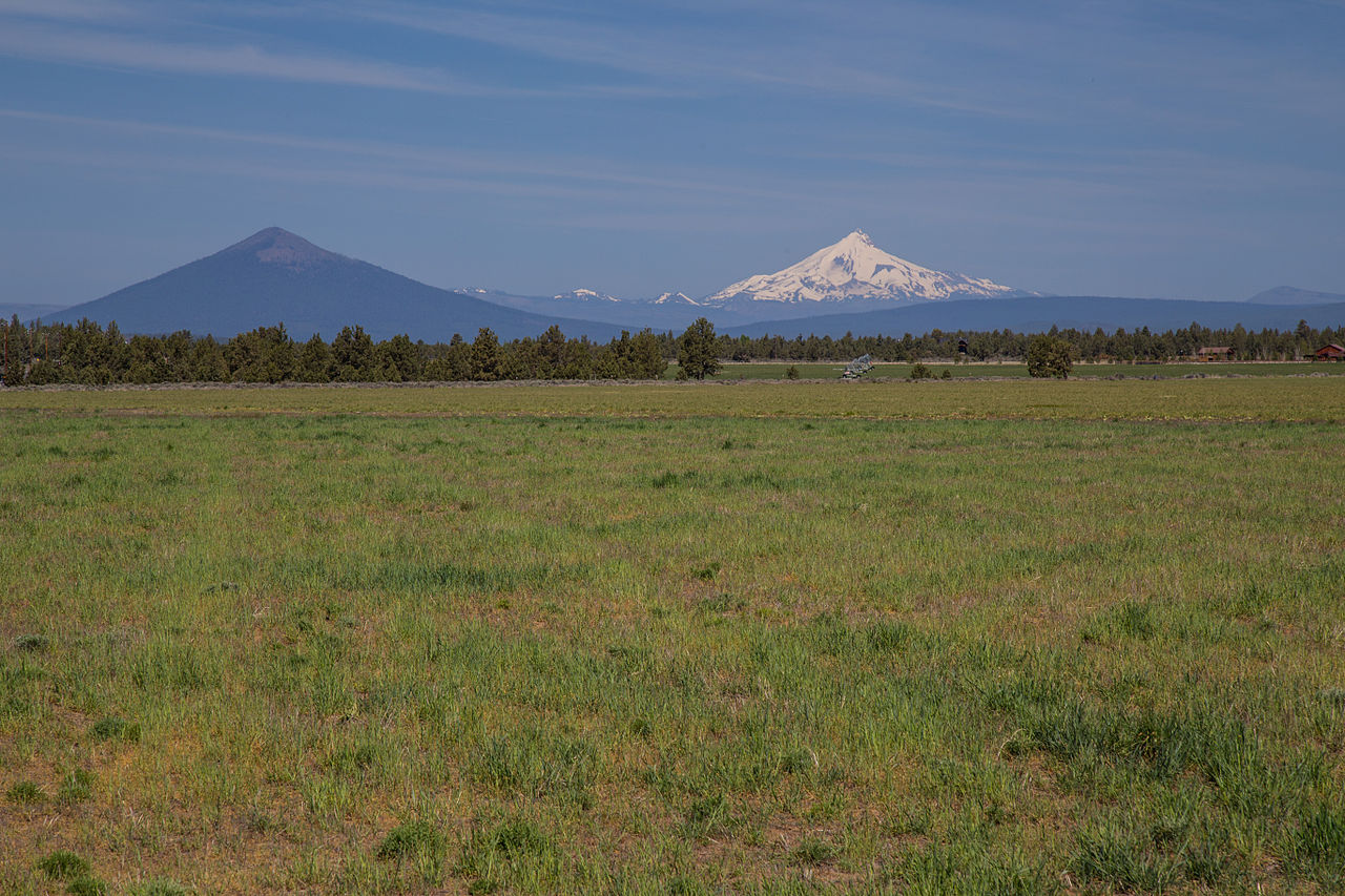 Black ButteSummit · ~40 min drivePhoto: Johnny.m76, CC BY 3.0 (via Wikimedia Commons)
 Hayrick ButteSummit · ~43 min drivePhoto: Jsayre64, CC BY-SA 3.0 (via Wikimedia Commons)
 Maiden PeakSummit · ~58 min drivePhoto: Jsayre64, CC BY-SA 3.0 (via Wikimedia Commons)
 Tumalo MountainSummit · ~8 min drivePhoto: Jsayre64, CC BY-SA 3.0 (via Wikimedia Commons)
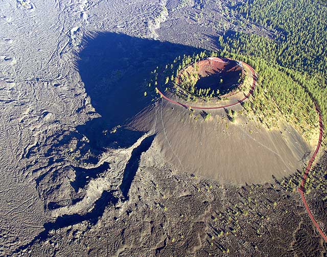 Lava ButteSummit · ~32 min drivePhoto: Q Myers, en:User:QDM, Public domain (via Wikimedia Commons)

