Mountain · 2 routes
Taylor Castle
5,430 ft · Oregon
- Summit
- 5,430 ft
- Routes
- 2 ways up
- Season
- Year-round
Routes up Taylor Castle
- OlallieHardabout 5,473 ft of climbing16.4 mi round tripSee the route
- Olallie Trail #3529Expertabout 8,547 ft of climbing45.4 mi round tripSee the route
| Olallie | Olallie Trail #3529 | |
|---|---|---|
| Climbing | About 5,473 ft | About 8,547 ft |
| Round trip | 16.4 mi | 45.4 mi |
| Difficulty | Hard | Expert |
| Terrain | Hike | Hike |
| Season | Year-round | — |
About Taylor Castle
Taylor Castle is a summit of 5,430 feet in the McKenzie River Ranger District of Oregon's Willamette National Forest, about 4.8 miles from the community of Foley Springs. The peak sits among a cluster of trails and paddling routes. French Pete Trail #3311 lies about 1.9 miles away, and Lowder Mountain and Quaking Aspen are both within about 2.3 miles. For an overnight base, Limberlost Campground is about 6 miles off.
Forecast on Taylor Castle
Daily highs and lows, wind and the chance of precipitation at the summit and route start for the next 7 days, from the Open-Meteo model.
Questions about Taylor Castle
How tall is Taylor Castle?
5,430 ft (1,655 m).
How many routes go to the summit of Taylor Castle?
2: Olallie and Olallie Trail #3529.
What is the shortest route up Taylor Castle?
Olallie, about 16.4 mi round trip.
When is the best time to climb Taylor Castle?
Year-round.
Mountains nearby
- Horsepasture Mountain5,658 ft · Oregon1 route2.2 mi away
- Olallie Mountain5,710 ft · Oregon1 route4.1 mi away
- Macduff Mountain5,000 ft · Oregon1 route5.7 mi away
- Yankee Mountain5,418 ft · Oregon1 route5.8 mi away
- Tipsoo Butte5,136 ft · Oregon1 route6.4 mi away
- Substitute Point6,333 ft · Oregon1 route8.6 mi away
Facts about this place
Where it is
- McKenzie River Ranger District · Ranger district
- Willamette National Forest · National forest
- Nearest town
- Foley Springs, Oregon · 4.8 mi
Conditions
Active alerts for McKenzie River Ranger District as of Oct 9, 2026:
Moose and Gordon Dispersed Camping Closure
information · posted Aug 24, 2026
Camping Restrictions in Cougar Recreation Area
information · posted Aug 24, 2026
Tamolitch Parking / Trail Construction Closure
information · posted Aug 24, 2026
Terwilliger Hot Springs Nudity, Alcohol, and Closed Times
information · posted Aug 24, 2026
Source: USFS forest alerts
Nearby
- French Pete Trail #3311Hiking1.9 mi
- Lowder MountainHiking2.2 mi
- Quaking AspenHiking2.3 mi
- East Fork South Fork McKenzie RiverCanoeing4 mi
 French Pete CreekCanoeingPhoto: JAR, CC BY 2.0 (via Wikimedia Commons)5.2 mi
- Limberlost CampgroundCamping6 mi
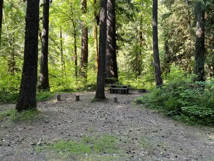 Horse Creek Group CampgroundCampingPhoto: Recreation.gov (RIDB) / public domain6.5 mi
- McKenzie River Trailhead at Paradise CampgroundCamping6.7 mi
Source: Roamze catalog (indexable pages within 10 miles, PostGIS distance)
Is Taylor Castle open right now?
Closure in the area
There's a closure order in Willamette National Forest. It doesn't name Taylor Castle, so check the source for the area it covers.
Cedar Creek Fire Closure
Agency closure covering Willamette National Forest · Order 06-18-10-26-04 · USFS · Willamette National Forest
FIRE CLOSURES: Current wildfire closures on the Willamette National Forest
Agency alert covering Willamette National Forest · USFS · Willamette National Forest
As of · Source: USFS · Willamette National Forest. Agencies don't list every closure — check before you go.
