Grasshopper Mountain
At a glance
Grasshopper Mountain is a summit of 5,538 feet in the Rogue-Umpqua Divide Wilderness, part of the Tiller Ranger District of the Umpqua National Forest in Oregon. The nearest town is Prospect, about 21 miles away. Summer is the most comfortable time to go. Typical averages from a nearby weather station at Crater Lake show July and August highs around 69°F with only about four wet days a month, while winter months bring highs in the low 30s and rain on most days. The closest trails are Cliff Lake, about 0.7 miles away, and Acker Divide, about 0.8 miles away. Falcon Creek campground is about 4 miles off, and the Rabbit Ears (Rogue) climbing area is about 5 miles away.
- summit
- 5,538 ft
- way up
- 1
- best months
- Mid-May–late Oct
Where it is: Rogue-Umpqua Divide Wilderness · Tiller Ranger District
Near: Trail
Best weeks to go
Mid-May to late October is usually best for the summit here.
Typical highs of 50–71°F and lows of 30°F or warmer in those weeks. Rain falls on about 40% of days at the wettest of them, so plan around showers.
Typical weather: NOAA 1991–2020 normals at Crater Lake Nps Hq, OR, 22 mi away. Not a forecast.
Typical weather by monthBest time to visit Grasshopper Mountain
Best months: May–October. Best months are the ones mostly made of the best weeks for the summit: typical temperatures in its comfortable range, few snowy days and not usually wet, judged with the same limits as our good-day forecasts.
Jan
33°
20°
18 wet
Feb
34°
19°
17 wet
Mar
36°
20°
18 wet
Apr
40°
23°
16 wet
May
49°
29°
12 wet
Jun
57°
34°
7 wet
Jul
69°
41°
4 wet
Aug
69°
42°
4 wet
Sep
63°
37°
6 wet
Oct
51°
30°
10 wet
Nov
38°
23°
16 wet
Dec
33°
19°
18 wet
Typical high / low (°F) and days with rain or snow, 1991–2020. Measured at Crater Lake Nps Hq, OR, 22.1 mi away at 6,485 ft. The station sits about 900 ft higher than this place, so expect it a little warmer here. This station doesn't record snowfall. Source: NOAA NCEI U.S. Climate Normals 1991–2020.
Been here? Tell people how it was.
Map © Mapbox © OpenStreetMap contributors - Rattlesnake Mountain6,665 ft · Oregon1 route6.1 mi away
- Cougar Butte5,508 ft · Oregon2 routes7.5 mi away
- Abbott Butte6,134 ft · Oregon1 route7.6 mi away
- Garwood Butte7,011 ft · Oregon1 route14 mi away
- The Watchman8,012 ft · Oregon1 route19 mi away
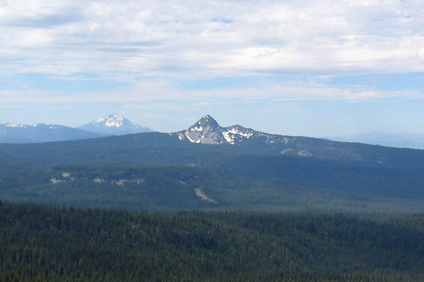 Union Peak7,702 ft · Oregon1 route21 mi awayPhoto: Jude Giampaolo Burntnickel at en.wikipedia, Public domain (via Wikimedia Commons)
- Union PeakSummitPhoto: Jude Giampaolo Burntnickel at en.wikipedia, Public domain (via Wikimedia Commons)~36 min drive
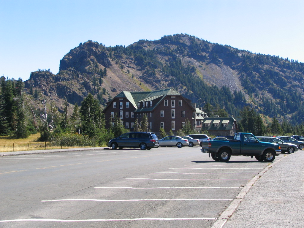 Garfield PeakSummitPhoto: Llywrch, CC BY-SA 2.5 (via Wikimedia Commons)~38 min drive
 Mount ThielsenSummitPhoto: W.E. Scott, USGS, Public domain (via Wikimedia Commons)~41 min drive
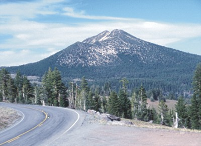 Mount ScottSummitPhoto: Ed Klimasauskas, USGS, Public domain (via Wikimedia Commons)~46 min drive
 Odell ButteSummitPhoto: Animeicity at English Wikipedia, CC BY-SA 3.0 (via Wikimedia Commons)~1h 15m drive
 Maiden PeakSummitPhoto: Jsayre64, CC BY-SA 3.0 (via Wikimedia Commons)~1h 23m drive
 Brown MountainSummitPhoto: Little Mountain 5, CC BY-SA 3.0 (via Wikimedia Commons)~1h 24m drive
 Roxy Ann PeakSummitPhoto: ZabMilenko at English Wikipedia, CC BY-SA 3.0 (via Wikimedia Commons)~1h 26m drive
 Quartz MountainSummitPhoto: Forest Service, Public domain (via Wikimedia Commons)~19 min drive
 Mount BaileySummitPhoto: Neonblak at English Wikipedia, Public domain (via Wikimedia Commons)~29 min drive
Also worth it near here
 Acker Divide TieMountain bikingPhoto: Ian Poellet, CC BY-SA 4.0 (via Wikimedia Commons)Next door
 FISH LAKEHikingPhoto: U.S. Forest Service- Pacific Northwest Region, Public domain (via Wikimedia Commons)~4 min drive
- Old CampgroundCamping~5 min drive
 Rabbit Ears (Rogue)Rock climbingPhoto: Oregon Department of Transportation, CC BY 2.0 (via Wikimedia Commons)~8 min drive
Conditions and forecast
Caution at last checkAgency alerts are in effect for this areaUSFS · checked 6 d agoDaily highs and lows, wind and the chance of precipitation at the summit and route start for the next 7 days, from the Open-Meteo model.
Questions about Grasshopper Mountain
How tall is Grasshopper Mountain?
5,538 ft (1,688 m).
How many routes go to the summit of Grasshopper Mountain?
One: Grasshopper Mountain.
When is the best time to climb Grasshopper Mountain?
Year-round.
Ask about this place
Questions about Grasshopper Mountain: conditions, access, timing. Answers say when something isn't known.
