Black Rock Fork
- 8.2 mi
- distance
- 3,833 ft
- high point
- Jun–Oct
- best months
Caution today
Agency alerts are in effect for this area; weather is good · USFS, OpenWeather · checked 6 h ago
Is Black Rock Fork open right now?
Closure in the area
There's a closure order in Tiller Ranger District. It doesn't name Black Rock Fork, so check the source for the area it covers.
Castle Fire Area, Road, and Trail Closure
Agency closure covering Tiller Ranger District · Order 06-15-02-26-03 · USFS · Tiller Ranger District
Tuttle Creek Road Closure
Agency alert covering Umpqua National Forest · USFS · Umpqua National Forest
Fall Prescribed Burning
Agency alert covering Umpqua National Forest · USFS · Umpqua National Forest
Poole Creek Campground Closed for the 2026 Season
Agency alert covering Umpqua National Forest · USFS · Umpqua National Forest
Buckeye Bridge and National Forest Service Road 29
Agency alert covering Tiller Ranger District · USFS · Tiller Ranger District
As of · Source: USFS · Tiller Ranger District. Agencies don't list every closure — check before you go.
Black Rock Fork is a paddling route in the Tiller Ranger District of Oregon's Umpqua National Forest, managed by the Forest Service. The nearest town is Tiller, about 8 miles away. Summer is the most comfortable time to paddle here. Typical July and August highs reach about 79°F with only four wet days a month, based on averages from a nearby weather station at Lemolo Lake. Winter brings highs in the upper 30s and regular snow days from November through March. Nearby, Castle Creek and Rocky Ridge are hiking options within about 3 miles. Camp Comfort Campground is about 3 miles away, and Copeland Creek, another canoeing spot, is roughly 7 miles off.
Local outfitters
- Diamond Lake Resort21 mi away
- The Fishin Hole Fly Shop38 mi away
Not on Roamze yet. Their page has how to reach them.
- Castle CreekHiking1.8 mi
- Rocky RidgeHiking2.6 mi
- Camp Comfort CampgroundCamping3.2 mi
- Skillet CreekCamping4.9 mi
- Copeland CreekCanoeing6.6 mi
- Buckeye CreekCanoeing7.7 mi
- Acker RockRock climbing7.8 mi
- Youtlkut PillarsRock climbing8.7 mi
Source: Roamze catalog (indexable pages within 10 miles, PostGIS distance)
 Cavitt CreekCanoeing · ~34 min drivePhoto: Bureau of Land Management Oregon and Washington, Public domain (via Wikimedia Commons)
- Toketee Lake Boat RampBoat launch · ~20 min drive
- Canton Creek CampgroundFloat trip · ~30 min drive
 Elk CreekCanoeing · ~40 min drivePhoto: Little Mountain 5, CC BY-SA 3.0 (via Wikimedia Commons)
- Gravel Bin River AccessBoat launch · ~29 min drive
 Middle Fork Willamette RiverCanoeing · ~47 min drivePhoto: Arkyan, CC BY-SA 3.0 (via Wikimedia Commons)
- Bogus Raft LaunchBoat launch · ~31 min drive
 South Umpqua RiverCanoeing · ~14 min drivePhoto: McD22, CC BY 2.0 (via Wikimedia Commons)
- South Shore Boat RampBoat launch · ~35 min drive
 Rogue RiverCanoeing · ~25 min drivePhoto: Bob Heims, U.S. Army Corps of Engineers, Public domain (via Wikimedia Commons)
Also worth it near here
 Beaver SwampHiking · ~6 min drivePhoto: U.S. Forest Service- Pacific Northwest Region, Public domain (via Wikimedia Commons)
 Cliff LakeMountain biking · ~9 min drivePhoto: Ian Poellet, CC BY-SA 4.0 (via Wikimedia Commons)
 Quartz MountainSummit · ~11 min drivePhoto: Forest Service, Public domain (via Wikimedia Commons)
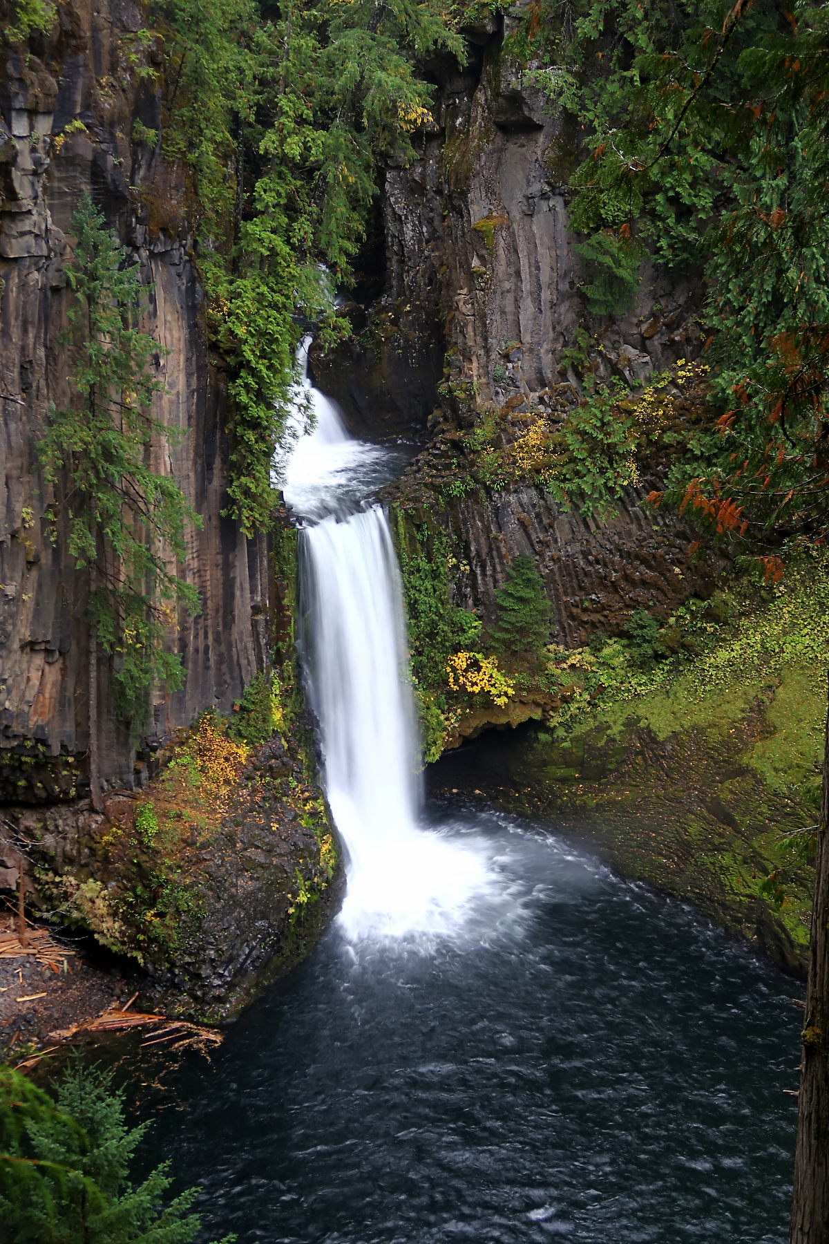 Toketee FallsWaterfall · ~18 min drivePhoto: Alexlockhart, CC BY-SA 4.0 (via Wikimedia Commons)
Best time to visit Black Rock Fork
Best months: June–October. Best months have typical highs of 55–85 °F, lows of 30 °F or warmer (32 °F where the station doesn't record snow), at most one snowy day and no more than 12 wet days.
Jan
39° / 27°
17 wet · 10 snow
Feb
42° / 27°
15 wet · 9 snow
Mar
46° / 29°
17 wet · 9 snow
Apr
50° / 32°
17 wet · 5 snow
May
61° / 38°
14 wet · 1 snow
Jun
68° / 43°
9 wet
Jul
79° / 48°
4 wet
Aug
79° / 47°
4 wet
Sep
72° / 43°
6 wet
Oct
58° / 36°
12 wet · 1 snow
Nov
45° / 31°
16 wet · 6 snow
Dec
38° / 26°
18 wet · 11 snow
Typical high / low (°F) and days with rain or snow, 1991–2020. Measured at Lemolo Lake 3 Nnw, OR, 22.5 mi away at 4,077 ft. Source: NOAA NCEI U.S. Climate Normals 1991–2020.
