Mount Bailey
 Photo: Neonblak at English Wikipedia, Public domain (via Wikimedia Commons)
- 8,371 ft
- summit
Is Mount Bailey open right now?
Alert in the area
The Forest Service lists 5 alerts for Diamond Lake Ranger District.
Fall Prescribed Burning
Agency alert covering Diamond Lake Ranger District · USFS · Diamond Lake Ranger District
Fall Prescribed Burning
Agency alert covering Umpqua National Forest · USFS · Umpqua National Forest
Poole Creek Campground Closed for the 2026 Season
Agency alert covering Umpqua National Forest · USFS · Umpqua National Forest
National Forest Service Road 28 Roadwork
Agency alert covering Umpqua National Forest · USFS · Umpqua National Forest
Blue-Green Algae Precaution for Diamond and Lemolo Lakes
Agency alert covering Umpqua National Forest · USFS · Umpqua National Forest
As of · Source: USFS · Diamond Lake Ranger District. Agencies don't list every closure — check before you go.
Mount Bailey is a summit of about 8,371 feet in Douglas County, Oregon, within the Diamond Lake Ranger District of the Umpqua National Forest. The nearest town is Beaver Marsh, about 21 miles away. Several other destinations sit within a few miles. The Three Lakes Snomo hike is about 2 miles away, and Thielsen View Campground is about 2.8 miles off. Garwood Butte and West Lake are both within about 3.4 miles.
Conditions and forecast
Daily highs and lows, wind and the chance of precipitation at the summit for the next 7 days, from the Open-Meteo model.
- Summit elevation
- 8,371 ft
Elevation from USGS 3D Elevation Program terrain data (about 10 m resolution).
We don't know of a mapped trail or route to the summit of Mount Bailey. Plan the approach with local maps, a guidebook or a local guide, and check conditions before you go.
Questions about Mount Bailey
How tall is Mount Bailey?
8,371 ft (2,551 m).
Is there a trail to the top of Mount Bailey?
We don't know of a mapped trail or route to the summit. Plan the approach with local maps, a guidebook or a local guide.
- Garwood Butte7,011 ft · Oregon1 route3.2 mi away
 Mount Thielsen9,112 ft · Oregon1 route7.8 mi awayPhoto: W.E. Scott, USGS, Public domain (via Wikimedia Commons)
- Tipsoo Peak8,013 ft · Oregon1 route10 mi away
- Rattlesnake Mountain6,665 ft · Oregon1 route11 mi away
- The Watchman8,012 ft · Oregon1 route15 mi away
- Grasshopper Mountain5,538 ft · Oregon1 route17 mi away
- THREE LAKES SNOMOHiking2 mi
 Thielsen View CampgroundCampingPhoto: Recreation.gov (RIDB) / public domain2.8 mi
- Garwood ButteHiking3.2 mi
- Rodley ButteHiking3.4 mi
- West LakeHiking3.4 mi
 Broken Arrow CampgroundCampingPhoto: Recreation.gov (RIDB) / public domain4 mi
- South Shore Hiker/Biker CampCamping4.1 mi
- South Shore PavilionCamping4.1 mi
Source: Roamze catalog (indexable pages within 10 miles, PostGIS distance)
- Mount ThielsenSummit · ~13 min drivePhoto: W.E. Scott, USGS, Public domain (via Wikimedia Commons)
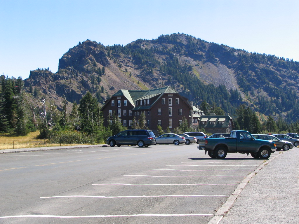 Garfield PeakSummit · ~31 min drivePhoto: Llywrch, CC BY-SA 2.5 (via Wikimedia Commons)
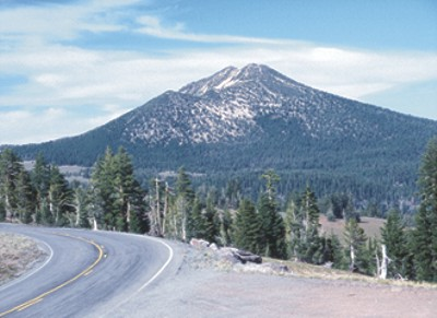 Mount ScottSummit · ~33 min drivePhoto: Ed Klimasauskas, USGS, Public domain (via Wikimedia Commons)
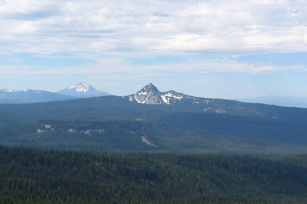 Union PeakSummit · ~38 min drivePhoto: Jude Giampaolo Burntnickel at en.wikipedia, Public domain (via Wikimedia Commons)
 Quartz MountainSummit · ~39 min drivePhoto: Forest Service, Public domain (via Wikimedia Commons)
 Diamond PeakSummit · ~44 min drivePhoto: Arkyan, CC BY-SA 3.0 (via Wikimedia Commons)
 Odell ButteSummit · ~48 min drivePhoto: Animeicity at English Wikipedia, CC BY-SA 3.0 (via Wikimedia Commons)
 Maiden PeakSummit · ~1h drivePhoto: Jsayre64, CC BY-SA 3.0 (via Wikimedia Commons)
 Bohemia MountainSummit · ~1h 2m drivePhoto: United States Forest Service, Public domain (via Wikimedia Commons)
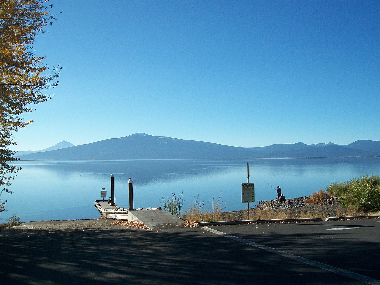 Pelican ButteSummit · ~1h 16m drivePhoto: Bobjgalindo, CC BY-SA 4.0 (via Wikimedia Commons)
Also worth it near here

