Viewpoint Mike Trail
- 0.8 mi
- round trip
- 602 ft
- climb
- 1,944 ft
- high point
- Out and back
- route
- May–Jun, Sep–Oct
- best months
Viewpoint Mike Trail is an easy, short hike on Bureau of Land Management land in the Rogue River area of southern Oregon. The trail is an out-and-back route of about 1.7 miles, with a high point of 1,944 feet. The climb is front-loaded, reaching its steepest stretch of about 24% at roughly 0.44 miles, and the trail drops back down to the starting elevation of 1,554 feet by the end. Late spring and early fall are the most comfortable times to go. Typical averages from a nearby weather station at Lost Creek Dam, at a similar elevation, show May highs around 72°F and September highs around 84°F, while July and August average about 90°F. The station sits a few hundred feet lower than the trail, so temperatures up top run a little cooler. The trip takes about an hour. Trail A lies about 1.8 miles away, and the Yellow Rock Trail and Rogue River Trail are both within 4 miles. Paddlers can find Trail Creek about 8 miles off.
- Trail AHiking1.8 mi
- Yellow Rock TrailHiking2.9 mi
- Rogue River TrailHiking3.9 mi
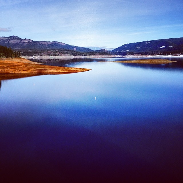 Lost Lake Edge TrailHikingPhoto: Robert Glen Fogarty, CC BY 2.0 (via Flickr)4.3 mi
- Trail CreekCanoeing8 mi
- (1)Aurora ButtressRock climbing9.9 mi
- (2)Cloud ButtressRock climbing10 mi
- (3)Long WallRock climbing10 mi
Source: Roamze catalog (indexable pages within 10 miles, PostGIS distance)
- Lost Lake Edge TrailHiking · ~7 min drivePhoto: Robert Glen Fogarty, CC BY 2.0 (via Flickr)
 Upper Rogue River TrailHiking · ~21 min drivePhoto: Little Mountain 5, CC BY-SA 3.0 (via Wikimedia Commons)
 Ponderosa TrailHiking · ~37 min drivePhoto: sloalan, Public Domain Dedication (CC0) (via Flickr)
 South Fork WildernessHiking · ~37 min drivePhoto: Forest Service Pacific Northwest Region, Public Domain Mark (via Flickr)
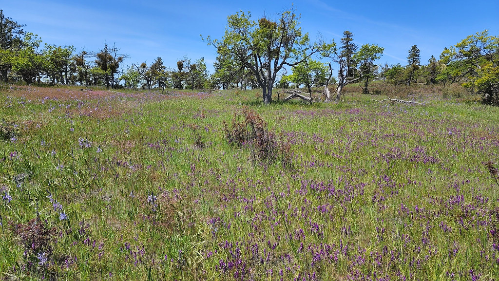 Pali TrailHiking · ~35 min drivePhoto: sloalan, Public Domain Dedication (CC0) (via Flickr)
- Rogue River TrailHiking · ~7 min drive
 Twilight TrailHiking · ~37 min drivePhoto: sloalan, Public Domain Dedication (CC0) (via Flickr)
- Devil's FlatHiking · ~31 min drive
- CCC TrailHiking · ~36 min drivePhoto: sloalan, Public Domain Dedication (CC0) (via Flickr)
- BEAVER CREEKHiking · ~33 min drive
Best time to visit Viewpoint Mike Trail
Best months: May–June and September–October. Best months have typical highs of 55–85 °F, lows of 30 °F or warmer (32 °F where the station doesn't record snow), at most one snowy day and no more than 12 wet days.
Jan
49° / 31°
17 wet
Feb
54° / 31°
14 wet
Mar
59° / 34°
16 wet
Apr
63° / 37°
14 wet
May
72° / 43°
10 wet
Jun
80° / 47°
6 wet
Jul
90° / 52°
3 wet
Aug
90° / 51°
2 wet
Sep
84° / 45°
4 wet
Oct
70° / 38°
9 wet
Nov
55° / 34°
15 wet
Dec
47° / 31°
18 wet
Typical high / low (°F) and days with rain or snow, 1991–2020. Measured at Lost Creek Dam, OR, 1.4 mi away at 1,580 ft. Source: NOAA NCEI U.S. Climate Normals 1991–2020.
Map and trail data © OpenStreetMap contributors
