Upper Rogue River Trail
 Photo: Little Mountain 5, CC BY-SA 3.0 (via Wikimedia Commons)
- 45.0 mi
- one way
- 4,751 ft
- climb
- 5,229 ft
- high point
- Point to point
- route
- Jun–Sep
- best months
The Upper Rogue River Trail is a 45-mile point-to-point hike in southern Oregon, starting at an elevation of about 2,680 feet and climbing to a high point of 5,229 feet. The trail is rated expert, and the route is long and steep, with a total elevation gain of about 4,750 feet. The nearest town is Prospect, about half a mile away. Summer is the most comfortable time to go. Typical averages from a nearby weather station at Crater Lake show July and August highs around 69°F with only about four wet days a month, while winter months bring highs in the low 30s and rain on most days. Bikes and horses are not allowed on this trail. Mill Creek Campground is about 3 miles away, and Abbott Creek Campground and River Bridge Campground are both within about 4.5 miles. Paddlers can find Mill Creek about 5 miles off.
Local outfitters
- The Fishin Hole Fly Shop19 mi away
- Diamond Lake Resort32 mi away
Not on Roamze yet. Their page has how to reach them.
Best time to go · Jun–Sep
Best time to visit Upper Rogue River Trail
Best months: June–September. Best months have typical highs of 55–85 °F, lows of 30 °F or warmer (32 °F where the station doesn't record snow), at most one snowy day and no more than 12 wet days.
Jan
33° / 20°
18 wet
Feb
34° / 19°
17 wet
Mar
36° / 20°
18 wet
Apr
40° / 23°
16 wet
May
49° / 29°
12 wet
Jun
57° / 34°
7 wet
Jul
69° / 41°
4 wet
Aug
69° / 42°
4 wet
Sep
63° / 37°
6 wet
Oct
51° / 30°
10 wet
Nov
38° / 23°
16 wet
Dec
33° / 19°
18 wet
Typical high / low (°F) and days with rain or snow, 1991–2020. Measured at Crater Lake Nps Hq, OR, 20.9 mi away at 6,485 ft. The station sits about 1,300 ft higher than this place, so expect it a little warmer here. This station doesn't record snowfall. Source: NOAA NCEI U.S. Climate Normals 1991–2020.
Keep exploring — more trails worth the drive
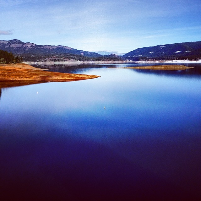 Photo: Robert Glen Fogarty, CC BY 2.0 (via Flickr)
Lost Lake Edge Trail
~13 min drive
1.92-mile out-and-back trail with 652 ft gain and 2,104 ft max elevation.
HIKE
Rogue River Trail
~14 min drive
19.2-mile out-and-back trail in Oregon with 3,965 ft elevation gain/loss.
HIKE
Bitterlick Trail
~16 min drive
10.28-mile out-and-back trail in Oregon with 3,808 ft elevation gain/loss.
HIKE
Sugar Pine Trail 1080
~16 min drive
5.52-mile out-and-back trail in Oregon with 2,054 ft elevation gain
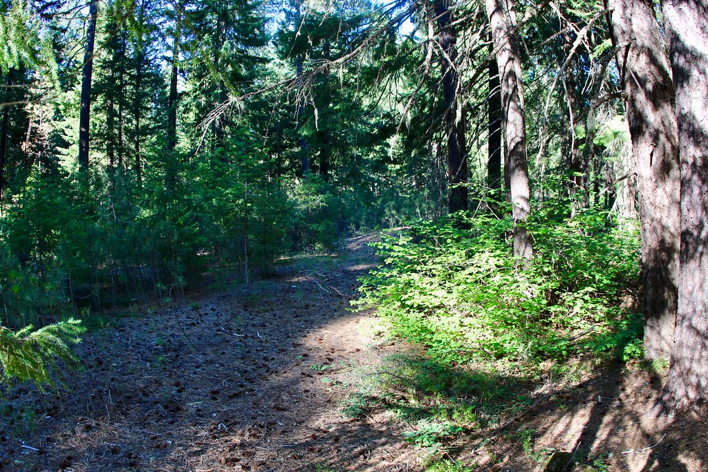 Photo: daveynin, CC BY 2.0 (via Flickr)
UNION CREEK CG NORDIC
~18 min drive
2.11-mile loop trail in Oregon with 462 ft elevation gain and loss.
HIKE
Discovery OHV
~20 min drive
46.39-mile point-to-point trail in Oregon with 4,878 ft gain.
HIKE
PIPELINE SNOMO TRAIL
~17 min drive
12.24-mile out-and-back hike in Oregon with 1,903 ft elevation gain
HIKE
Golden Stairs Trail
~18 min drive
2.25-mile out-and-back hike in Oregon with 1,570 ft gain
 Photo: zappowbang, CC BY-SA 2.0 (via Flickr)
Union Creek Trail
~18 min drive
1.1-mile out-and-back trail in Oregon with 218 ft of elevation gain.
HIKE
ROCKTOP SNOMO TRAIL
~21 min drive
18.32-mile point-to-point trail in Oregon with 5,170 ft elevation gain.

Map and trail data © OpenStreetMap contributors
