Yellow Rock Trail
- 2.4 mi
- round trip
- 2,055 ft
- climb
- 2,979 ft
- high point
- Out and back
- route
- May–Jun, Sep–Oct
- best months
Yellow Rock Trail is a moderate hike in southern Oregon, about 2.4 miles from the community of McLeod. The trail is an out-and-back route that climbs to about 2,979 feet from a starting point near 2,794 feet, with a round-trip elevation gain of about 2,055 feet. That makes it a short but steady climb, and the steepest section comes around 1.5 miles in, where the grade reaches about 17%. For the most comfortable conditions, aim for late spring or early fall. Typical averages from a nearby weather station show highs around 71°F in May and 70°F in October, with July and August highs near 89°F. That station sits a few hundred feet lower than the trail's high point, so temperatures on top run a little cooler. The hike takes about 2.5 hours. Viewpoint Mike Trail lies about 2.7 miles away, and the Rogue River Trail is about 2.9 miles off. Paddlers can reach Trail Creek, roughly 6.8 miles away, and Flounce Rock Trails, about 5.2 miles away.
Local outfitters
- The Fishin Hole Fly Shop8 mi away
- Momentum River Expeditions35 mi away
Not on Roamze yet. Their page has how to reach them.
Best time to go · May–Jun, Sep–Oct
Best time to visit Yellow Rock Trail
Best months: May–June and September–October. Best months have typical highs of 55–85 °F, lows of 30 °F or warmer (32 °F where the station doesn't record snow), at most one snowy day and no more than 12 wet days.
Jan
50° / 30°
16 wet
Feb
54° / 31°
14 wet
Mar
58° / 33°
16 wet
Apr
62° / 35°
15 wet
May
71° / 41°
11 wet
Jun
78° / 45°
5 wet
Jul
89° / 50°
3 wet
Aug
89° / 49°
2 wet
Sep
83° / 44°
4 wet
Oct
70° / 38°
9 wet
Nov
55° / 34°
16 wet
Dec
48° / 30°
17 wet
Typical high / low (°F) and days with rain or snow, 1991–2020. Measured at Prospect 2 Sw, OR, 9.6 mi away at 2,482 ft. This station doesn't record snowfall. Source: NOAA NCEI U.S. Climate Normals 1991–2020.
Keep exploring — more trails worth the drive
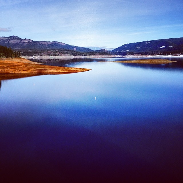 Photo: Robert Glen Fogarty, CC BY 2.0 (via Flickr)
Lost Lake Edge Trail
~7 min drive
1.92-mile out-and-back trail with 652 ft gain and 2,104 ft max elevation.
 Photo: Little Mountain 5, CC BY-SA 3.0 (via Wikimedia Commons)
Upper Rogue River Trail
~19 min drive
45.00-mile point-to-point trail in Oregon with 4,104 ft elevation gain.
 Photo: Forest Service Pacific Northwest Region, Public Domain Mark (via Flickr)
South Fork Trail
~37 min drive
9.98-mile out-and-back trail in Oregon with 1,660 ft gain/loss
HIKE
Bitterlick Trail
~21 min drive
10.28-mile out-and-back trail in Oregon with 3,808 ft elevation gain/loss.
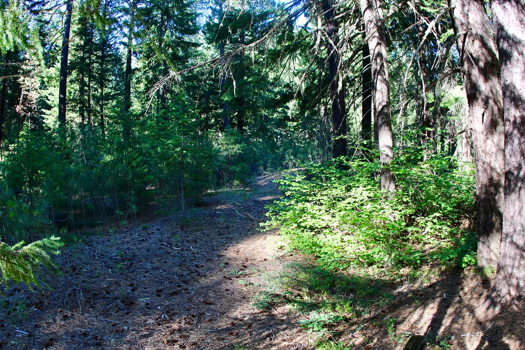 Photo: daveynin, CC BY 2.0 (via Flickr)
UNION CREEK CG NORDIC
~33 min drive
2.11-mile loop trail in Oregon with 462 ft elevation gain and loss.
HIKE
Rogue River Trail
~5 min drive
19.2-mile out-and-back trail in Oregon with 3,965 ft elevation gain/loss.
HIKE
Viewpoint Mike Trail
~5 min drive
2.58-mile out-and-back hike in Oregon with 1,395 ft elevation gain
HIKE
South Fork
~27 min drive
12-mile out-and-back trail in Oregon with 1,464 ft of elevation gain.
 Photo: zappowbang, CC BY-SA 2.0 (via Flickr)
Union Creek Trail
~33 min drive
1.1-mile out-and-back trail in Oregon with 218 ft of elevation gain.
HIKE
BEAVER CREEK
~29 min drive
12.78-mile out-and-back trail in Oregon with 5,054 ft elevation gain and loss.

