Still Creek
Campground
Campground · 1.1 mi from the trail
 Photo: Scott Cameron, CC BY 3.0 (via Wikimedia Commons)
Caution today
Agency alerts are in effect for this area; weather is good · USFS, OpenWeather · checked 8 h ago
Alert in the area
The Forest Service lists 4 alerts for Zigzag Ranger District.
Tamarack Quarry closed beginning Sept. 1
Agency alert covering Zigzag Ranger District · Order 06-06-09-26-12 · USFS · Zigzag Ranger District
Eagle Creek Fire Area Closures
Agency alert covering Mt. Hood National Forest · Order 06-22-01-26-04 · USFS · Mt. Hood National Forest
FR 4613 road damage- use caution
Agency alert covering Mt. Hood National Forest · USFS · Mt. Hood National Forest
Crane Creek bridge closed on the Barlow Road
Agency alert covering Mt. Hood National Forest · USFS · Mt. Hood National Forest
As of · Source: USFS · Zigzag Ranger District. Agencies don't list every closure — check before you go.
Timberline to Town Trail #756 is a 4.87-mile moderate hike in the Zigzag Ranger District of Mt. Hood National Forest, managed by the Forest Service. The trail is an out-and-back that starts at about 4,126 feet and climbs to a high point of 5,947 feet, with a total gain of 2,043 feet over the round trip. The climb is front-loaded, and the steepest stretch comes at about 2.1 miles in, where the grade reaches 15%. The trail begins near the low point of 4,092 feet and ends at the same elevation, so the full round trip covers about 9.7 miles. The route is a single outing rather than a link between two destinations, and the closest neighbors are the Skiway Trail #755B and Camp Creek Trail, both about 0.1 mile away. Still Creek campground sits about 1.1 miles off, and Alpine Campground is about 2.5 miles away. Climbers can find Trillium Lake Crag (Mosquito Butte) at a similar distance.
Still Creek
Campground
Glacier Haus
Restaurant
Places © OpenStreetMap contributors
More in Mount Hood VillagesNot on Roamze yet. Their page has how to reach them.
Photo: Scott Cameron, CC BY 3.0 (via Wikimedia Commons)Skiway Trail #755B
Next door
1.46-mile out-and-back trail in Oregon with 356 ft elevation gain and loss.
 Photo: Scott Cameron, CC BY 3.0 (via Wikimedia Commons)
Alpine Trail #660
~1 min drive
4.68-mile out-and-back hike in Oregon with 1,595 ft elevation gain
 Photo: mjfmjfmjf, CC BY 2.0 (via Flickr)
Mirror Lake Trail #664
~3 min drive
5.02-mile out-and-back trail in Oregon with 2,535 ft elevation gain and loss.
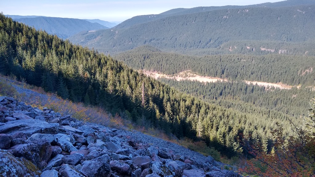 Photo: mjfmjfmjf, CC BY 2.0 (via Flickr)
Hidden Lake Trail #779
~4 min drive
8.38-mile out-and-back hike to Hidden Lake in Oregon with 2,744 ft elevation gain.
Photo: Scott Cameron, CC BY 3.0 (via Wikimedia Commons)Summit
~1 min drive
3.20-mile out-and-back trail in Oregon with 737 ft gain
 Photo: Oregon's Mt. Hood Territory., Public domain (via Wikimedia Commons)
MIRROR LAKE SNOWSHOE
~2 min drive
3.54-mile out-and-back snowshoe trail in Oregon with 1,298 ft elevation gain.
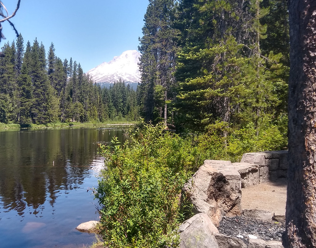 Photo: mjfmjfmjf, CC BY 2.0 (via Flickr)
MUD CREEK LOOP NORDIC
~5 min drive
13.98-mile out-and-back trail in Oregon with 1,785 ft elevation gain and loss.
 Photo: U.S. Forest Service- Pacific Northwest Region, Public domain (via Wikimedia Commons)
Paradise Park Trail #778
~4 min drive
6.33-mile out-and-back trail in Oregon with 814 ft gain.
 Photo: OregonDOT, CC BY 2.0 (via Flickr)
Barlow Trail #601A
~2 min drive
1.2-mile out-and-back trail in Oregon with 248 ft elevation gain.
Photo: Scott Cameron, CC BY 3.0 (via Wikimedia Commons)Optimator Trail
~3 min drive
4.6-mile out-and-back trail in Oregon with 2,001 ft elevation gain and loss.
Map and trail data © OpenStreetMap contributors

