Three Mile Lake South
- 2.0 mi
- round trip
- 446 ft
- climb
- 196 ft
- high point
- Out and back
- route
- Feb–Nov
- best months
Is Three Mile Lake South open right now?
Closure in the area
There's a closure order in Siuslaw National Forest. It doesn't name Three Mile Lake South, so check the source for the area it covers.
Homestead Trailhead Closure
Agency closure covering Siuslaw National Forest · Order 06-12-10-26-11 · USFS · Siuslaw National Forest
Sutton Lake Boat Ramp Closure
Agency alert covering Siuslaw National Forest · Order 06-12-10-26-07 · USFS · Siuslaw National Forest
As of · Source: USFS · Siuslaw National Forest. Agencies don't list every closure — check before you go.
Three Mile Lake South is an easy 2-mile out-and-back hike in the Central Coast Ranger District-ODNRA of Siuslaw National Forest in Oregon, managed by the Forest Service. The trail is natural-surfaced and rated easy, with a total climb of about 450 feet and a steepest stretch of about 18% at roughly 0.9 miles in. The route is rolling, with a low point of about 33 feet and a high of about 196 feet. Bikes and horses are both allowed, and the trail is not accessible. Summer is the most comfortable time to go. Typical averages from a nearby weather station at Winchester Bay show July and August highs around 70°F with lows near 52°F, while winter highs sit in the low 50s. Tahkenitch Campground is about 3.6 miles away, and Tahkenitch Landing Campground and Boating Site is about 3.9 miles away. Three Mile Lake North is about 3.5 miles off, and Tahkenitch Creek Trail #1336 is about 3.5 miles away.
Local outfitters
- Bay Point Landing26 mi away
- The Big K Guest Ranch31 mi away
Not on Roamze yet. Their page has how to reach them.
- Tahkenitch-Three Mile Tie TrlHiking2 mi
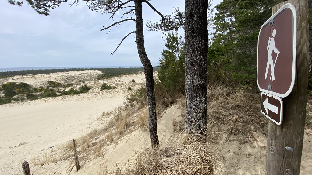 Tahkenitch Creek Trail #1336HikingPhoto: lamblukas, CC BY 2.0 (via Flickr)3.5 mi
- Three Mile Lake NorthHikingPhoto: lamblukas, CC BY 2.0 (via Flickr)3.5 mi
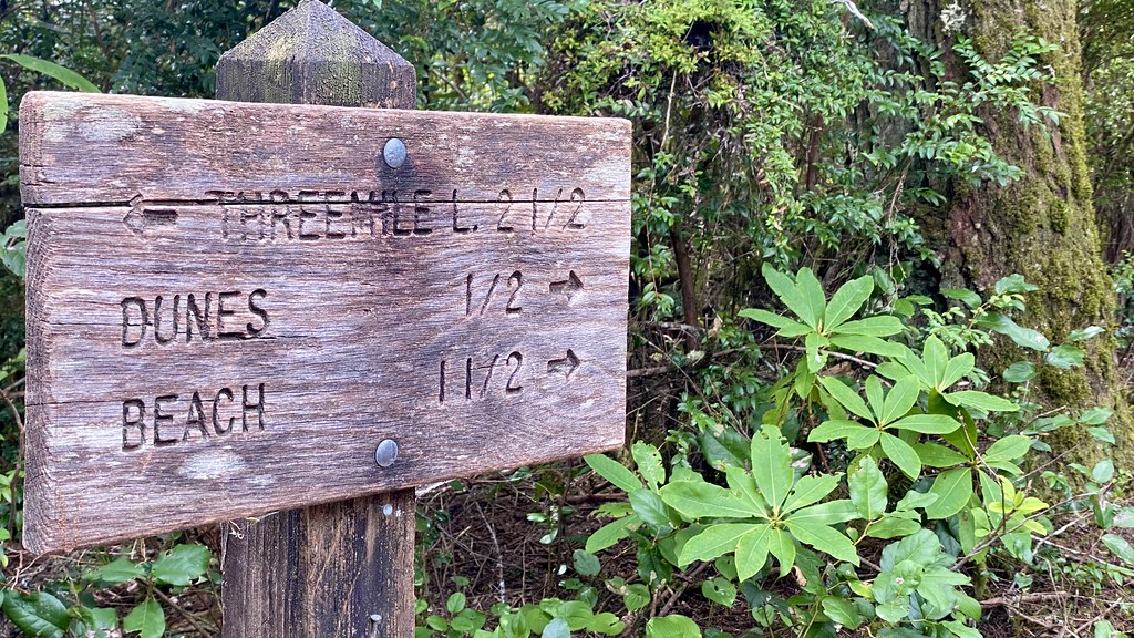 Tahkenitch CampgroundCampingPhoto: lamblukas — CC BY 2.0 (via Flickr)3.6 mi
- Tahkenitch Landing Campground and Boating SiteCamping3.9 mi
- Carter Lake CampgroundCamping7.9 mi
- Scholfield CreekCanoeing8.4 mi
- Fivemile CreekCanoeing9.4 mi
Source: Roamze catalog (indexable pages within 10 miles, PostGIS distance)
- Three Mile Lake NorthHiking · ~6 min drivePhoto: lamblukas, CC BY 2.0 (via Flickr)
- Tahkenitch CreekHiking · ~7 min drivePhoto: lamblukas, CC BY 2.0 (via Flickr)
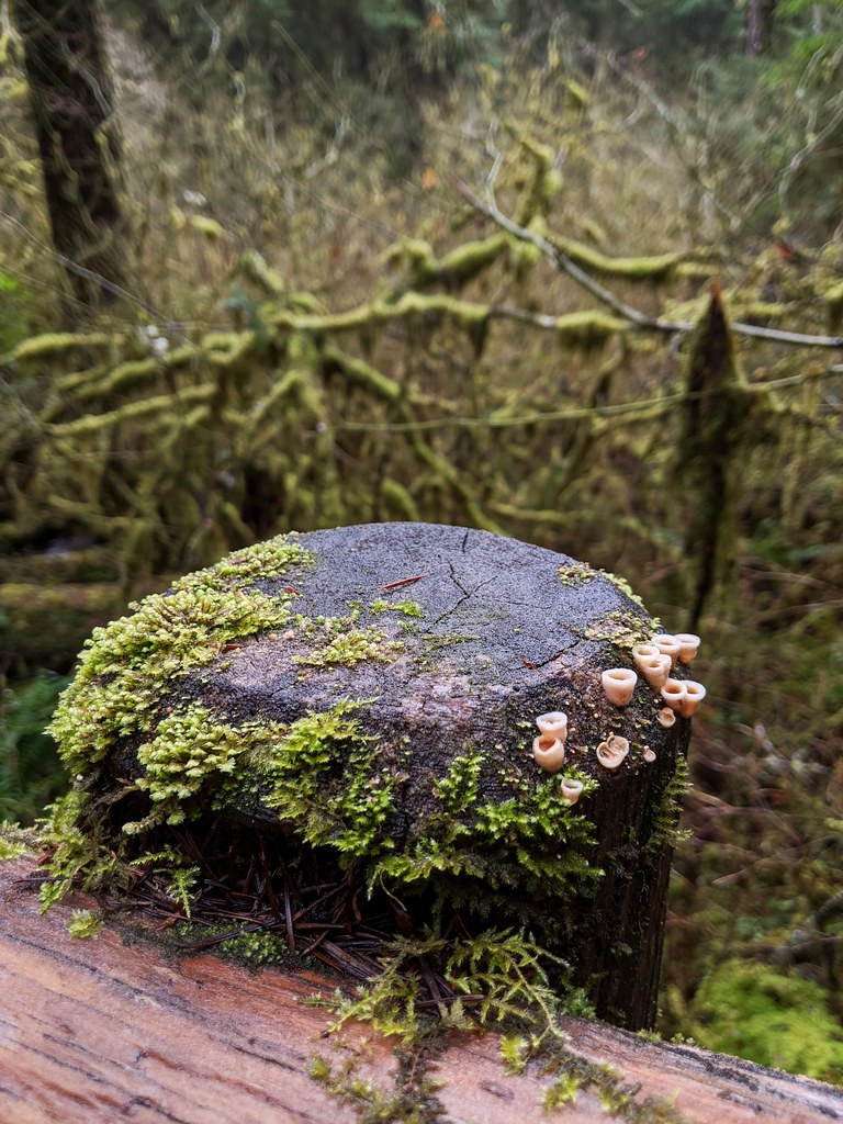 North Fork Smith River TrailHiking · ~37 min drivePhoto: Jonathan Lidbeck, CC BY 2.0 (via Flickr)
 Sutton Creek NorthHiking · ~37 min drivePhoto: Kris Arnold from New York, USA, CC BY-SA 2.0 (via Wikimedia Commons)
 TAHKENITCH CREEKHiking · ~8 min drivePhoto: ilya_ktsn, CC BY 2.0 (via Flickr)
 Siltcoos Lake TrailHiking · ~15 min drivePhoto: REM ~ Photo Off - On, CC BY 2.0 (via Flickr)
 Oregon Dunes Loop TrailHiking · ~11 min drivePhoto: Gail, CC BY 4.0 (via Wikimedia Commons)
- Kentucky FallsHiking · ~39 min drivePhoto: Jonathan Lidbeck, CC BY 2.0 (via Flickr)
- Taylor Dunes TrailHiking · ~14 min drivePhoto: REM ~ Photo Off - On, CC BY 2.0 (via Flickr)
- Loon Lake Waterfall TrailHiking · ~33 min drive
Best time to visit Three Mile Lake South
Best months: February–November. Best months have typical highs of 55–85 °F, lows of 30 °F or warmer (32 °F where the station doesn't record snow), at most one snowy day and no more than 12 wet days.
Jan
54° / 39°
Feb
55° / 39°
Mar
56° / 39°
Apr
59° / 42°
May
62° / 46°
Jun
66° / 49°
Jul
70° / 52°
Aug
70° / 52°
Sep
71° / 50°
Oct
65° / 46°
Nov
58° / 42°
Dec
53° / 39°
Typical high / low (°F) and days with rain or snow, 1991–2020. Measured at Winchester Bay Coast Grd, OR, 4.5 mi away at 8 ft. This station doesn't record snowfall. Source: NOAA NCEI U.S. Climate Normals 1991–2020.
